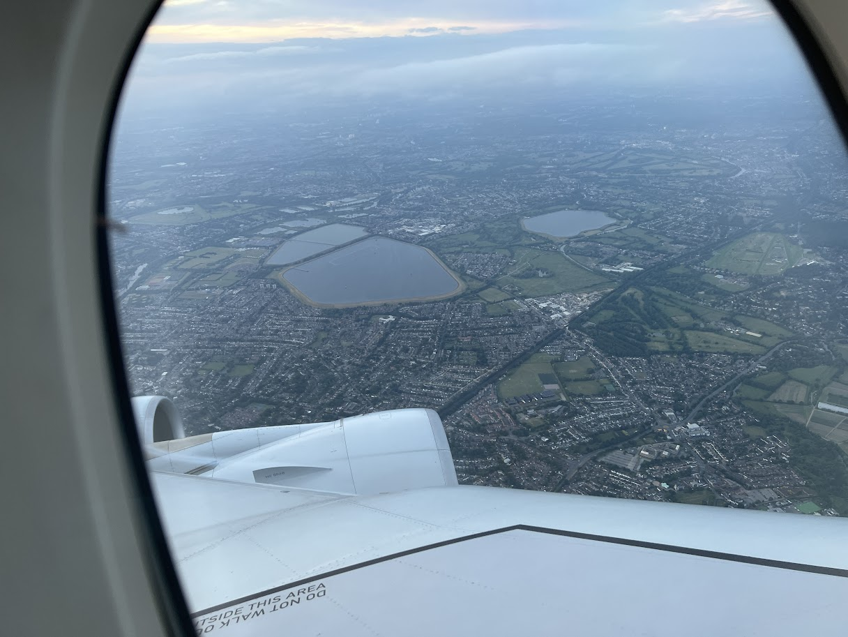
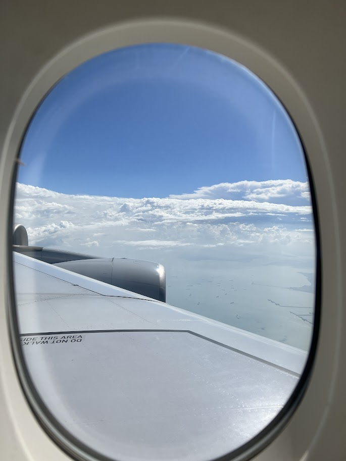
Air travel has shrunk the world, making it possible to cross continents in a single day. Today’s aviation marvels, like direct flights from Singapore to New York or London to Sydney, make journeys once considered arduous more accessible. But behind the allure of clocking 14, 17, or even 19 hours in the sky lies a set of physical, psychological, and logistical challenges.
So what happens to your body on (ultra) long-haul flights?
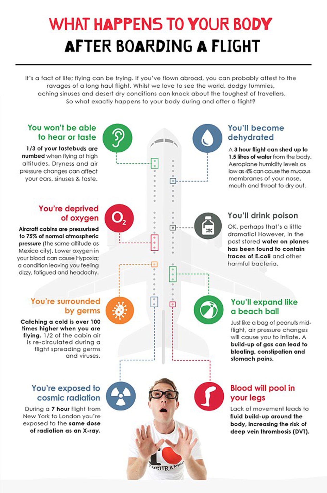
Dehydration and Humidity: Aircraft cabins typically have humidity levels significantly lower than those of most deserts, often below 20%. This causes rapid dehydration, leading to symptoms such as dry skin, parched lips, sore eyes, and an overall sense of tiredness. Prolonged dehydration may also aggravate headaches and impair your body’s ability to ward off illnesses.
Circadian Rhythms and Fatigue: Long-haul flights often cross multiple time zones. This disrupts your circadian rhythm, or your body’s internal clock, resulting in jet lag. Symptoms include insomnia, daytime fatigue, impaired concentration, digestive issues, and decreased physical performance.
Reduced Oxygen and Cabin Pressure: Aircraft cabins are pressurised to simulate an altitude of 6,000 to 8,000 feet. Oxygen saturation drops, which can lead to a sensation of breathlessness, mild hypoxia, which is especially concerning for people with pre-existing heart/lung conditions, and increased fatigue.
Immobility and Blood Clot Risks: Extended periods of limited movement can slow blood circulation in the legs, increasing the risk of deep vein thrombosis (DVT), blood clots that can be life-threatening if they travel to the lungs. Swollen feet, muscle stiffness, and general discomfort are common byproducts of sitting for hours without movement.
Bloating, Gas, and Digestive Upset: Lower cabin pressure can cause gases in your intestines to expand, resulting in bloating, indigestion, or abdominal discomfort. It’s common to feel gassy or experience changes in bowel habits after long flights.
Stress, Germs, and Energetic Drain: Travelling exposes you to more germs and stress; think airport crowds, queues, and irregular routines. All these factors contribute to fatigue and lower immunity upon arrival.
Weighing Your Options: Nonstop vs. Transit (Connecting) Flights
When deciding between nonstop flights and those with transits or connections, travellers need to weigh several considerations. Nonstop flights are undoubtedly the fastest and most straightforward way to reach your destination, sparing you the hassle and potential stress of layovers, missed connections, or lost luggage. This simplicity and predictability can contribute to a smoother travel experience, allowing you to maintain a more regular sleep and meal schedule. However, nonstop ultra-long-haul flights can be more expensive and exert a greater physical toll, as being confined to an aircraft seat for extended periods increases discomfort, fatigue, and risks related to prolonged immobility. Not all city pairs offer nonstop service, which can also limit options.
On the other hand, connecting flights typically present a more budget-friendly alternative, often costing less than their nonstop counterparts. They also break up the journey, providing you with opportunities to stretch, refresh, or even explore a new city during a layover. These routes offer greater flexibility in terms of airlines, schedules, and potential stopover destinations. The downsides, however, include a longer total travel time and more opportunities for travel disruptions due to delays, missed connections, or baggage mishandling. Ultimately, choosing nonstop or connecting flights comes down to balancing priorities: whether you place more value on speed and convenience or on cost savings and the ability to break up the trip.
When Should You Choose Each? If you prize speed, simplicity, and convenience, and your budget allows, nonstop flights are preferable. If you value saving money, increased flexibility, or want a physical break on ultra-long trips, connecting flights may suit you better.
Making Long- and Ultra-Long-Haul Flights Bearable: Tips, Tricks, and Hacks
Surviving (and even enjoying) hours in the sky requires planning, adaptability, and a toolkit of comfort strategies. Here’s what seasoned travellers and medical experts recommend:

Before You Fly
- Rest Well in Advance: Try to get a solid night’s sleep before your journey.
- Exercise and Shower: A brisk workout and relaxing hot shower right before traveling aid relaxation and circulation.
- Dress for Comfort: Wear loose-fitting, layered clothing; consider compression socks to reduce DVT risk.
Packing Essentials
- Hydration Helpers: Bring a refillable water bottle to fill after passing security. Drink often, and minimise caffeine and alcohol, which amplify dehydration.
- Entertainment Arsenal: Pre-load your device with movies, books, music, podcasts, games, and chargers; avoid relying solely on in-seat entertainment.
- Snack Savvy: Pack healthy snacks like nuts, fruit, or energy bars. Airline food schedules may not suit your hunger or dietary preferences.
- Travel Comfort Gear: Don’t forget a supportive neck pillow, sleep mask, earplugs or noise-cancelling headphones, and a lightweight blanket or scarf.
- Personal Care Kit: Moisturiser, lip balm, toothbrush, toothpaste, and facial wipes will keep you feeling fresh.
In-Flight Hacks
- Move Regularly: Walk the aisles as allowed; at minimum, do foot pumps, ankle circles, mini stretches, and stand up every 60–90 minutes.
- Stay Hydrated: Sip water throughout the flight, even if you don’t feel thirsty.
- Minimise Alcohol and Caffeine: Alcohol disrupts sleep patterns; caffeine heightens dehydration and can delay recovery from jet lag.
- Sleep Smart: Adjust your watch to the destination time and try to sleep in blocks matched to your new schedule. Use a sleep mask and neck pillow for better rest. Consider (with medical advice) light sleep aids or melatonin.
- Dress Warmly: Cabins can feel chilly; layer up as needed.
- Plan for Arrival: Use spare time to review destination details, meet work deadlines, or journal about your trip, it makes the time feel productive and meaningful.
East vs. West: Does Direction Matter?
Flight times are often shorter when flying eastward, particularly on transcontinental and transpacific routes. This is mostly due to prevailing jet streams, powerful, high-altitude winds that generally move west to east in both hemispheres. Planes heading east can ride these “sky rivers” and cut total flight time by 30–90 minutes or more, depending on the route.

Jet Lag: East or West, Which Is Worse?
Jet lag is typically worse when flying east than west. The reason: your body clock finds it harder to adjust to a shorter day (phase advance, flying east) than a longer one (phase delay, flying west). Essentially while flying west, you “gain” hours, and your circadian rhythm is better able to stretch the day, a process more natural to most people. On the other hand, if you fly east, you “lose” hours, compressing the day and forcing your body to adapt to an earlier bedtime, which most find harder. So if If minimising jet lag is a top priority and routes/fares allow, opt for a westward journey to make your arrival a bit smoother, especially on multi-time-zone or ultra-long-haul flights.
Is flying ultra long-haul safe? Yes, for healthy individuals, though special care is needed if you have heart, lung, or blood conditions, or if you’re pregnant or have recently gone scuba diving. Always consult your doctor before booking.
Should I pay for that non-stop ticket? If time, routine, and convenience are huge for you (especially for business, families, or mobility concerns), the extra cost may be well worth it. If you’re price-sensitive, want a leisurely journey, or don’t mind breaking it up, connecting flights shine.
How can I make the economy class feel like business? While there’s no substitute for lie-flat beds, you can maximize comfort in economy by choosing an aisle or bulkhead seat for extra legroom, boarding early to settle in, and upgrading with miles or bidding for premium economy.

Embrace the adventure, be prepared
Long- and ultra-long-haul flights can be challenging, but with some preparation, smart choices, and a bit of flexibility, you can emerge healthier, more rested, and even excited to explore your destination. Whether your journey keeps you aloft for a single epic haul or you opt for the scenic route with strategic stopovers, understanding the physical, logistical, and psychological factors at play will ensure you arrive, body and mind, ready for your next adventure.
So, during a long- or ultra-long-haul flight, hydrate, move often, and pack for self-care; make a choice between nonstop and connecting flights based on your own priorities, not just the price; if you can, fly west to minimise jet lag; and treat ultra-long-haul flights as part of the journey’s adventure, not just an ordeal.