
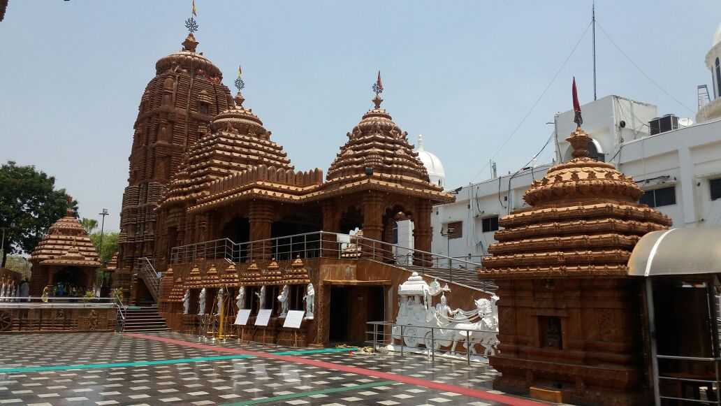
Warangal
Located about 145 km northeast of Hyderabad, Warangal is the second-largest city in Telangana spread over 406 sq km. It served as the capital of the Kakatiya dynasty which was established in 1163. Warangal is also said to be the cultural capital of Telangana with the Kakatiya Kala Thoranam included in the emblem of the state. The three cities Kazipet, Hanamkonda and Warangal are together known as the Warangal Tri-City.
During the Kakatiya rule, Warangal was referred to as Orugallu, Ekasila Nagaram, or Omatikonda all of which meant a single stone referring to a huge granite boulder present in Warangal fort. Warangal was the ancient capital of the Kakatiya dynasty. During the rule of Ganapathideva, the capital was shifted from Hanamkonda to Warangal. When the Kakatiya dynasty was defeated by Delhi Sultanate in 1323, the ruler Juna Khan conquered the city and renamed it Sultanpur. Musunuri Nayaks recaptured Warangal in 1336 and named it Orugallu again. After the demise of the Nayaks, Warangal was part of the Bahmani Sultanate and then the Sultanate of Golconda. Warangal was part of Andhra Pradesh until 2014 when it became part of Telangana.

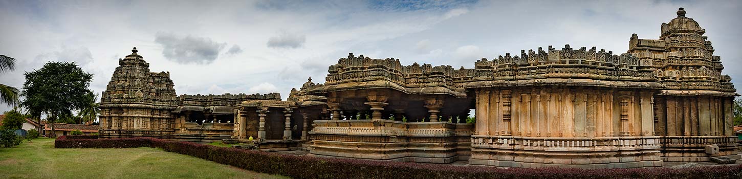
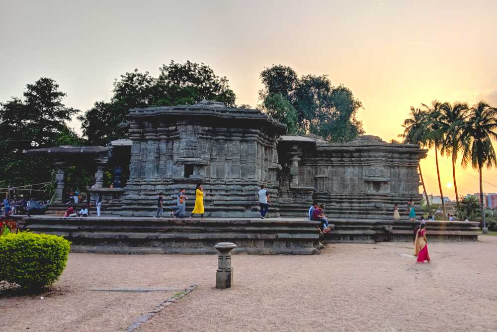
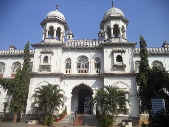
The Thousand Pillar Temple is an ancient temple tucked away in a small town named Hanamakonda. As the name suggests, the temple has over one thousand pillars, some of which are part or extensions of adjacent pillars. These pillars are so tightly knit, they form the walls of the temple. Constructed in a star-shaped style, the temple also contains a huge monolith Nandi or the sacred bull of Lord Shiva, made up of black basalt stone. The three shrines located in the temple are together known as the Trikootalayam. A fine example of Kakatiyan and Chalukyan architecture styles, the three presiding deities in this temple are Lord Shiva, Lord Vishnu and Lord Surya or the Sun God. The temple was built to placate the followers of both the Shaivites and the Vaishnavites. The temple which is built on the slopes of the Hanamaonda hill has a unique star-shaped base which brings to mind the Kakatiya architectural style. The pillars are in perfect symmetry and design with intricate carvings and designs on each pillar. The main shrines have sculptures of rock-cut elephants guarding them on each side, and there are beautiful carvings of the elephants on many pillars too. A six feet tall Nandi, the vehicle of Lord Shiva, made from a single huge black basalt rock, greets devotees at the entrance. The main shrine of the temple is held up by 400 pillars. The temple is built using the sandboxing technique, where a huge pit is dug up and filled with sand and covered with huge rock beams. Then on this strong platform, the base of the structure is made by erecting tall beams and columns. This uniquely Kakatiya invention provides an unshakeable base for the structure and makes it long-standing. The temple is open from 5 am to 9 pm daily.

Located about 77 km from Warangal in the heart of the ancient capital of the Kakatiya dynasty, the Ramappa Temple is dedicated to Lord Shiva and believed to have been constructed over in 1253, forty years after construction began in 1213 by the Kakatiya Chief Commander, General Recherla Rudra Samani during the rule of Ganapati Deva. The temple is an exquisite example of the Kakatiya style of architecture and is covered in detailed carvings depicting life in those times. Also known as the Ramalingeswara temple, it derives its name from the sculptor Ramappa who built the statue of Shiva and started the worship of the deity here. As one enters the temple, they are welcomed by two delicate statues of dancers striking graceful poses. A massive 9 feet Shivalinga is enshrined in the temple and is the main deity with two smaller Shiva shrines found on either side of the main temple, although both are in ruins. The temple has been designed to be elevated above its surroundings on a high star-shaped platform with three entrances to the main sanctum, each of which is flanked by detailed statues and carvings built of sandstone. Three distinct sections, Antaral, Maha Mandap and Garbhagrih together constitute the Ramappa Temple. The walls of the temple are adorned by carvings that are also found on the pillars and ceilings. Lotus motifs, elephants in different poses and images of Gods such as Narasimha and Ganesha embellish the many pillars that hold the ceiling. The roof of the temple is built with ultralight bricks, light enough to float on water. The temple is open between 6 am to 6 pm daily.

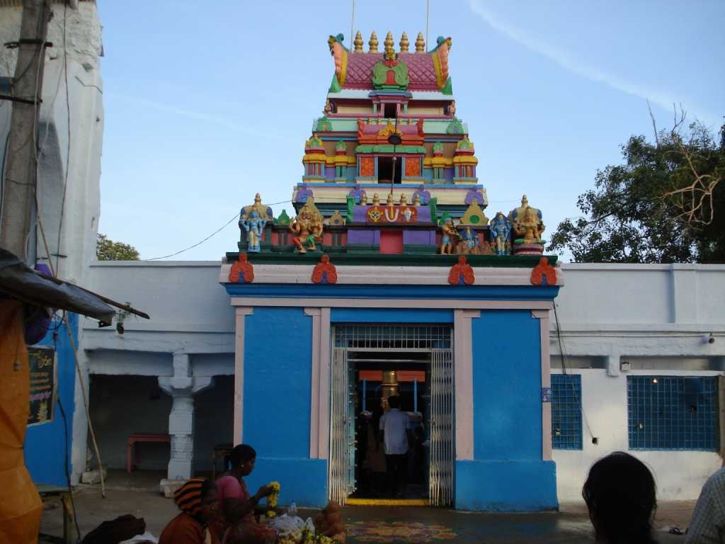
One of the ten manifestations of the Supreme Goddess, the Bhadrakali Temple is an ancient temple dedicated to Goddess Bhadrakali. Constructed in 625 by King Pulakesin II of the Chalukya dynasty to commemorate his conquest of the Vengi region, the temple is set in a beautiful locale with a natural rock formation and a vast lake. Unlike most of the temples of the Goddess and her various manifestations in South India, the deity of this temple does not have a calm and soothing ambience. The temple enshrines the Goddess Kali, the Mother Goddess adorned with weapons in all eight arms with the Goddess in the sitting position with a crown on her head. The temple fell into ruins after the Chalukyas and Kakatiyas but was restored by Sri Ganapati Shastri in the 1950s. It is said that when the holy chants are pronounced with utmost devotion in the temple, it makes the stone deity transform itself to its Tripura Sundari avatar which is the culmination of all the feminine powers of beauty, nature, and fertility and is the foremost face of Adi Shakti in Shaktism faith. The elementary pillars and the Ekanda Shila or the use of a single piece of stone for the main deity reminds one of the Chalukyas, while the intricate carvings are the contribution of the Kakatiyas. The single dark stone has the Goddess seated within the sanctum sanctorum with weapons in her eight hands, the bejewelled crown on her head and a calm and soft look on her face, but with an underlying fieriness. Opposite the Sanctorum or the Garbha Griha is a statue of the Supreme Goddess’ ever-faithful and loyal pet vehicle – the fierce lion. The temple also has shrines of other Gods carved out of stone. The temple is open from 5:30 am to 1 pm and then from 3 to 8 pm.

Dating to the 12th century and dedicated Goddess Padmakshi, the Padmakshi Temple has an exquisite architecture with the Annakonda Pillar, a quadrangular pillar standing at the entrance of the structure that is just as fascinating as the temple.

The Siddeshwara Temple is an ancient temple dedicated to Lord Shiva located close to Hanamkonda with stunning architecture that bears resemblance to the Chalukyan style of architecture. The temple pillars have been intricately carved out. An important Shivaite temple, devotees throng here during the Maha Shivarathri festival.
An ancient temple built around 1104, the Sri Veeranarayana Temple enshrines Shri Veeranarayana, considered to be an incarnation of Lord Vishnu. An important Vaishnava temple, the temple architecture is reminiscent of the Chalukya style of architecture. It is claimed that this was an ancient Jain temple that was later converted to a Hindu temple with beautiful carvings on the walls of the temple.
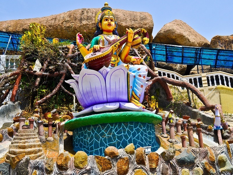
The Sri Vidya Saraswathi Shani Temple complex has shrines dedicated to Goddess Saraswathi, Lord Shani, Lord Ganesha and Lord Shiva. The complex was built by a scholar of astrology and an ardent devotee of the Goddess and has a famous Victory Pillar which bears sculptures of Lord Rama, Goddess Sita, Lord Lakshmana, and Goddess Lakshmi.
An ancient temple dedicated to Mallikarjun Swami believed to be an incarnation of Lord Shiva, the Inavolu Mallanna Temple was built by the Karkatiya Kings in the 11th century. The temple architecture is beautiful with carvings on the pillars and the walls. The annual Mallana Jatra is celebrated with great enthusiasm at the temple.
The Rayaparthy Shiva Temple is an 18th-century temple dedicated to Lord Shiva with beautiful architecture, inscriptions and carvings amidst a scenic location. The Kulpakji Jain Mandir is an ancient temple considered to be of great significance to the Jain community. It is believed that the original idol of Lord Adinath was installed here and the temple complex houses idols of eight Jain Tirthankaras. The stunning temple architecture with stone carvings draws tourists in large numbers.
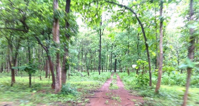
Govindarajan Gutta is a hill surrounded by dense forestation which is a treat for nature walks and trekking with breathtaking views of the city from the top. There is a small temple dedicated to Lord Rama on the hill.
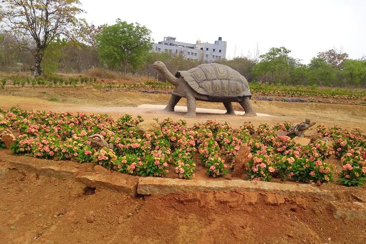
The unique Kakatiya Musical Garden is located close to the Bhadrakali Temple and is a massive garden, covering over 15 acres. A visually pleasing musical fountain with colourful lights is the main attraction as well as a mammoth rock and an artificial waterfall in the rock structure. There is also a man-made lake which has boating facilities. The musical fountain begins at 7pm daily. The Kakatiya Rock Garden is a beautiful garden with many rock structures including statues of deers, lions, giraffes, sambars and antelopes. There is also a children’s playground in the garden.

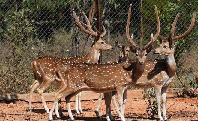
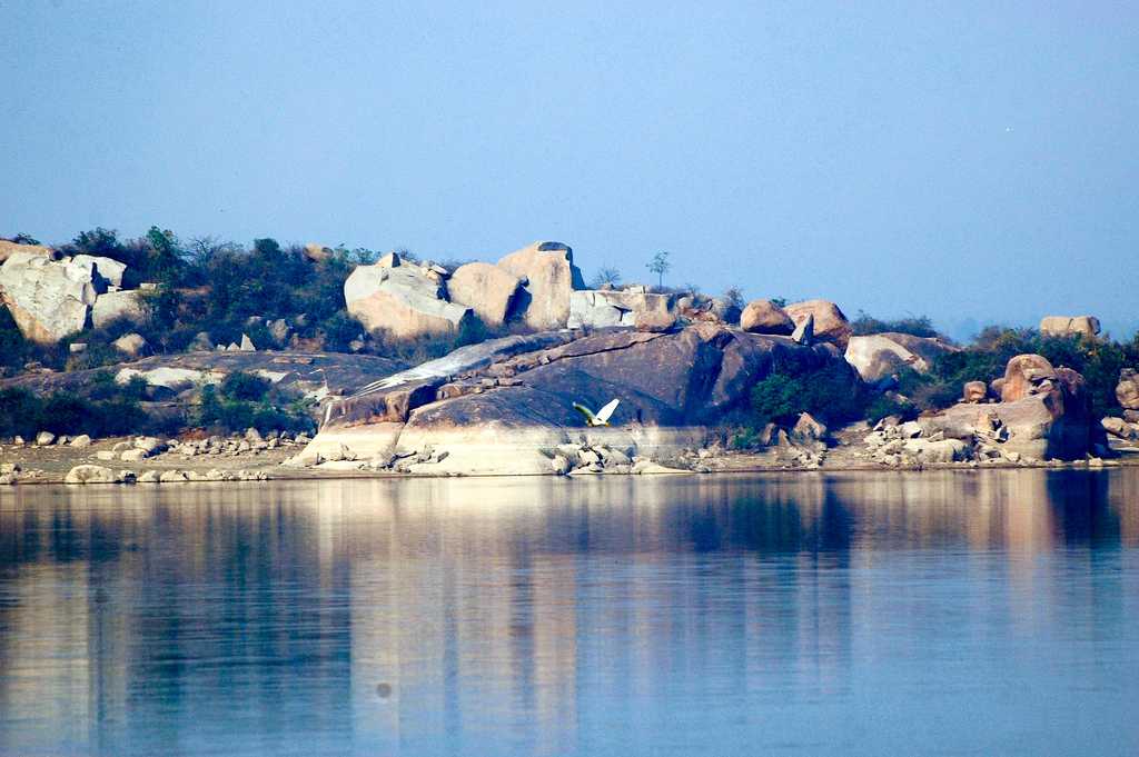
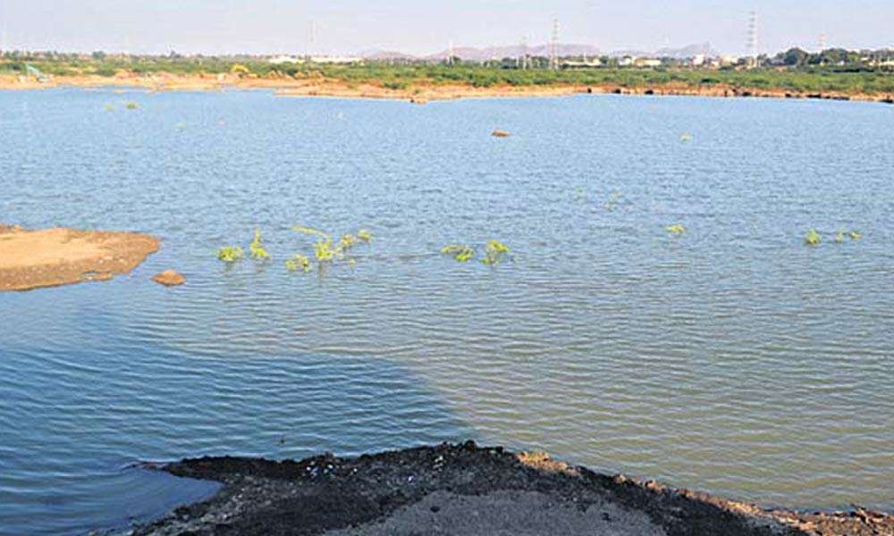
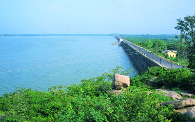
Lying around 50 km from Warangal is the beautiful Pakhal Lake spread over 30 sq km. This man-made lake built during the Kakatiya Dynasty by King Ganapati Deva in 1213 is set amidst lush green forests and hills and borders a wildlife sanctuary, the Pakhal Wildlife Sanctuary, established in 1952. The Pakhal Wildlife Sanctuary is spread over 839 sq km and consists of rare flora and fauna including leopards, wild boars, panthers, hyenas, cobras and monitor lizards and various kinds of herbs, shrubs, and climbers. A local favourite picnic spot, the lake and the sanctuary is beautiful making it perfect to take photographs. There is also boating available in the lake. The lake is open between 6 am and 6 pm daily.

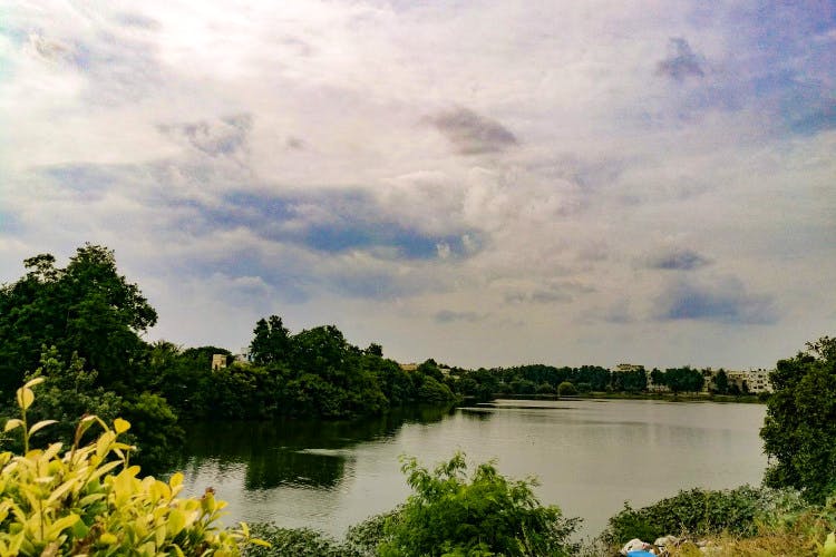
Laknavaram Cheruvu or Laknavaram Lake is another man-made tucked away in Govindaraopet, 80 km from Warangal straddling an area of 10,000 acres. Built by the Kakatiya kings when Warangal was their capital, the lake has 13 small islands spread within the lake and three 160-meter-long individual suspension bridges that connect 3 islands with each other and to the main shore. Enjoy boating at the lake with a variety of boats like pontoon boats, deluxe boats, motorboats and speed boats.
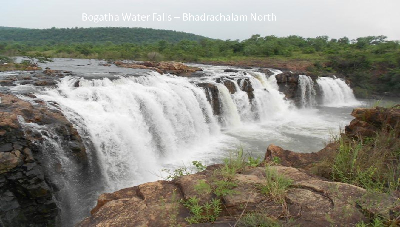
Located about 70 km from Laknavaram Lake, the Bogatha Waterfalls are in the heart of a forest and are said to be the second-largest waterfalls in the state. Colloquially called as the Telangana Niagara, the falls experience water flow throughout the year and usually cascades down in 3 to 4 white ribbons along with several smaller streams and are best enjoyed in the months of June to November when the waterfall is in its glory. There is an unmotorable stretch of rocky terrain on the road just before the waterfall, so the waterfall can be accessed by a short trek. Swimming is permitted in the underlying pond in a separate safe zone away from the waterfall.
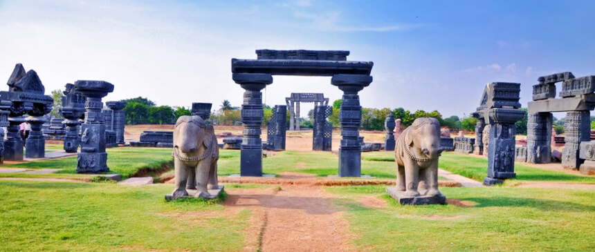
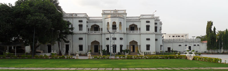
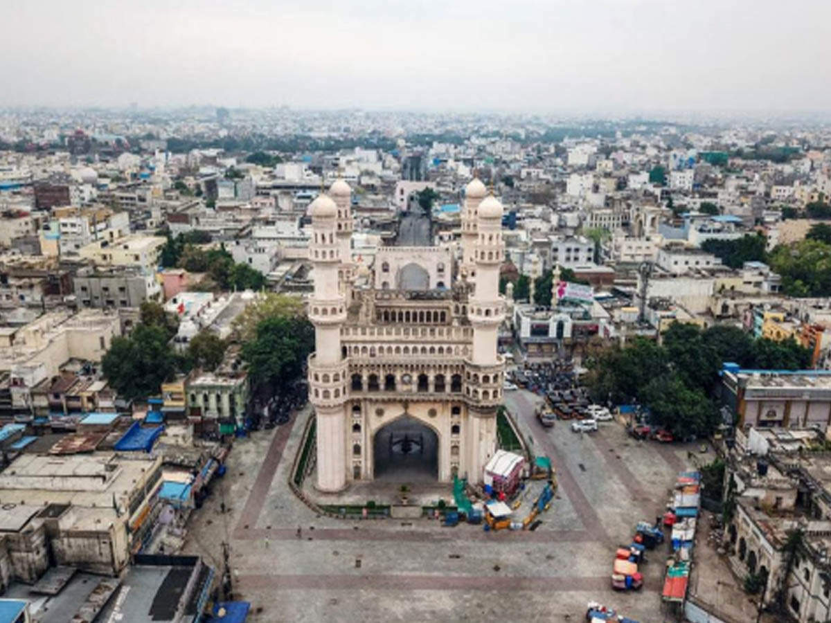
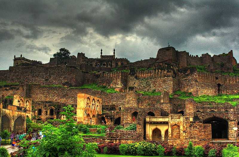
A prominent landmark in the city, the Warangal Fort is located between Warangal & Hanamkonda. This 12th-century fort’s main highlights are the four ornamental gates, which are now the official emblem of the state. In ruins today, the fort still reflects the history, grandeur and architectural pre-eminence of the Kakatiya dynasty. The fort was built by the Kakatiya ruler, Ganapatideva, and after he died in 1262, his daughter Rudrama Devi took over the charge of the construction of the fort and then the kingdom. However, it was King Prataparudra II, also known as Rudradeva II and the last ruler of the dynasty who finished the fort’s construction. The fort flaunted 45 grand pillars flanked by intricate carvings. The Gateway of Glory, the main gateway was built of four elaborately carved pillars constructed out of a single rock, around 30 feet in height. These majestic gateways were also known as Kirti Toranas and stood as a symbol of the South Indian architectural style. Inside the fort is the remnants of the Swayambhudevi Alayam temple of the Temple of Mother Earth, built by the Qutub Shahi kings, after conquering the fort. The Swayambhu Devalayam, a temple dedicated to Lord Shiva built-in 1162 is located in the middle of the fort and is flanked by awe-inspiring sculptures. The fort also houses another Shiva temple, the Shambhulingeshwara Temple, located opposite to the open-air museum with a huge statue of a Nandi bull facing the temple with the space between the Nandi and the temple used as a platform for artists. Most of the sculptures carved on the pillars of this fort follow a similar pattern, with each stone divided into different sections, and each section flaunting beautiful sculptures such as a lion, elephant, statues of dancers etc. The fort is built as a 3-layered fortification and was protected by three circular walls, with the first wall built during the rule of Rudrama Devi. There is a light and sound show daily with the first show in Telugu between 6:30 and 7:20 pm and the second show in English from 7:30 to 8:20 pm with tickets costing INR 40 for adults and INR 20 for children. The fort is open daily from 10 am to 7 pm and entrance fees are INR 15 for Indians, INR 200 for foreigners and a video camera fee of INR 25.

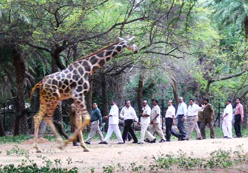
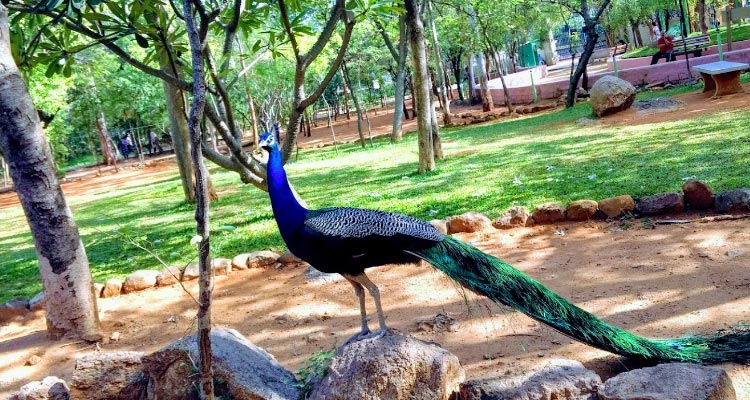
The Mini Zoo was built in 1985 and is spread over 50 acres with a number of species of animals, reptiles and birds. The zoo has now been converted into a National Zoological Park and also houses an enchanting Butterfly Park.
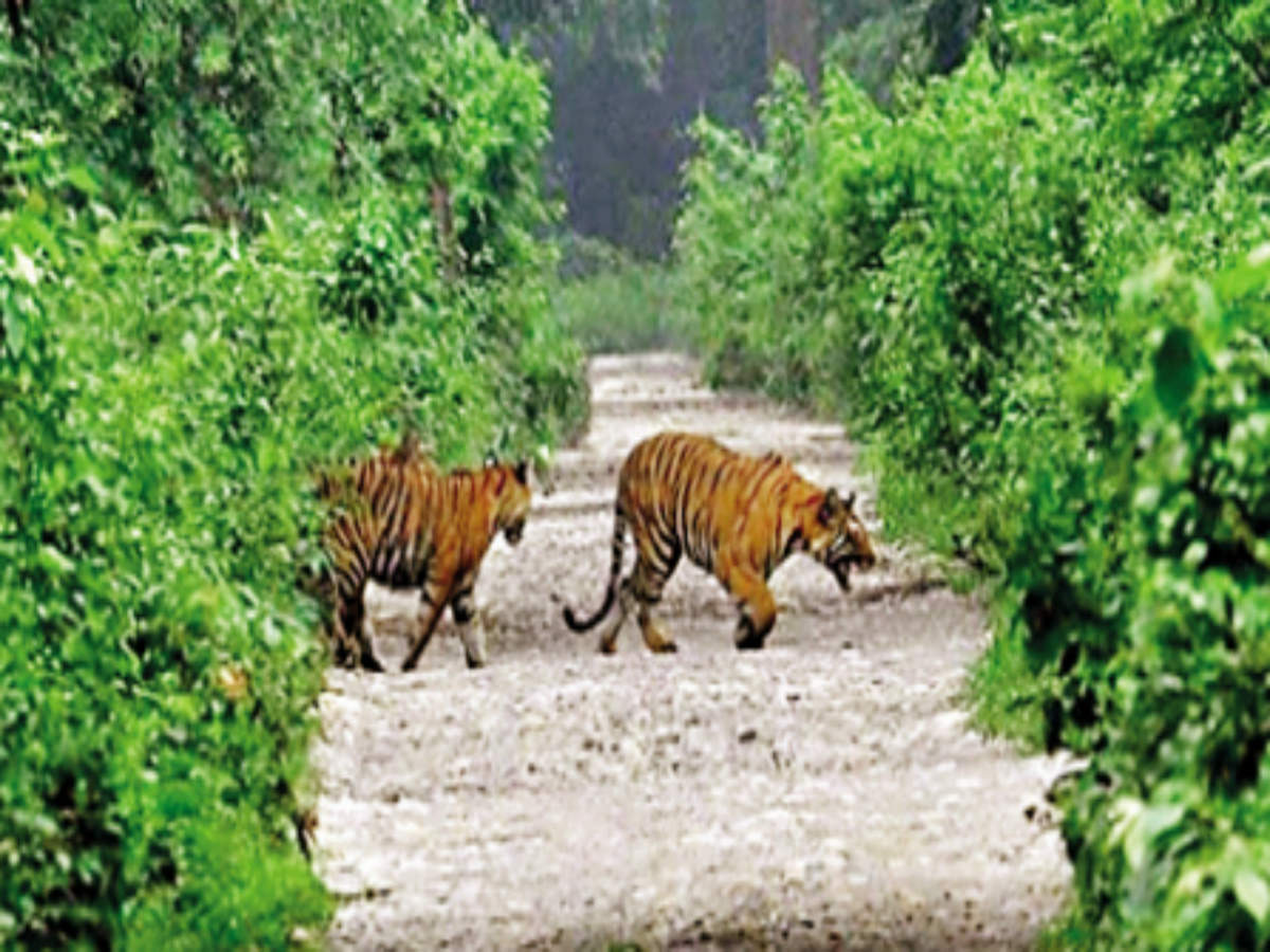
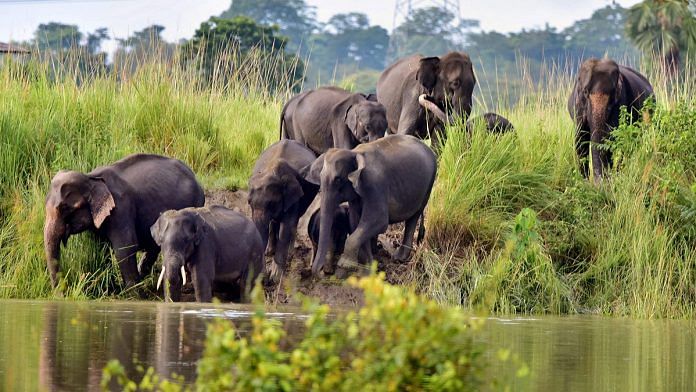
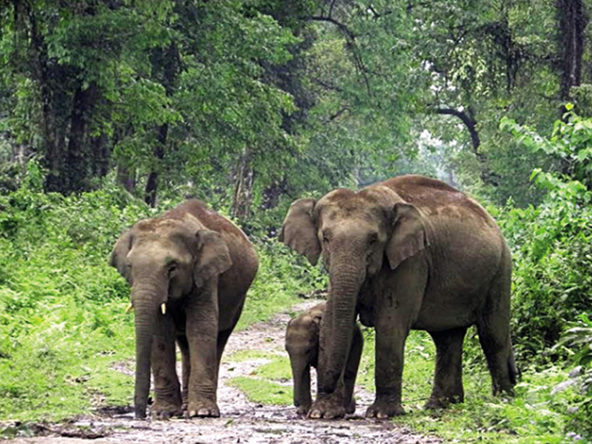
One of the oldest wildlife sanctuaries in Telangana, the Eturnagaram Wildlife Sanctuary is located about 110 km northeast of Warangal and was declared as a wildlife sanctuary in 1953. The Dayyum Vagu River flows through the sanctuary which has some steppes and gentle slopes. The park has a historical significance due to the existence of tree fossils in caves and in the Sarvai area. Spread over 806 sq km and believed to be one of the rarest eco-regions around the world, three-quarters of the sanctuary is covered in rising and falling plains and dense forest formation while the remaining quarter comprises springs and streams. The sanctuary is also very famous for the largest tribal Jatra of Asia known as the Sammakkka Sarakka Jathra which takes place once every two years. The wildlife sanctuary is dense with wealthy biodiversity rich in both flora and fauna with ephemeral teak wood, and many exotic and rare wild animals. The sanctuary is also known for it being able to accommodate the biggest population of gaurs also known as the Indian bovid in the state. October to May is the best time to visit the sanctuary which has provisions for cottages and rest houses that will allow visitors to live amidst the wilderness. The sanctuary is open between 8 am to 5:30 pm and entry fees are INR 10 for an adult and INR 5 for a child and there are boating packages available in the sanctuary.

Medaram is a tiny village of approximately 3000 people and is well known for its Sammakka Sarakka Jatara, Asia’s biggest biennial tribal fair. This three-day festival begins on a full moon day, also called the Shuddha Purnima day and dates back to when a fierce conflict took place between two tribes, the Koyas and the Kakatiyas. A woman called Sammakka, who belonged to the Koya tribe, fought for her tribe and resisted oppression and suppression by the Kakatiyas. Sammakka was hailed as a goddess and Sarakka was Sammakka’ s daughter. This festival is celebrated to commemorate their sacrifice for their people. The Jatara is a 1000-year-old landmark festival and is a peek into the tribal culture of Medaram. Important places to visit in Medaram include the Jampanna Vagu, which is a water pass that flows through the forest region and taking a dip in this water pass is considered holy. The Sammakka temple is devoted to the tribal goddess also known as Saralamma. The Laknavaram Lake and the Ramappa temple are also located nearby.

Nizamabad
175 km north of the capital city of Hyderabad, Nizamabad is the third-largest city in the state and a major urban agglomeration. Derived from the Nizam of Hyderabad, where Nizam means the Asaf Jahi VI who ruled during the 18th century and was the second Nizam of Hyderabad. The city is also known as the city of the Nizams. The city was founded in 1905 when the Nizam’s dominion was recognized, previously it used to be known as Indur after King Indradatta who ruled this region during the 5th century.
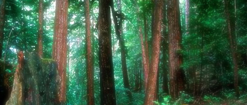
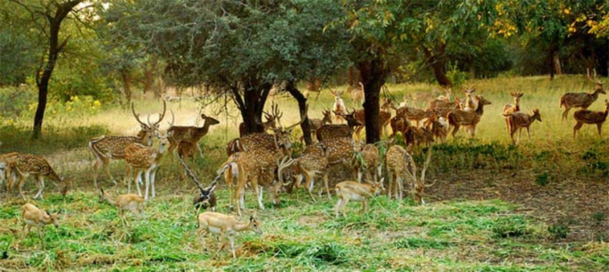
The Mallaram Forests are a lush green environment located about 7 km southwest of Nizamabad with rocks that are about a billion years old. Forest treks, pagodas, viewpoints to watch the wild animals and moonlit dinners are the main attractions of this place and the breathtaking views from the hillocks will surely leave one reluctant to leave the forest. Also located 7 km southwest of Nizamabad, the Nizamsagar dam is constructed on the River Manjira, a major tributary of the Godavari River. With exquisite gardens on either side of the dam and cosy accommodation facilities, one can spend an entire day here and a slow boat ride on the serene water is truly a liberating experience. The perfect picnic getaway, Alisagar, is located about 13 km from Nizamabad. A sprawling 33 acres garden, complete with flora, a deer park and a lake, Alisagar, built by the Nizam of Hyderabad and is close to the Nizamabad fort, built by the Rashtrakutas of the 10th century. On top, there is a Quilla temple also built by the kings of the Rashtrakuta dynasty during the 10th century. While the Kalyani Chalukyas added Hindu elements to the temple, the Kakatiya rulers restored the temple. Ashoksagar is famous for its rock gardens is located about 7 km from Nizamabad. There is a fifteen feet tall statue of Goddess Saraswati, erected in the middle of the lake, which is a spectacular sight in the moonlit as well as a well-kept children’s park. The Neelakanteshwara temple is a classic example of Jain, Vaishnavaite and Shivaite architecture styles built around 10 AD by the Satavahana king Satakarni and an important shrine for Jains and is located on top of a hillock. Atop the Limadri Gutta is the temple dedicated to Lord Sri Narasimha Swamy Temple. Built by the Kalyani Chalukyas, the Sri Chakreshwara Temple is a famous Shiva temple. The Hanuman temple in Sarangapur village is said to have its foundation laid by the saint Samartha Ramdas, the Guru of the Maratha King Chatrapathi Shivaji about 450 years back and is famous for its Ramnavam festival.


