
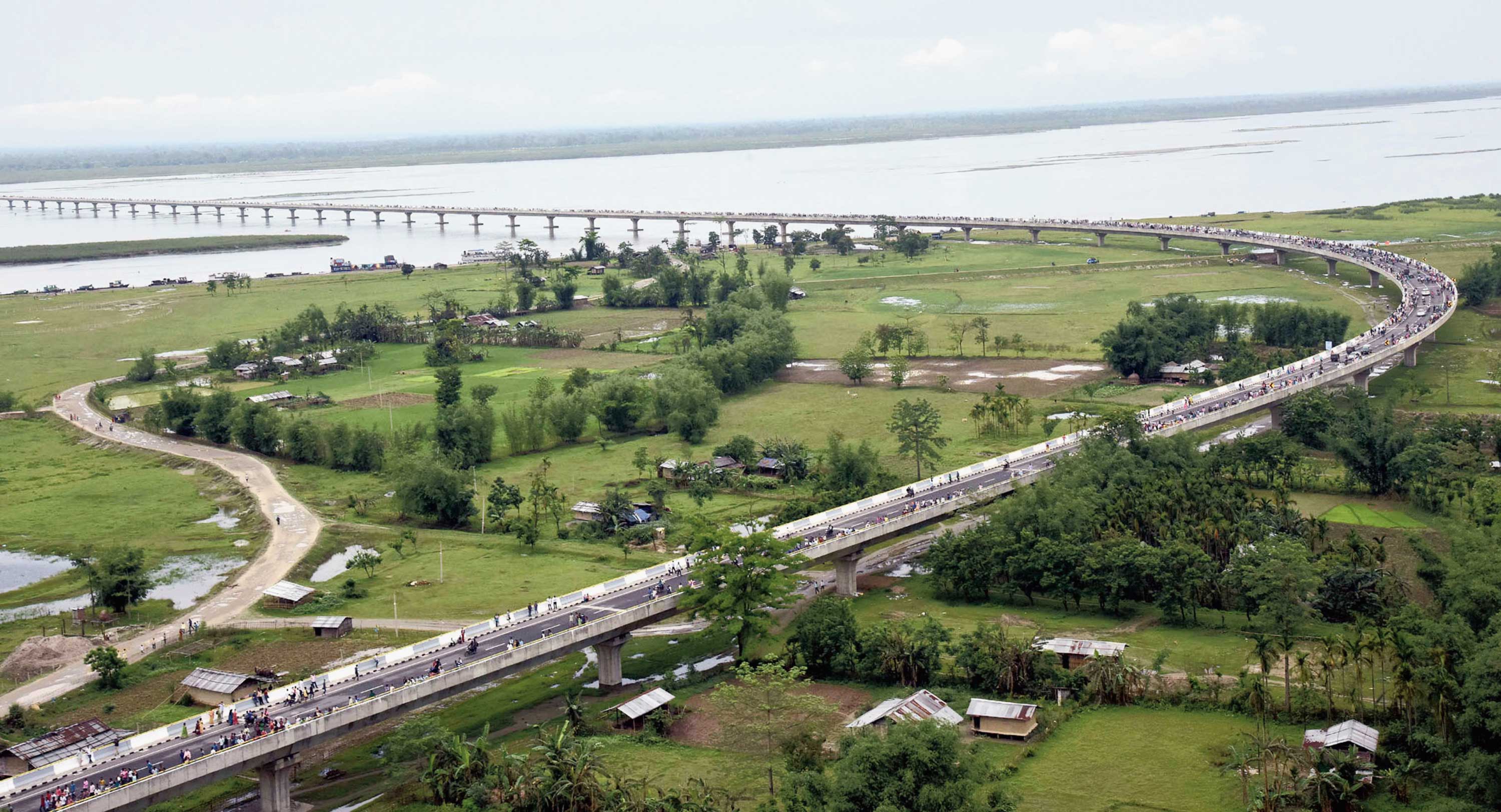
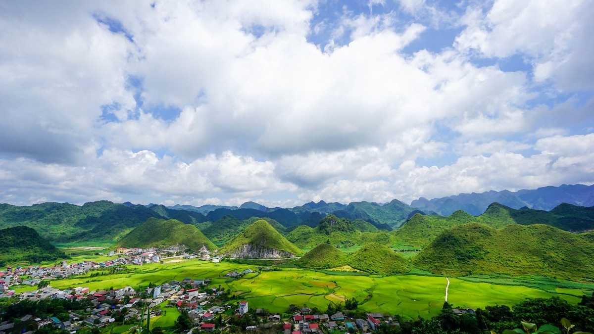
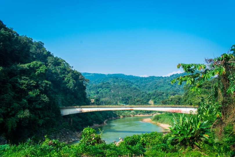
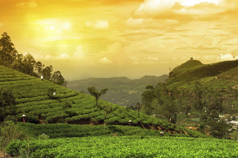
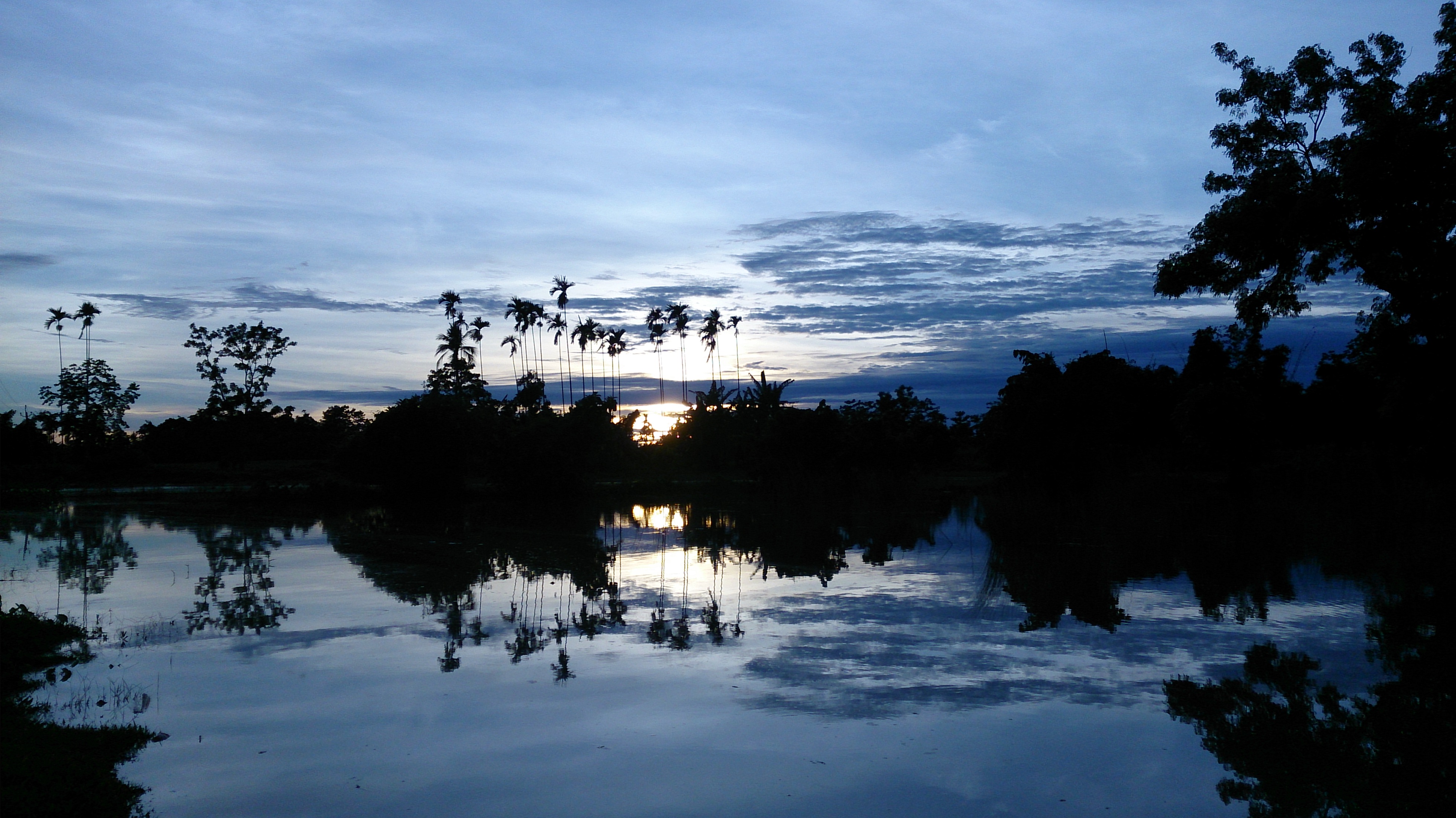
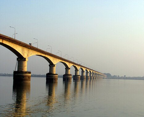
Sadiya
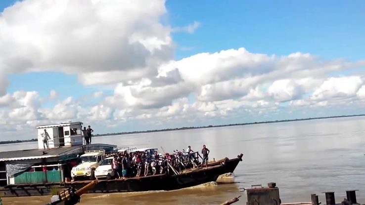
A former capital of the Chutia Kingdom, Sadiya lies in the foothills of the Himalayas, not too far from the state’s border with Arunachal Pradesh. After the downfall of the Chutia Kingdom, it became the seat of the Sadiya-Khowa-Gohain of the Ahom kingdom and extensive remains of buildings and fortifications built during the rule of the Chutias near Sadiya still point to the importance of the region in the past. It was the centre of development of the eastern form of Prakrit during both the Chutia and Ahom periods, which later gave rise to the modern form of Assamese. Sadiya, which lies 67 km north of Digboi and 552 km northeast of Guwahati, stands on a grassy plain, almost surrounded by forested Himalayan mountains, on the right bank of Lohit River which is locally, but erroneously, considered the main stream of the Brahmaputra river. The town is famous for a flower named Satphul, which means a blessing or a desert flower, similar to jasmine. The word Sadiya is derived from the Deori language and it stands for the land of the rising sun where Sa or Xa means Sun, Di stands for water and Ya means land.

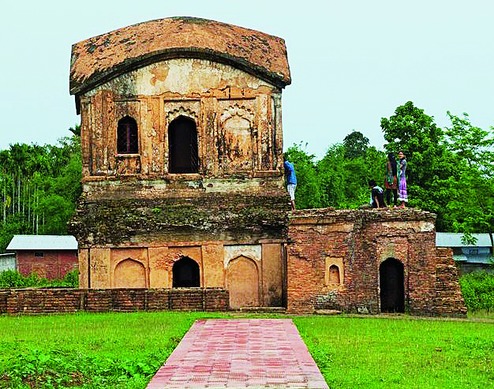
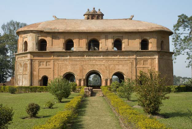
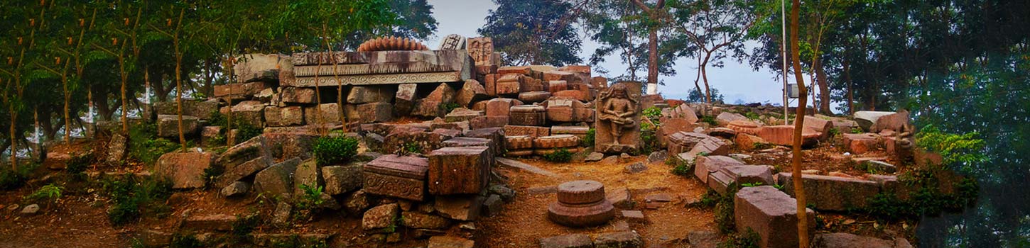
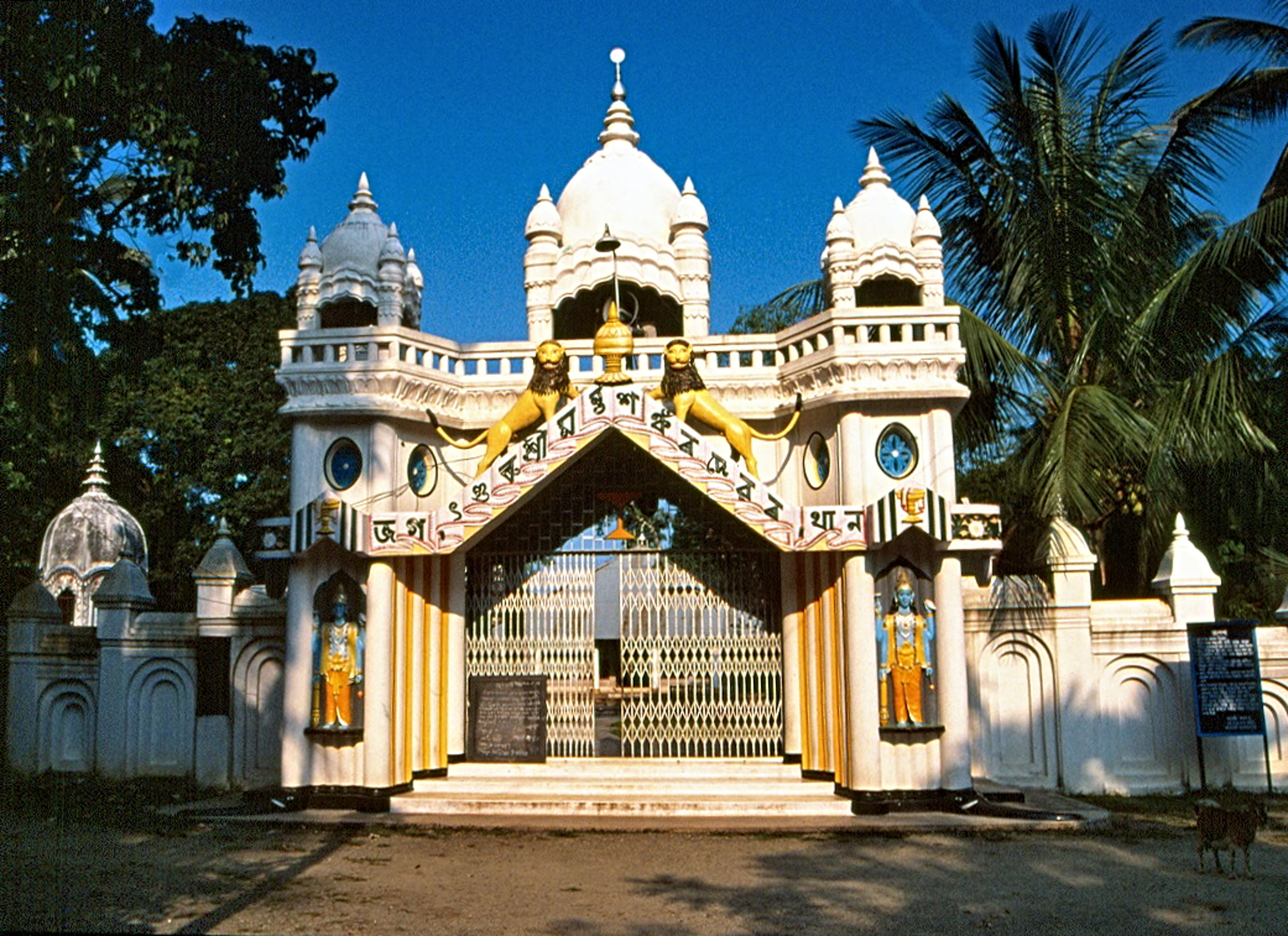
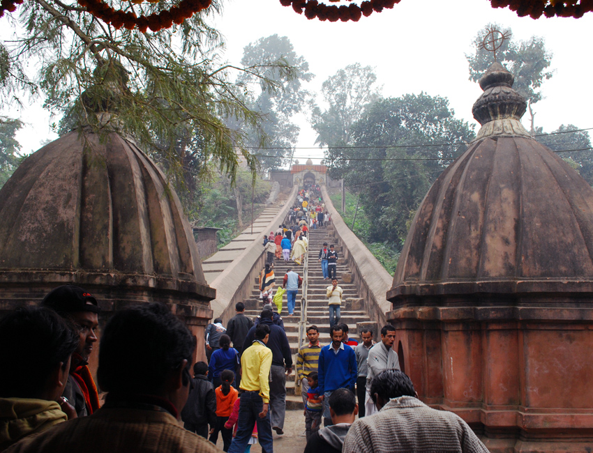
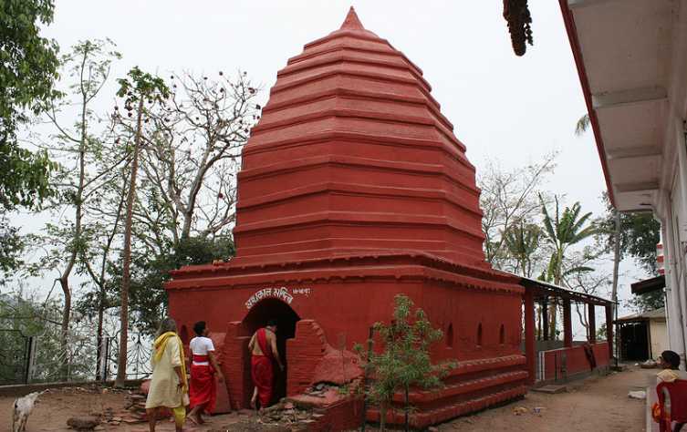
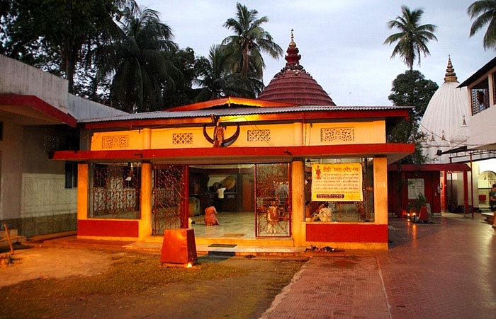
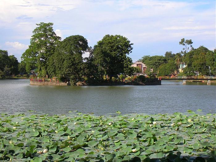
The Tameshwari Temple is what Sadiya is mainly famous for. A Shakti temple that can be accessed by taking ferry rides from the Dhola Ghat, it is also an important archaeologists site. The roof of the temple is made entirely of copper or tam in Assamese, hence the temple’s name. The most notable among the temples built by Chutia kings, the temple was dedicated to Kechaikhati, a primordial female tribal deity of the Chutiyas later Sankritised as Tamreswari. As per the Kalika Purana, the main temple was an octagonal structure surrounded by eight dwarapals or guards in eight directions. When the Britishers visited the temple complex, the main temples has disappeared and only a small square structure remained. The wall and doors of the temple were well designed and there were two giant elephant sculptures with silver tusks at the main door of the complex. The walls were made without any mortar and instead used iron dowels and brackets. The temple was surrounded by brick walls and on the western wall, there was a place for human sacrifice. Although the temple is now completely submerged under marshy lands due to silt deposition, in 1959 it showed that the main statues of the temple were built of sandstone and granite. The roof of the temple was originally sheeted with copper but in 1848, the copper roof was already removed. In the floods of 1959, due to the deposit of silt in the banks of the Paya river, the structure was completely submerged in the waters.
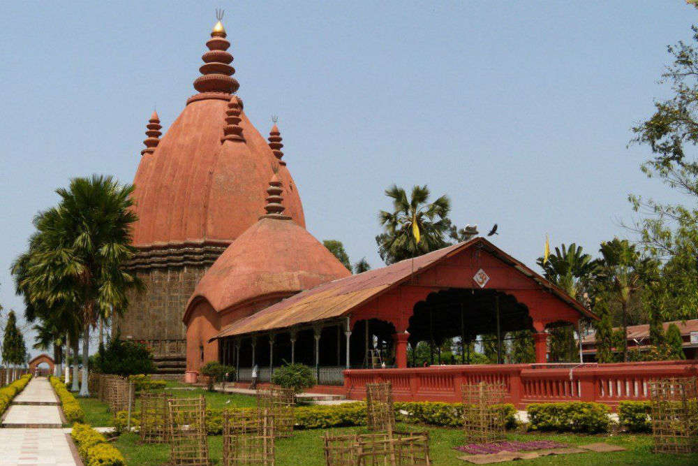
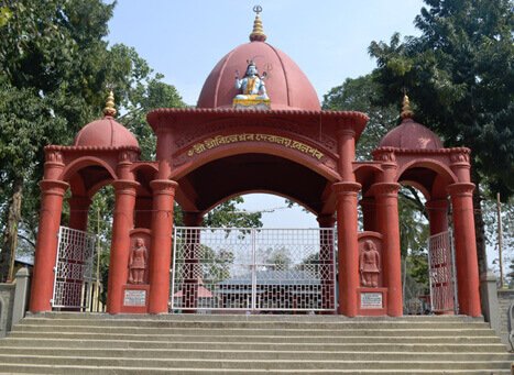
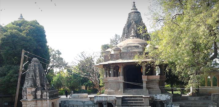
There are many other Shaivik temples where Deori tribes used to worship in ancient times. The two major ones are the Burha-Burhi Thaan and the Boiragi Thaan. Also built by the Chutia kings, Bura-Buri Than was dedicated to the primordial parents Gira-Girasi or Bura Buri, which were later Sanskritised as Shiva and Sakti. Although the structure has fallen due to natural calamities, the base remains intact upon which a new temple has been built. The foundation is an octagonal shaped base made of stone with each edge spanning 3.4 m in length. The temple was built using granite stone and fixed using iron dowels and brackets similar to the ones used in the Malini Than and the Tamreswari temples and was surrounded by a wall built using bricks.

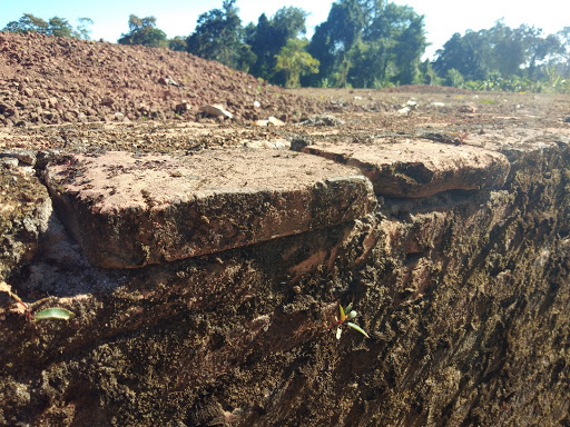
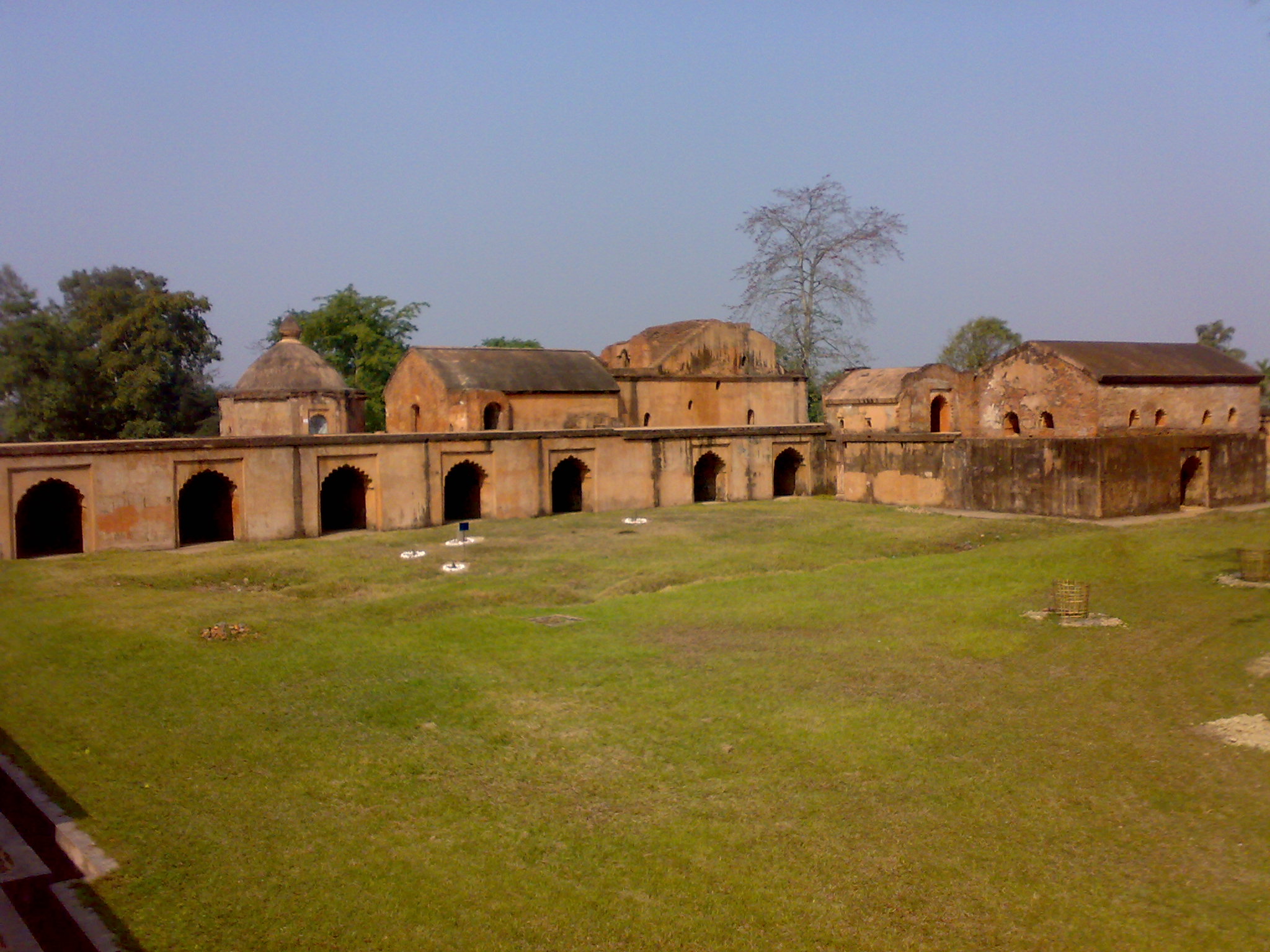
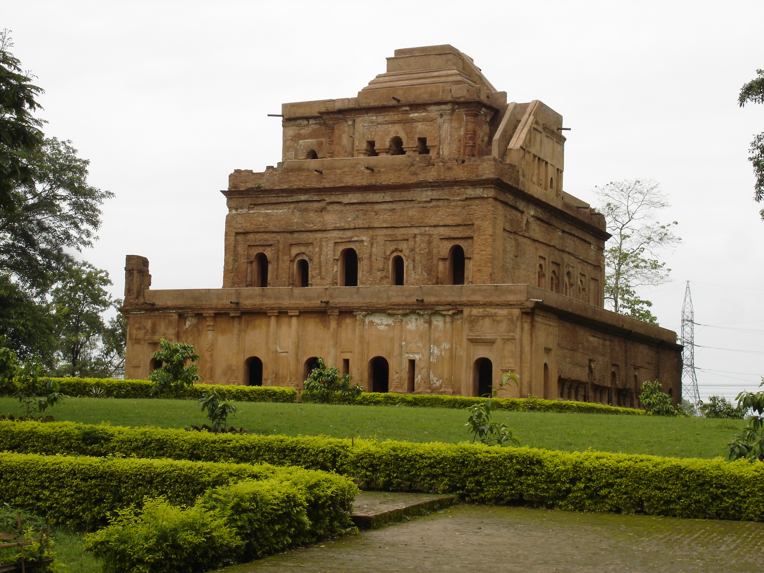
The Bhismaknagar fort, further east of Sadiya, is tentatively dated to the 8th century. Based on the inscription , it is assumed to be the capital of Chutiya king Laksminarayaṇa of the early 15th century. The fort located in Roing is an important monument built by Chutia kings with the walls of the fort spread over 10 sq km. The name was probably derived from Bhismaka, the Hindu monument constructed for the royal lineage of the Chutias during the Neo-Vaishnava movement in the 16th and 17th centuries. A brick with the name Lakshminarayan indicates that the fort was repaired during the 15th century. The Bhismaknagar central complex extended over an area of 1860 sq m and has three halls, six ingresses and two extension rooms as well as a two-meter high stone wall inside the complex with a medieval architecture. While quarrying in the fort, enormous pieces of work of art like potteries, terracotta figurines, terracotta plaques and decorative tiles were recovered. Fabricated from the burnt bricks gave this fort an impressive and remarkable top view.
In the hills north of Roing lie scattered some old brick structures, mainly between the Chidu and Chimri villages situated at an altitude of about 305 m. The local people, the Idus called these structures Rukmini Nati where nati is the Idu word for bricks. Excavations of the two mounds at Chimri, unearthed two rooms, built on a slope, at a distance of 14 m from each other. The contents dug out from inside the walls of the rooms were of river-borne materials, which suggests that they were destroyed by floods. There is evidence of the extension to this area being of the same culture as that of Bhismaknagar. Another archaeological site called Duku Limbo lies on the left bank of the Dibang at the foot of Elopa hill with brickbats found at this site suggest that the Brismaknagar culture had extended to this point.

Tezu Fort is an old mud fort in the Tindolong area, 6 km from Tezu, which was explored in 1972. The area of the fort, enclosed by earthen ramparts is square with the rampart 8 ft high, and equally broad at the top with sloping sides. On both the inner and outer sides of the rampart run two ditches about 6 m wide. There is a prominent mound, circular and about 3 m in height, almost at the centre of the enclosure which appears to be a cavalier for lookout purposes. The complex seems to represent a defensive mud-fort or redoubt of a modest dimension suitable for a small band of soldiers to maintain vigilance against the enemies from their hide-outs inside the jungle especially in guerilla warfare, the normal practice in the region. The fort has been assigned roughly to a period about the 14th to 15th centuries.

Haflong
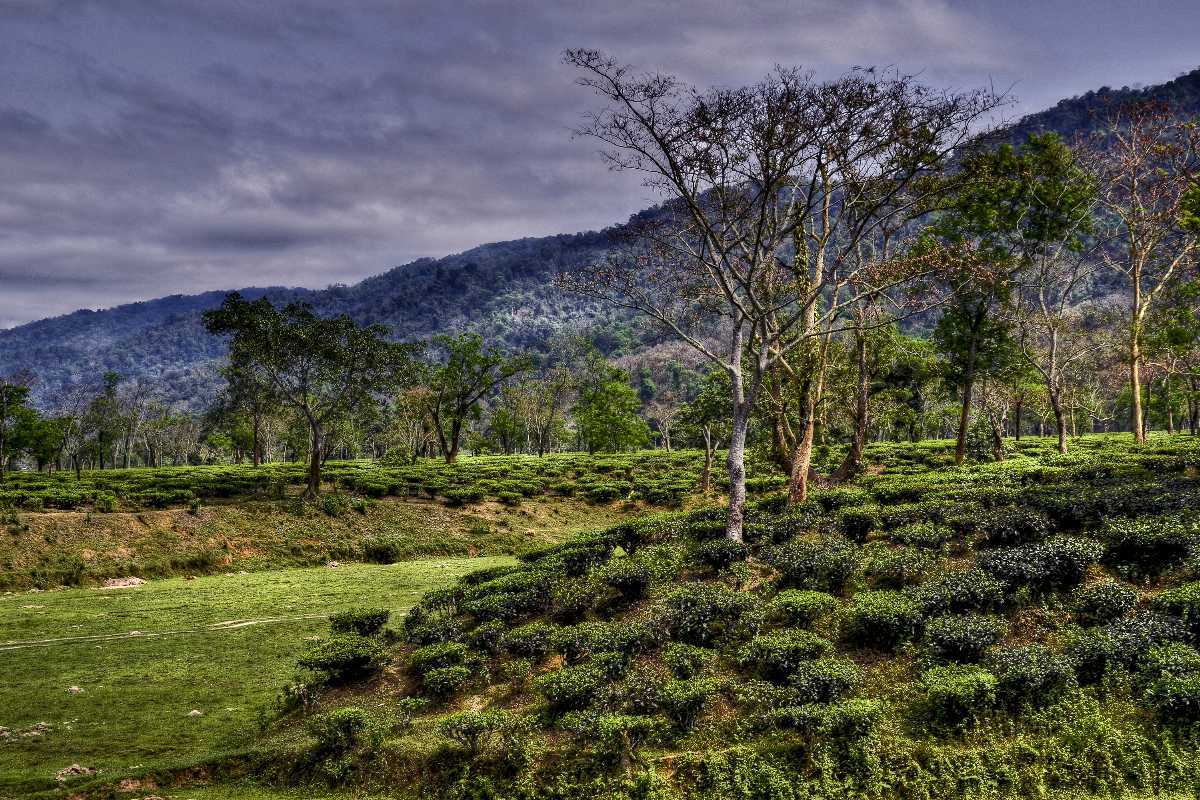
Our next destination Haflong is Assam’s only hills station which lies 577 km south of Sadiya and about 280 km southeast of Guwahati. Haflong is a Dimasa word that means an anthill. Haflong produces fruits like pineapples and oranges and like other hill stations in India, Haflong’s architecture reflects its British colonial past.
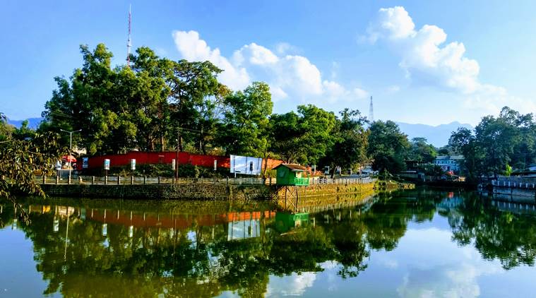
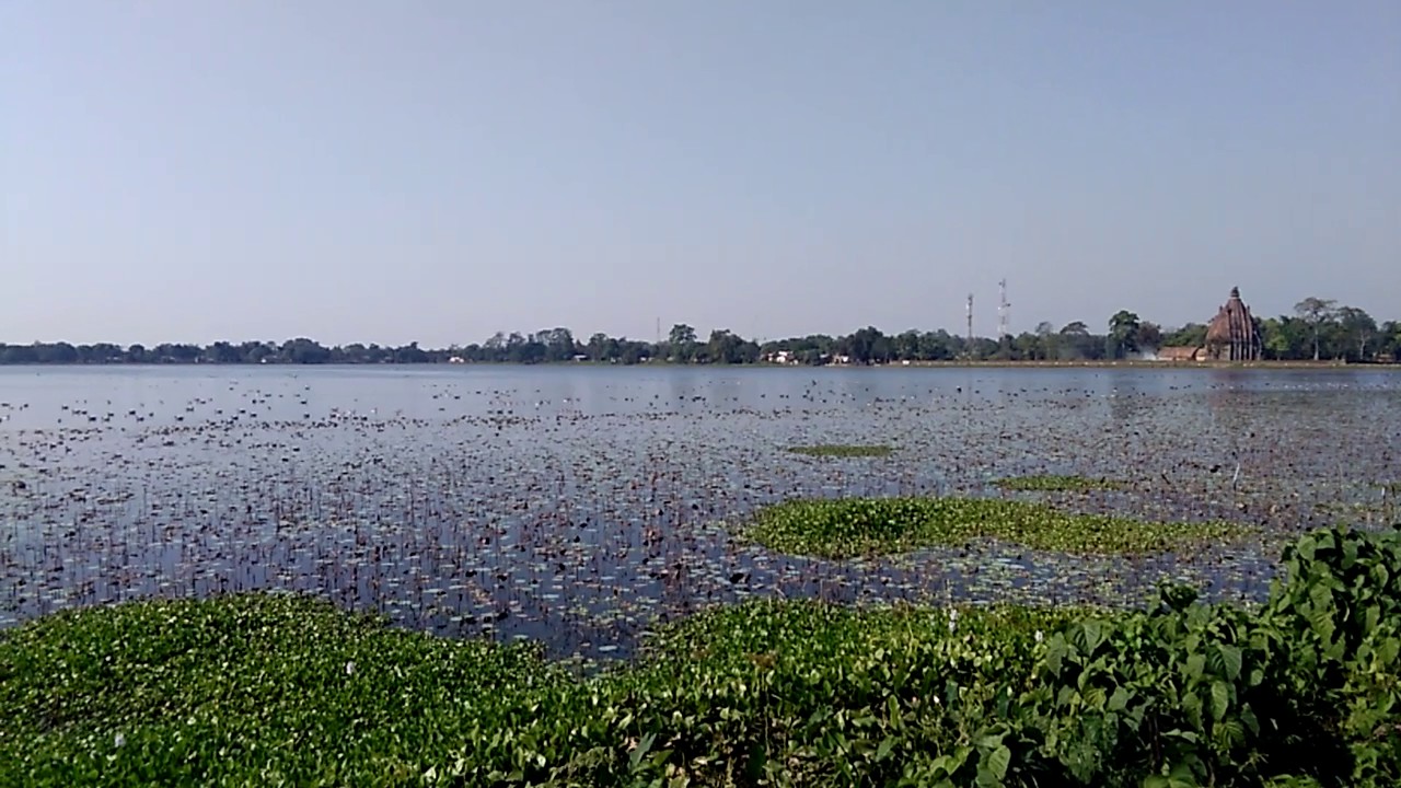
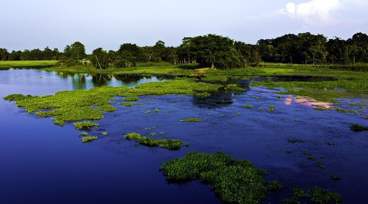
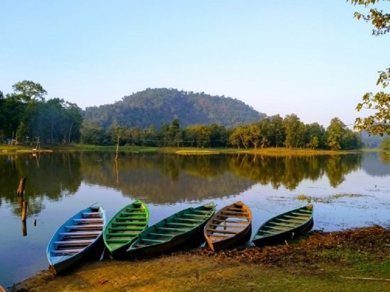
Haflong Lake is one of the largest natural water bodies in Assam and is situated in the heart of the town and is also Haflong’s most popular tourist spot with the lake providing majestic views of the Himalayas and offers opportunities to engage in boating. Another major attraction is Haflong Hill which is popular for trekking and hiking. The scenic view of the adjacent mountains and the lush forests makes it worth visiting. The Chavang Kut, a harvest festival is celebrated in Haflong every day in November. Situated 47 km from Haflong, Maibong is located on the bank of the Mahur River and was the ancient capital of the Dimasa Kachari Kingdom which existed from the 16th to the 18th centuries. Maibong still contains the ruins of the once flourishing capital of the kingdom and visitors will find the remains of a stone house and a temple of the Kachari kings. The monolithic Ramchandi temple of the Kachari kings, built in the 12th century is also famous.
Jatinga
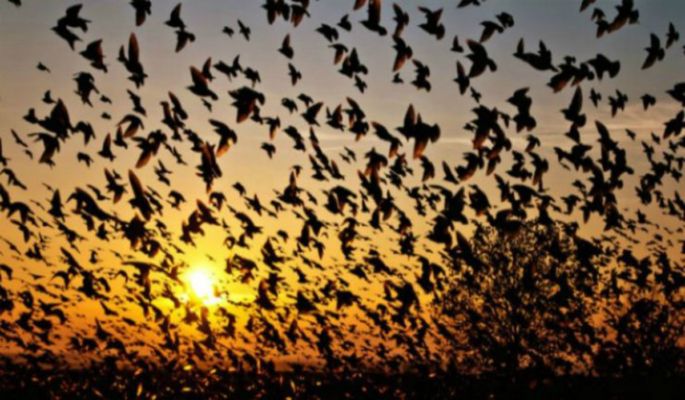
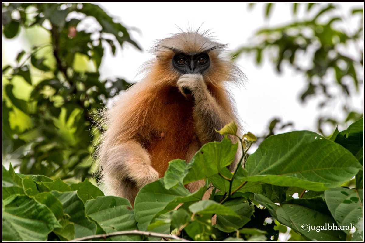
Jatinga located about 5 km south of Haflong and 328 km southeast of Guwahati is a village on a ridge, inhabited by about 2,500 Khasi-Pnar people and a few Assamese. It is famous for the phenomenon of bird suicides. At the end of the monsoon months, between August to November, especially on moonless and foggy nights between 6 and 9:30 pm, birds that are not disturbed by the locals but out of the dark northern skies will start to descend as they are attracted to lights. These dazed birds are captured using bamboo poles by the locals. The local tribals first took this natural phenomenon to be spirits flying from the sky to terrorise them with the phenomenon not confined to a single species, with the tiger bittern, black bittern, little egret, pond heron, Indian pitta, and kingfishers all being affected, as well as hill partridge, green pigeons, emerald doves, necklaced laughing thrushes and black drongos with the birds mostly juvenile. Experts believe the cause likely to be disorientation at high altitudes and high-speed winds due to the widespread fog at the time. The birds, mostly juveniles and local migrants, are disturbed by high-velocity winds at their roost and when the disturbed birds fly towards lights as refuge they are hit with bamboo poles and killed or injured. The killings, as well as the number of birds arriving at the village, has been declining gradually since the last few years with much of this due to the loss of habitat caused by development and environmental degradation.
Diphu
The headquarter of Karbi Anglong district Diphu lies 150 km north of Jatinga and about 250 km east of Guwahati. Known as a mini hill station, it is a popular weekend getaway. The word Diphu comes from the Dimasa language, which means white water where Di means water and Phu means white. Historically, it is said that the stream in Diphu carries large amounts of sediment during the rainy season, giving it a whitish colour, hence its name. Diphu is home to many indigenous communities of Assam including the Karbis, the Dimasa Kacharis, the Boro Kacharis, the Garo Kacharis, the Rengmas and the Tiwa Kacharis.

The Arboretum Cum Craft Centre is located around 8 km from central Diphu and is a planned complex consisting of a park, a garden and a craft and exhibition centre. The garden is well maintained throughout the year and has a variety of annual and seasonal flowers on display throughout the year. There is also a small park area for children to play in. The Arboretum Cum Craft Centre also houses an open-air stage where events can take place as well as an indoor hall where smaller events or exhibitions can be organised. The traditional exhibit store is from where one can buy clothes and souvenirs from the region. The centre is open daily between 6 am and 7 pm.
5 km from Diphu town towards the Marat Longri Sanctuary, the Botanical Garden is a well-maintained garden with flowers, trees and plants native to the district and Assam grown including many medicinal herbs and plants. There is a semi-natural water body also part of the complex which is suitable for boating. The park also has replicas of traditional Karbi homes on display and there is a cafeteria inside which caters for food and refreshments. The park is open daily between 9 am and 5 pm and has an entry fee of INR 10 per person.

Located at a distance of around 4 km from Diphu, Singhason is the highest peak in the district and an excellent spot for hiking and trekking. From the top, beautiful panoramic views of the surrounding Brahmaputra valley and the distant white peaks of the Himalayas can be seen with sunrises and sunsets, highly recommended when the weather is suitable.

The Marat Longri Wildlife Sanctuary, located around 10 km from Diphu, is a protected reserve that is a part of the greater Dhansiri-Lunging Elephant Reserve. Spread over an area of approximately 451 sq km, this reserve was declared a wildlife sanctuary in 2003. Although it is relatively underdeveloped, it is home to many important faunas of the region, including the Royal Bengal Tiger, the Asiatic Elephant, the Himalayan Black Bear and the Hoolock Gibbon. The best time to visit the sanctuary is between November and March which is the winter months with cool temperatures and minimal humidity.

Established in 1886, the District Museum houses many regional archaeological artefacts with the collection including those of handicrafts, hunting and house tools, ornaments, textiles, and traditional instruments that reflect the culture and lifestyle of the various indigenous communities of the region. A brilliant image of Lord Narasimha is also on permanent display within the museum.

Karimganj
Located close to India’s border with Bangladesh, Karimganj lies about 330 km south of Mayong and Guwahati. It makes up the Barak Valley alongside Hailakandi and Cachar and was previously part of the Sylhet district which is in Bangladesh today before India’s partition of India. During the partition, a plebiscite was held to decide whether the Sylhet region covering the entire Sylhet, Moulovi Bazaar, Karimganj would remain in India or join the newly formed Pakistan. A delegation led by Abdul Matlib Mazumdar went to the Radcliffe Commission to plead their case to let the greater Sylhet region remain with India, but due to the demands of the Muslim League, a plebiscite was held where the Sylhet region, including Karimganj, voted to go with Pakistan, winning by a very small margin. Sylhet was made part of East Pakistan with Karimganj being divided and handed over to India with the reason being to let India have proper connectivity with Tripura. The Kushiyara River was made the river border between India & East Pakistan, now Bangladesh. Parts of Karimganj including Beani-Bazar, Barlekha, Shahpur and Zakiganj fell under East Pakistan and Karimganj was given to India. KArimganj has two major rivers Kushiara and Longai with a long rumbling canal called Noti Khal connecting the two rivers.
The Chhatachura Range that flanks the town arises from the southeast side of the district with its highest peak at 2087 ft above sea level and a middle part known as Saraspur at 1000 ft high. The lowest section of the hill is called Badarpur and is 500 ft above sea level. Separating the valleys of Longai and Chargola, the Duhalia Range is the 3rd range passing through Karimganj. Popularly referred to as the Pratapgarh Range, its highest hill is 1500 ft above sea level. The Adamail Range forms a border with Bangladesh and is also referred to as the Patharia Range. The range is spread over a length of 45 km, with its highest peak elevated at about 800 ft above sea level. The River Kushiara separated by the River Barak flows from Karimganj to Bangladesh and serves as an international border separating Assam and Bangladesh.
Hailakandi
Located about 51 km southeast of Karimganj and about 312 km south of Guwahati, Hailakandi in the heart of the Barak Valley makes up the Valley alongside Cachar and Karimganj. The town is the administrative headquarters of the district and has several legends attached to it. More than 50% of the district is a reserve forest with two reserve forests, the Inner Line Reserve Forest and the Katakhal Reserve Forest. Blessed with a thick cover of lush green forest, sprawling tea gardens, lovely fruit orchards and a gurgling river, Hailakandi has many hidden treasures waiting to be explored. Situated at Badarpur Ghat, the Siddyashar Bari Sibmandir is a popular temple dedicated to Siddyashar Bari. Offering a splendid view of the River Barak, the Pach Pirr Mukam is a famous spot in the town with the huge cropland near the place adding charm and beauty to it.
Silchar
Just 35 km north of Hailakandi and 303 km south of Guwahati lies the town of Silchar in the southernmost part of Assam. The headquarters of the Cachar district, Silchar was founded by Captain Thomas Fisher in 1832 when he shifted the headquarters of Cachar to Janiganj in Silchar and earned the moniker Island of Peace from Indira Gandhi, the then Prime Minister of India. The city is located in an alluvial flat plain with swamps, streams, and isolated small hills, locally known as tilla marking its landscape. Apart from Barak river, the other major river is Ghagra river. Silchar is in Zone V on the Seismic Zonation Map and has witnessed major earthquakes. Silchar is the site of the world’s first polo club and the first competitive polo match. In 1985, an Air India flight from Kolkata to Silchar became the world’s first all-women crew flight. The name Silchar comes from the two Bengali words shil mean rock and char meaning shore or island. It is theorised that locals started calling the area Shiler Chor meaning the rocky shore, which got shortened to Silchar, which was in turn adopted and popularised by the British.
Cachar was ruled by the Tippera dynasty in the 13th century and eventually moved eastwards to present-day Tripura and by the 16th century, Cachar was a part of the Tripura Kingdom. While the hill areas of the Kachari kingdom i.e. Dima Hasao, had a Dimasa stronghold, the plain areas i.e. present-day Cachar had Bengalis constituting the majority. Eventually, the formal conversion of the Dimasa kings into Hinduism was carried out under Bengali Brahmins when Raja Krishna Chandra and Raja Govinda Chandra performed the Hiranyagarbha ceremony in 1790. The Kings in turn were great patrons of Bengali literature and Bengali was the court language of the Kachari kings. After taking over parts of the Brahmaputra Valley and Manipur by 1823, the Burmese made forays into Cachar as well which prompted the British occupation of Cachar as essential towards guarding the nearby British held district of Sylhet against the Burmese. Captain Thomas Fisher, an army officer took charge of Cachar in 1830 with the headquarters in Cherrapunji and in 1833 Silchar was made the headquarters. In 1942, the Japanese forces dropped a bomb on the Derby Tea Estate 20 km from the town. In the 1850s, the British observed exiled Manipuri princes in Silchar play Sagol Kangjei, the predecessor to modern polo which was already popular in nearby Manipur. In 1859, the world’s first polo club in Silchar, called the Silchar Kangjei Club was established which was later renamed to Silchar Polo Club and survives today as the Cachar Club. The first competitive modern form of polo was played in Silchar as well though no polo is played anymore.
Khaspur is located 20 km from Silchar and has the ruins of a great Dimasa kingdom. The main attractions here are the Lion Gate, the Sun Gate and the old kings’ temple. The original palace is in a state of non-existence, but its subsidiaries, the main entrance gate, the Suryadwar, the Debalaya are still intact with the entrances made of an elephant pattern. The Bhubeneshwar temple or the Bhubanhill Temple is one of the most celebrated temples of Lord Shiva in south Assam and is located about 50 km from Silchar and on the top of the Bhuvan hill. During the festival of Shivaratri, thousands of Shivayats march towards the hilltop to worship Lord Shiva. This temple by its geographical location attracts a lot of hikers as there are no motor roads to reach the hilltop, one has to hike at least 17 km from the plains to the temple. About 22 km from Silchar on the way to the Kumbhirgram airport the Vishnu temple at Salganga is another tourist attraction. One of the most revered temples in south Assam, the Kachakanti Kali Temple dates back to the 19th century. It was built in 1806 by the then Kachari King and was later renovated in 1978. The temple is dedicated to the Mother Goddess Kachakanti, who is said to be an amalgamation of two powerful Hindu deities, Goddess Durga and Goddess Kali and it is said that even until 1818, even human sacrifices were offered to the Goddesses here. The Badarpur Fort is located on the bank of the Barak River, about 16 km from Badarpur Railway station and is an important feature of the Barak Valley. The Maniharan Tunnel is only a few km from Silchar and according to Hindus, was constructed during the days of Lord Krishna and was once used by him. Many small temples are devoted to Garuha, Lord Lakshmana, Lord Rama and Lord Hanuman. One of Silchar’s beautiful lakes, Dolu Lake is a photographer’s delight where one can spend some time contemplating life and its mysteries. The Gandhibag Park is located on the banks of a lake in the heart of the town and is named after Mahatma Gandhi. The park includes the Shahid Minar, the memorial for 11 martyrs who died on 19th May 1962 while fighting for the protection of their Bengali language against the Government of Assam.


_1606824991.jpg)


