

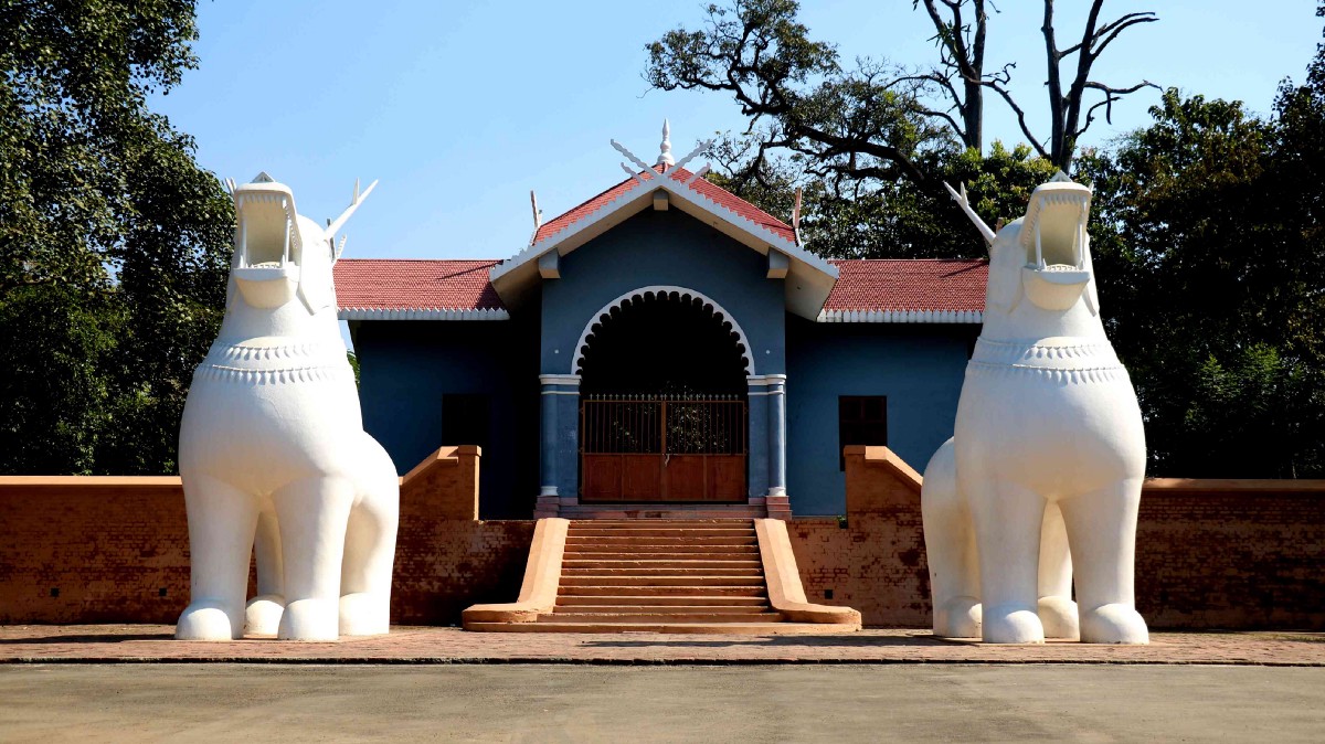
Chandel
64 km south of Imphal lies the tiny, but scenic town of Chandel, also known as Lamka. Not very far from India’s border with Myanmar, it is also known as the Gateway to Myanmar and is famous for being home to more than 20 native tribes with each tribe offering a unique identity to the area. Chandel is also known for its numerous varieties of Orchids, ornamental plants, and some very useful medicinal plants. Some of the must-visit spots here include the Tengnoupal, which is the highest point in the area and can offer some stunning sceneries and views.
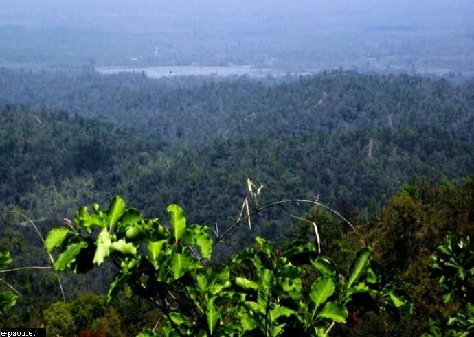
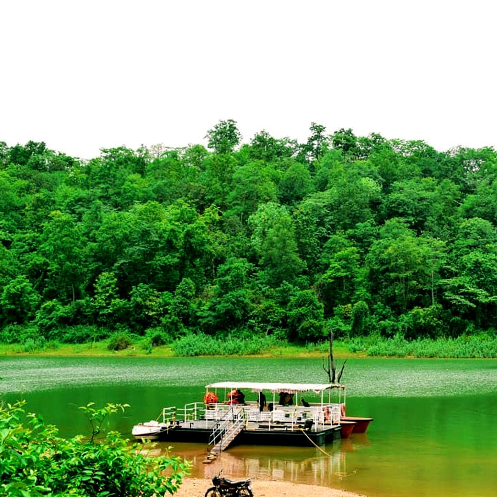
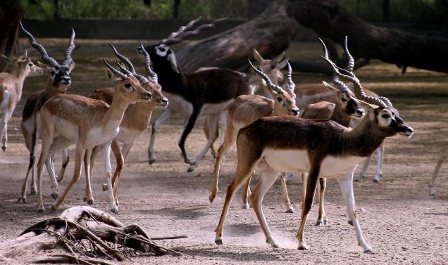
Founded in 1989, the Yangoupokpi – Lokchao Wildlife Sanctuary covers an area of 185 sq km and is home to multiple species of mammals, birds, reptiles, amphibians as well as fish. This sanctuary is one of the nine Identified Important Bird Areas or IBAs in Manipur, where the IBA is of critical importance for environmental conservationists and bird watchers as it is the only place where the endangered Green Peafowl can still be sighted. It is also one of those rare forests where communities of people live in tandem with nature. Seven forest villages are presently housed in the sanctuary and the villagers are dependent on the natural resources of the forest for their livelihood. The sanctuary is located at the India-Myanmar border, housing a mix of riverine and terrestrial ecosystems.
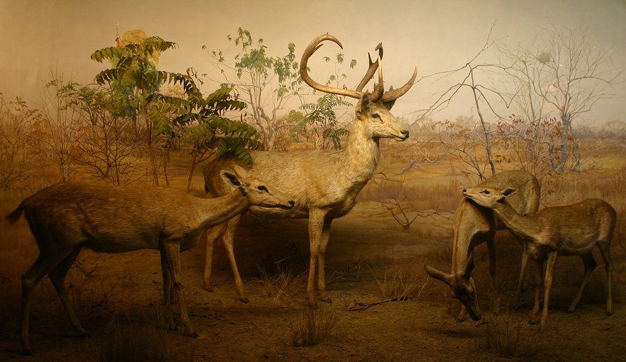
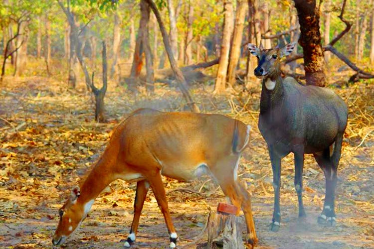
The sanctuary is home to many rare varieties of wild orchids, most of them unknown to the world as yet. Other trees forming the forest cover include the Dipterocarpus Turbinatus or Gurjan, the Tectona Grandis or Teak, the Melanorrhoea Usitata or Burmese Lacquer, the Terminalia Chebula or Black Myrobalan, the Emblica Officinalis or the Indian Gooseberry, the Cedrella Toona or the Indian Cedar, the Quercus Spp or the Oak, the Bauhinea, the Dillenia, and many varieties of bamboo. The wildlife sanctuary is home to 42 mammal species, 74 bird species, 29 reptile species, 6 amphibian species, and 86 fish species. The Hoolock Gibbon, the only variety of the ape found in India as well as the Snow Leopard and Golden Cat, which make rare appearances during the night, are also found here. Around the border area, the extremely rare Malayan Sun Bear can also be found. The best time to visit the Yangoupokpi Lokchao Wildlife Sanctuary is between October to April.

Tengnoupal
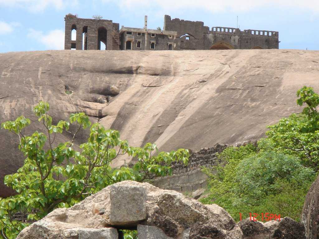
Located about 70 km southeast of Imphal and 20 km from Chandel is the hilly town of Tengnoupal which lies at the highest point of the NH-2 between Imphal and Moreh at the end of northwestern Myanmar and the ASEAN Highway passes through the village. The climate is cold all throughout the year and remains foggy during the rainy season and the village was founded by Pu Houlim Loikhom Mate and it is the largest village of the Kuki people settlement in the district. Due to its strategic importance, the village has seen many battles in the course of history including World War II. The main attraction here is the Tengnoupal which provides a bird’s eye view of the entire valley, from an altitude of 2,500 to 10,000 feet and is the highest point in the state. The Barak and Manipur rivers flow through the town, traversing from north to south.

The story of Tengnoupal is fragmented by the rule and control of different clans and countries. Long ruled by the Pakhanga dynasty, starting from the year 33; it was occupied by the Chinese in 1631. In 1942, it was bombed during World War II by the Japanese. The name Tengnoupal is derived from cactus fencing where teng means cactus and pal is a fence. Tengnou means tender cactus in the local language. It was named after the Awa Laan or the Manipur-Burmese War in the 16th century as cacti were planted as a fence in the Tengnoupal Hill range. The villagers of the then Tengnoupal and surrounding villages fought against the Burmese who invaded the Meitei kingdom of the Imphal Valley and many young warriors of Tengnoupal were killed and taken as a hostage to Burma. In the 19th century, Tengnoupal was the epicentre of the Anglo-Kuki war where more than 30 personnel of the British force were annihilated under the command of Pu Chomsho Mate, the younger brother of Pu Loikhom Mate, Chief of Tengnoupal. After that incident, the British Army captured Tengnoupal and then became the Army and Administrative HQ of the then British colonial government.
During World War II the people of Tengnoupal supported the Indian National Army or the INA led by Subhas Chandra Bose. The INA and the Japanese Army even brought in tanks and other heavy war equipment with the help of the local people led by Pu Sholim Mate and they were about to capture the Imphal Valley. Knowing the advancement of the INA and the Japanese Army, after occupying strategic locations at Tengnoupal the British Royal Air Force or RAF bombarded the hill ranges of Tengnoupal where many INA, Japanese and local volunteers were killed.

Moreh
Located about 108 km southeast of Imphal, Moreh is a border town located on the India–Myanmar border and is also known for its natural beauty. A strategically important town, due to its location at the Indo-Myanmar border Moreh is a sizable commercial hub in North-Eastern India, bringing in traders for cross-border trade. Tamu in Myanmar, just across the Menal river from Moreh, is connected to Moreh via 2 road bridges: The Indo-Myanmar Friendship Bridge and a newer Moreh ICP Bridge which connects the Moreh Integrated Check Post. Tamu in Myanmar connects Moreh in India to Kalewa-Yagyi-Mandalay in Myanmar and Mae Sot in Thailand through the India–Myanmar–Thailand Trilateral Highway. Moreh is also popular for its shopping arcade at Namphanglong, which sells Chinese and Thai goods at cheap prices. Being a border trade and transit town, Moreh plays a key role in the development of the economy of the state with border haat as well as international trade. A significant portion of the economy of Moreh depends on smuggling, including illegal teak smuggled from Myanmar.

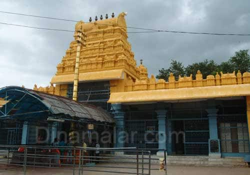
Kaina
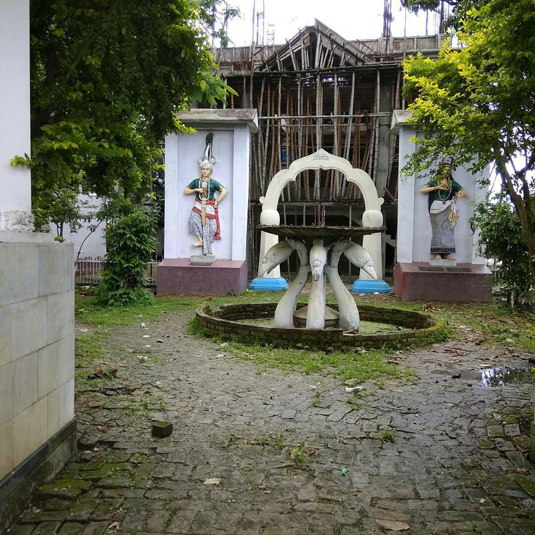
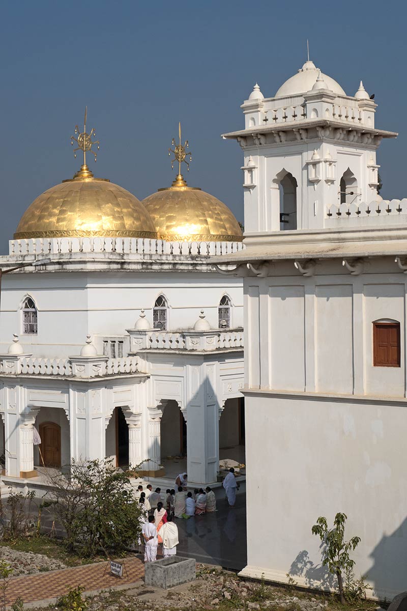
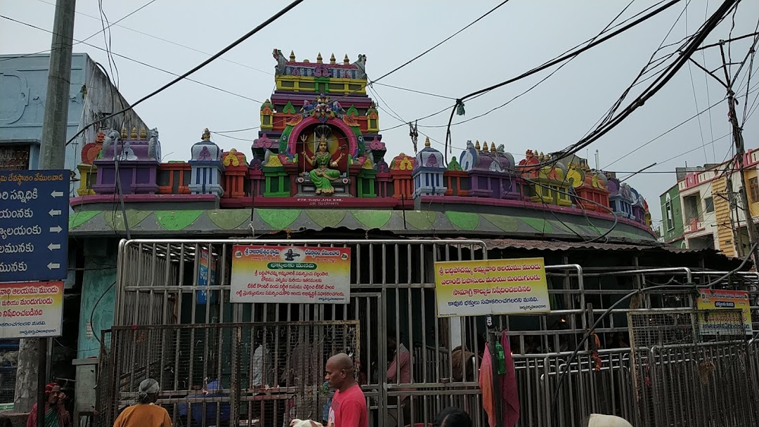
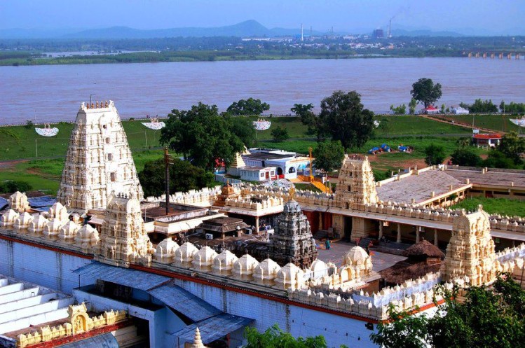
Located 24 km southeast of Imphal, Kaina is a hillock about 921 m above sea level and is a sacred place for Manipuri Vaishnava Hindus. According to legend, Shri Govindajee appeared in the dream of his devotee, Shri Jai Singh Maharaja, the 18th century King of Manipur and asked him to install in a temple with an image of Shri Govindajee. The image was to be carved out of a jack fruit tree, which was then growing at Kaina. Kaina is famous for the grand feasts performed as well as for the scenic beauty of the hillside.

The Sacred Jackfruit Tree is the tree on Kaina hill from which seven images of Lord Krishna were carved and installed in various temples in Manipur and in the neighbouring state of Assam, including the Shree Govindajee Temple at Imphal. In the past, Kaina Hill was known as Lakhai Phandong Ching and was the royal orchard of the palace. The original location of the jackfruit tree has been declared a historical and archaeological site by the Archaeological Department of Manipur.

Ukhrul
A hill station, Ukhrul is almost akin to paradise with mountains, brooks and waterfalls at every turn. Also known as Hunphun, Ukhrul is the home of the Tangkhul Naga and lies 81 km northeast of the state capital, Imphal. The Khangkhui Cave is a natural limestone cave located in the village of Khagkui, about 16 km from Ukhrul. The ancient pre-historic limestone cave locally called Khangkhui Mangsor, when excavated yielded evidence of habitation of Stone Age communities. According to local folklore, the big hall in the cave is the darbar hall of the Devil King living deep inside while the northern hall is the royal bedroom. During World War II, villagers sought shelter here and the cave can be reached after about an hour’s trek from Khangkui village.

The Shirohi National Park located on the top of Shirui hill lies about 19 km from Ukhrul. It is the only habitat of the beautiful terrestrial lily, Shirui lily or Lilium macklineae, found nowhere in the world except in this park. The park was established in 1982 and among the animals that make their home here include the tragopan, the tiger and the leopard. The main peak of Siroy abounds with flowers during the monsoon and it is a veritable paradise. The Shirui Kashong Peak near Ukhrul is a marvellous hilltop viewpoint located at a height of 2,835 meters above sea level. Several rivers originate from the cracks and slopes of this peak. The exotic Shirui lily flower blooms on the hilltop in May/June and attracts hundreds of scientists and tourists every year. In the park natural life is supported by an undisturbed biological system which has a dense tropical forest all over and temperate forest in the hilltops.
Manipur’s Hills
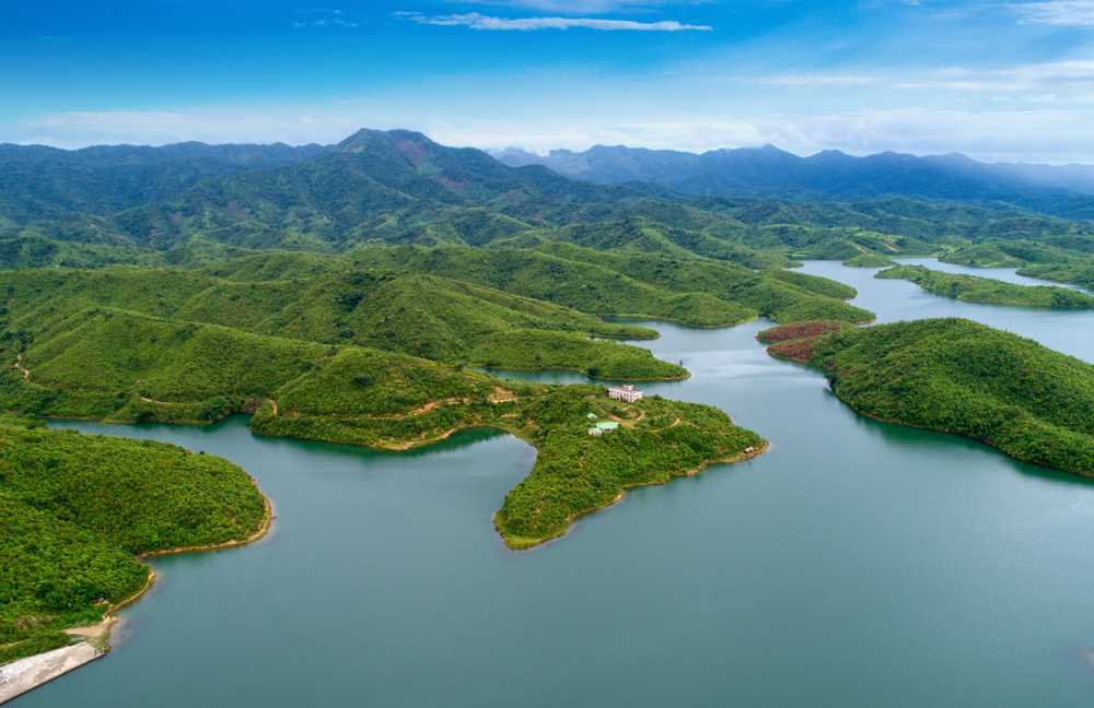
Manipur’s topology means it is abundant in hills and valleys, many of which are considered sacred by the local tribes. Mount Tempu or Mount Iso is the highest peak in Manipur with the Dzuko Valley below it.

Mount Koubru, one of the highest peaks in Northeast India is easily identified by its humped back like a cow. A place of great religious significance by the adherents of the Sanamahi faith, Mount Koubru also known as Mount Koupalu. It is considered to be the abode of God Lainingthou Koubru, the protector deity of the Northern Kanglei world and Goddess Kounu in Manipuri mythology. It is said that God Lainingthou Koubru lives here with his consort Goddess Kounu and their sacred animal Shamu Laishaa Angouba, the White Elephant. The town of Sapormeina lies below the peak and is one of the most visited pilgrimage sites in Manipur. The mythology of ancient Meitei concerns the study of cosmology as well as that of the human body with Mount Koubru considered to be the head of the body. Many letters of the ancient Meetei Mayek exist atop this mountain. Mount Koubru is considered to be one of the primary pilgrimage sites by the Meitei people; the stone-formations at the peak are believed to be parts of a single human face, resembling the 27 alphabets of the Meitei language. The mountain is also noted for mountain hiking as well as mountain climbing.

Baruni Hill, Nongmaiching Hill, Selloi Langmai Hill or the Sunday Mountain is a hill range and the abode of God Lainingthou Nongpok Ningthou and his consort Panthoibi in Manipuri mythology. The hill is one of the most important pilgrimage sites for followers of the Sanamahi faith and is best known for adventure activities including mountain hiking and mountain climbing. The hill is believed to be the abode of Lord Lainingthou Nongpok Ningthou and his beloved consort Goddess Panthoibi. After the advent of Hinduism in the Kanglei world, the attributes of Lord Lainingthou Nongpok Ningthou was identified as Lord Shiva of Hinduism. The Sanamahi Kiyong Temple, which is the abode of Lord Lainingthou Sanamahi and his mother Goddess Leimarel Sidabi is the most visited one. At the peak of the hill, there is the Khalong Temple, the abode of Nongmai Kainou Chingsomba and in the periphery is the Baruni Mahadeva Temple. Manipuri people climb the hill annually after Yaoshang and the temple is a sacred pilgrimage site of the Kabui, Tangkhul, Kom, Hmar, Chothe, Zeliangrong, Meitei and Bishnupriya Manipuri people and the followers of Sanamahi faith.

The Thangjing Hill is a hill range and the abode of God Eputhou Thangjing and other Meitei deities in Meitei mythology. The temple of Lord Eputhou Thangjing at the hilltop is a major pilgrimage site for followers of the Sanamahi faith. In Meitei mythology, the hill is mainly associated with the deity Lord Eputhou Thangjing who is the guardian of the mountain and the protector of the south of the Kanglei world. The hill is also mentioned in the great Meitei epic poetry, Khamba Thoibi.
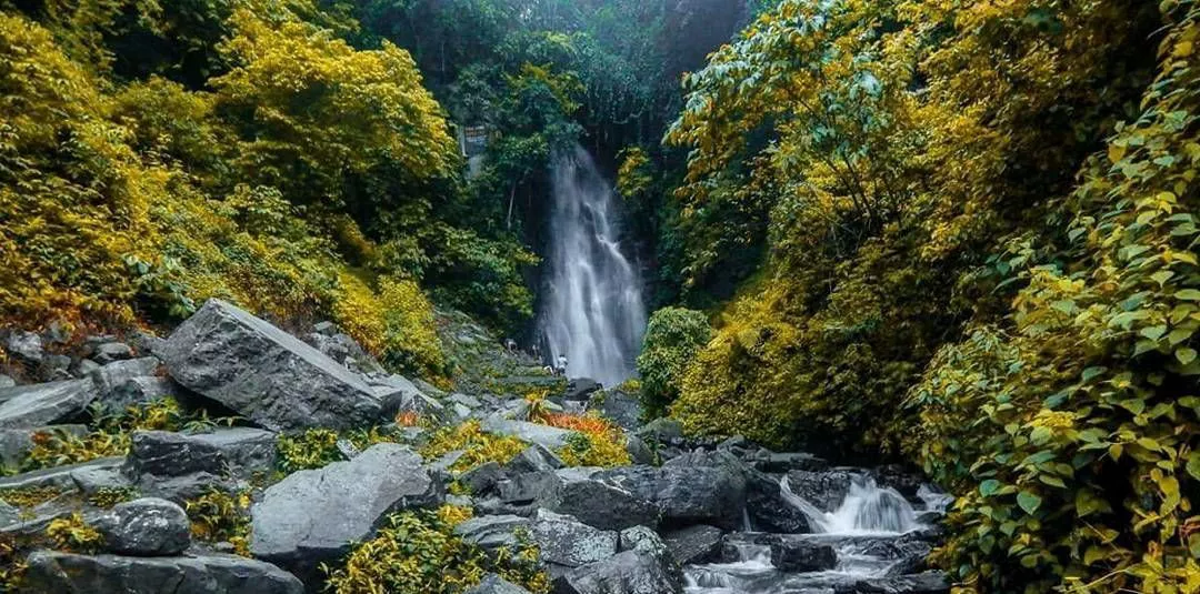
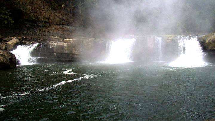
The Sadu Chiru waterfall, near the Ichum Keirap village, about 27 km from Imphal, consists of three falls with the first falling from about 98 feet high and has the Agape Park in the vicinity.
With this, the series on Manipur comes to an end. I do hope this has inspired some of you to make a trip to this lovely state when things are better. I know I will.


