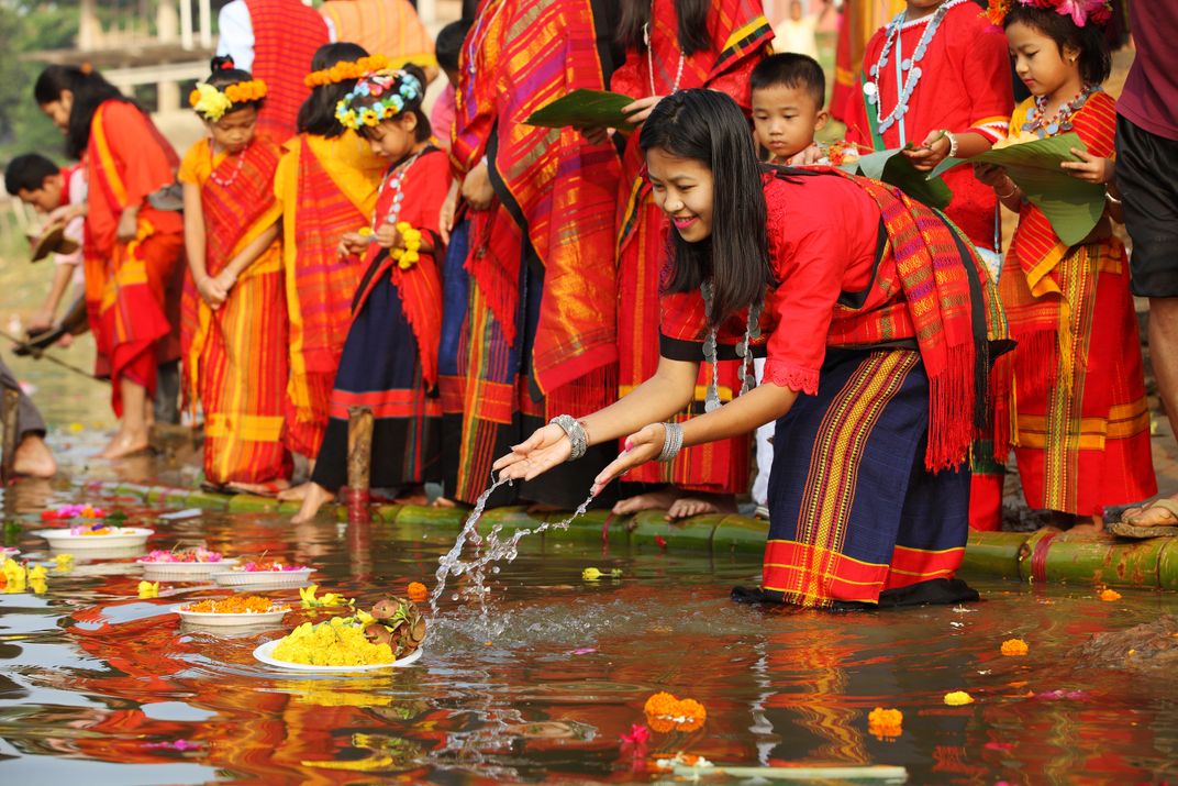
India is a land of festivals and the more colourful, the better. One such colourful festival is Biju, celebrated by the Chakma community in Tripura, marking the dawn of a New Year for the community. The festival is also celebrated by seven other ethnic groups in Tripura: Marma, Tangchangya, Tripuris, Mro, Khumi, Khiyang and Chak. The Marmas call the festival Sangraig, Tangchangya refers to it as Bishu, Truipis call it Baisuk and Ahmia name it Bihu.
Celebrated over three days, Biju falls on the last day of the Bengali calendar. The festival is a celebration of the arrival of spring and is one of the most important cultural events in the region. The festival has been celebrated in the region for thousands of years and is deeply rooted in the cultural heritage of the northeastern part of India and Bangladesh. The festival is a celebration of the end of the harvest season and the beginning of a new agricultural cycle.
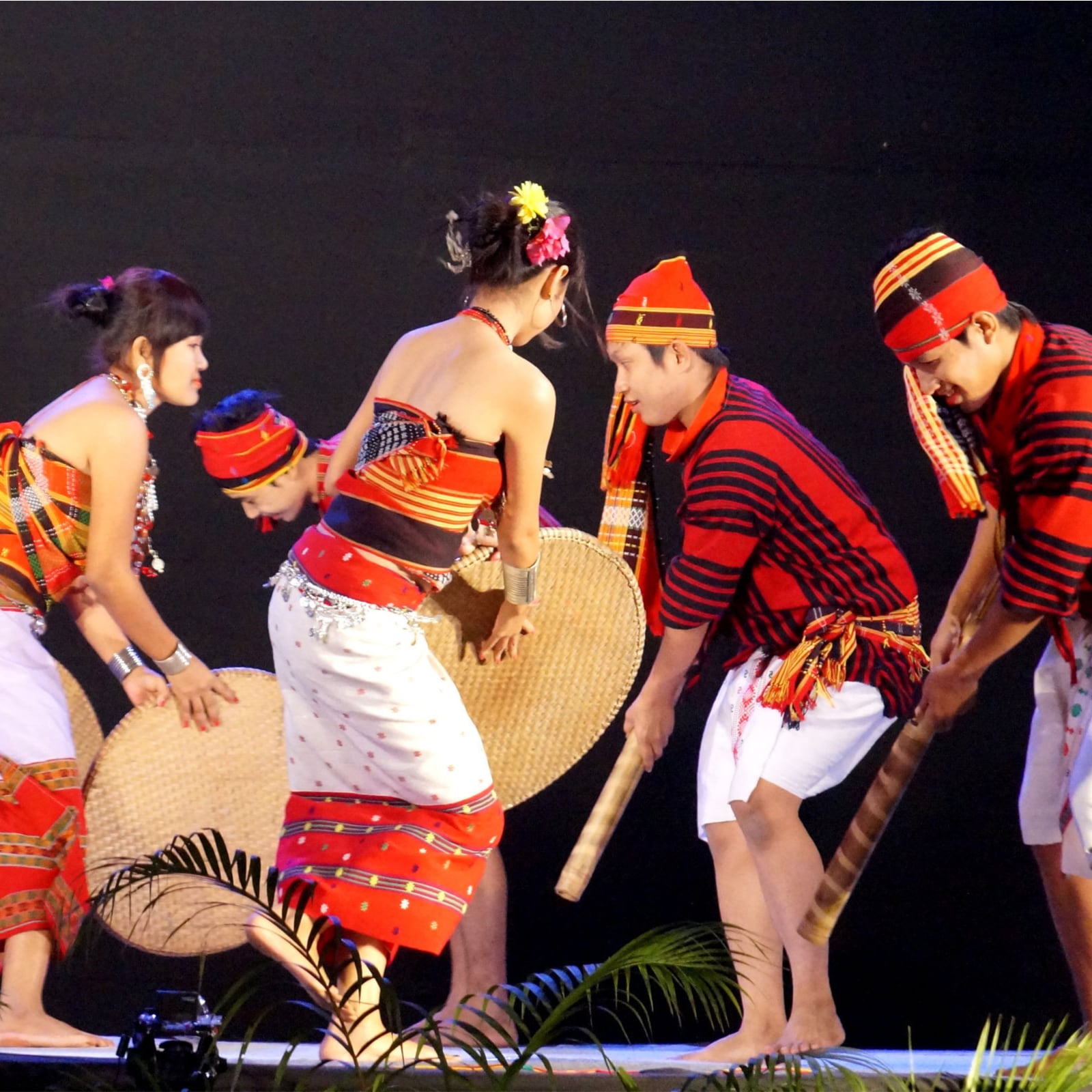
Each day of the festival has its own distinct traditions and customs. On the first day of Biju, called Phool Biju, people clean their houses and decorate them with flowers. They also pay floral tributes to the nearby rivers. The second day, called Mul Biju, is celebrated with the performance of traditional songs and dances, culminating with the famous Biju dance. On the third and final day, known as Gotche Potche Biju, elders of the community are honoured with an elaborate feast and renew their marriage vows with their spouses. One of the main attractions of the festival is the special Biju dance, accompanied by the rhythms of traditional musical instruments that constitute percussion and flute.
Earlier the festival used to be celebrated for over a fortnight. However, in changing times, it is celebrated over three days. The Biju festival is not just limited to cultural events and traditions. It is also a time for family and friends to come together and exchange greetings and gifts. On this day, people visit each other’s homes, exchange sweets and fruits, and offer well wishes for the coming year. The festival is a time for the community to come together and celebrate the end of the harvest season and the beginning of a new agricultural cycle.