In My Hands Today…

Myths of Geography: Eight Ways We Get the World Wrong – Paul Richardson
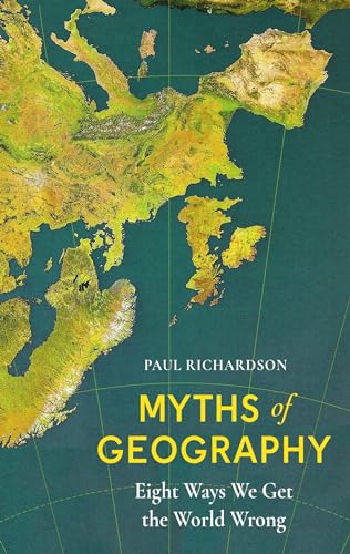
Is geography really destiny?

Our maps may no longer be stalked by dragons and monsters, but our perceptions of the world are still shaped by geographic myths. Myths like Europe being the centre of the world. Or that border walls are the solution to migration. Or that Russia is predestined to threaten its neighbours.

In his punchy and authoritative new book, Paul Richardson challenges recent popular accounts of geographical determinism and shows that how we see the world represented often isn’t how it really is – that the map is not the territory.

Along the way we visit some remarkable Iceland’s Thingvellir National Park, where you can swim between two continents; Bir Tawil in North Africa, one of the world’s only territories not claimed by any country; and we follow the first train that ran across Eurasia between Yiwu in east China and Barking in east London.

Written with verve and full of quotable facts, Myths of Geography is a book that will turn your world upside down.

In My Hands Today…

Four Points of the Compass: The Unexpected History of Direction – Jerry Brotton

North, south, east, and west: almost all societies use these four cardinal directions to orientate themselves and to understand who they are by projecting where they are. For millennia, these four directions have been foundational to our travel, navigation, and exploration, and are central to the imaginative, moral, and political geography of virtually every culture in the world. Yet they are far more subjective—and sometimes contradictory—than we might realize.

Four Points of the Compass takes us on a journey of directional discovery. Societies have understood and defined directions in very different ways based on their locations in time and space. Historian Jerry Brotton reveals why Hebrew culture privileges east; why Renaissance Europeans began drawing north at the top of their maps; why early Islam revered the south; why the Aztecs used five color-coded cardinal directions; and why no societies, primitive or modern, have ever orientated themselves westwards. In doing so, politically-loaded but widely used terms such as the “Middle East,” the “Global South,” the “West Indies,” the “Orient,” and even the “western world” take on new meanings. Who decided on these terms and what do they mean for geopolitics? How have directions like “east” and “west” taken on the status of cultural identities—or more accurately stereotypes?

Yet today, because of GPS capability, cardinal points are less relevant. Online, we place ourselves at the center of the map as little blue dots moving across geospatial apps; we have become the most important compass point, though in the process we’ve disconnected ourselves from the natural world. Imagining what future changes technology may impose, Jerry Brotton skillfully reminds us how crucial the four cardinal directions have been to everyone who has ever walked our planet.

In My Hands Today…

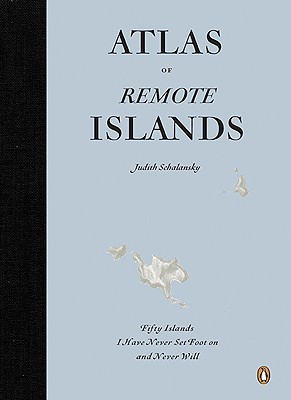
Atlas of Remote Islands: Fifty Islands I Have Never Set Foot On and Never Will – Judith Schalansky, translated by Christine Lo

There are still places on earth that are unknown. Visually stunning and uniquely designed, this wondrous book captures fifty islands that are far away in every sense-from the mainland, from people, from airports, and from holiday brochures.

Author Judith Schalansky used historic events and scientific reports as a springboard for each island, providing information on its distance from the mainland, whether its inhabited, its features, and the stories that have shaped its lore.

With stunning full-colour maps and an air of mysterious adventure, Atlas of Remote Islands is perfect for the traveller or the romantic in all of us.

In My Hands Today…

Maphead: Charting the Wide, Weird World of Geography Wonks – Ken Jennings

In a world where geography only makes the headlines when college students are (endlessly) discovered to be bad at it, these hardy souls somehow thrive. Some crisscross the map working an endless geographic checklist: visiting all 3,143 U.S. counties, for example, or all 936 UNESCO World Heritage Sites. Some pore over million-dollar collections of the rarest maps of the past; others embrace the future by hunting real-world cartographic treasures like “geocaches” or “degree confluences” with GPS device in hand. Some even draw thousands of their own imaginary maps, lovingly detailing worlds that never were.

Ken Jennings was a map nerd from a young age himself, you will not be surprised to learn, even sleeping with a bulky Hammond atlas at the side of his pillow, in lieu of the traditional Teddy bear. As he travels the nation meeting others of his tribe–map librarians, publishers, “roadgeeks,” pint-sized National Geographic Bee prodigies, the computer geniuses behind Google Maps and other geo-technologies–he comes to admire these geographic obsessives. Now that technology and geographic illiteracy are increasingly insulating us from the lay of the land around us, we are going to be needing these people more than ever. Mapheads are the ones who always know exactly where they are–and where everything else is as well.

In My Hands Today…

The Map That Changed the World: William Smith and the Birth of Modern Geology – Simon Winchester

William Smith was not rich or well connected, but his passion for rocks and fossils, and his twenty-year obsession with single-handedly mapping the geology of Britain made him one of the most significant men of the nineteenth century.

However his vision cost him dear – his wife went mad, his work was stolen by jealous colleagues who eventually ruined him, and he was imprisoned for debt.

Simon Winchester tells the fascinating story of ‘Strata’ Smith, a man who crossed boundaries of class, wealth and science to produce a map that fundamentally changed the way we view the world.