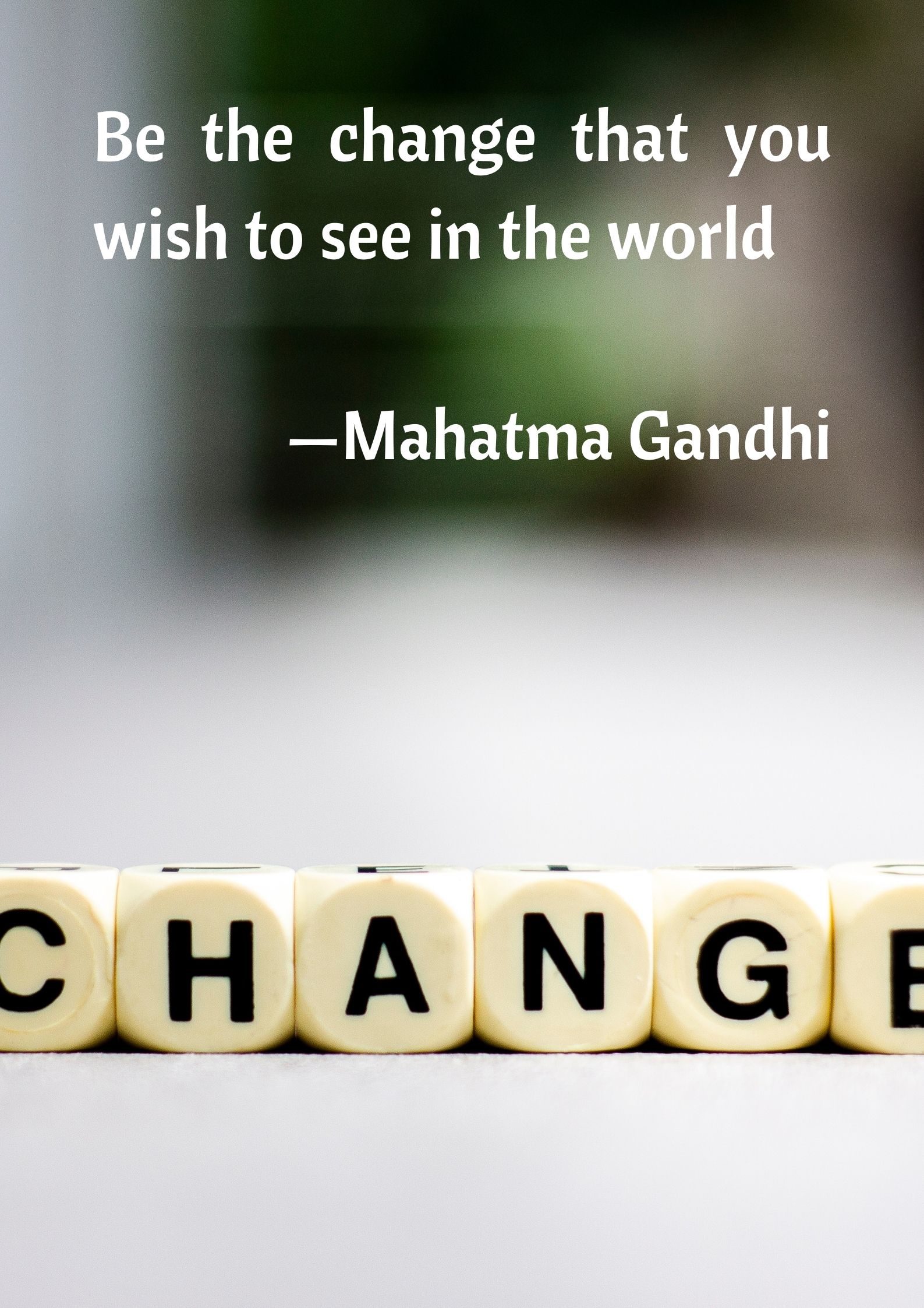
Today’s quote comes to us from Mahatma Gandhi, the Indian freedom fighter who led India’s freedom struggle from British colonial rule using non violence. Also known as India’s Father of the Nation, his birth anniversary is a federal holiday in the country. According to Gandhi, we have to be the change that we wish to see in the world. What this quote means we should not complain about what others are doing and should fight for what the believe in. This means we should look inside ourselves first before we try to change the habits and characteristics of others.
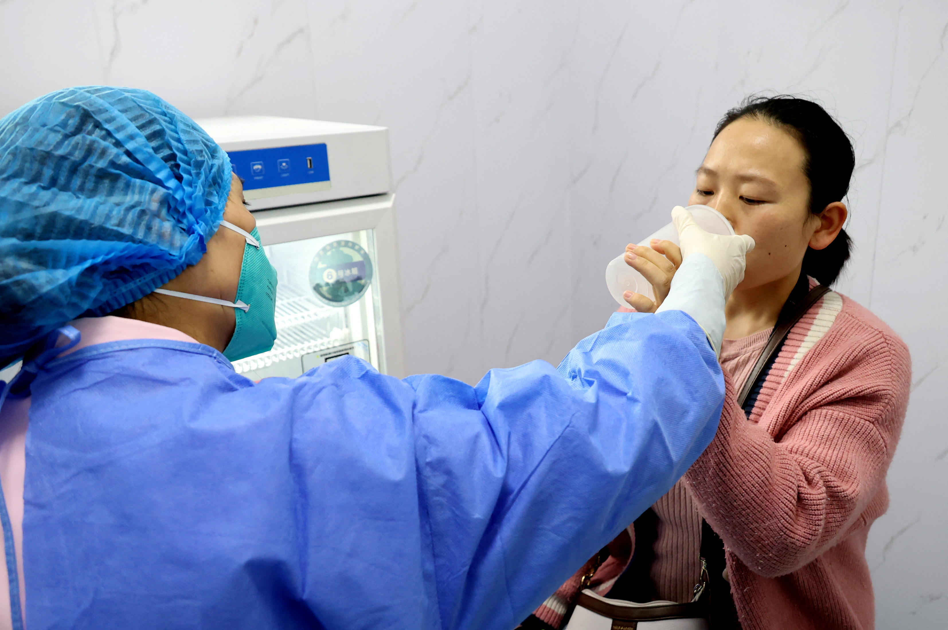
Last week, I read a news article about Shanghai in China creating the world’s first inhalable COVID vaccine. The vaccine, produced by Chinese pharmaceutical firm CanSino Biologics, is for use as a booster. The vaccine is inhaled via the mouth from a vessel that looks like a take-out coffee cup with a short mouthpiece. The advent of inhaled vaccines is important not only because of their potential to guard against infection but also because they could lessen vaccine hesitancy.
It’s the end of another month and time for my walking updates. For some reason, I’ve not been walking as much as I would like, but this month, I am continuing to walk in the state of Uttar Pradesh. Currently, on the Purvanchal Expressway, I am about 15 km east of the state’s capital, Lucknow. I am about 400 km from the next state which will be Madhya Pradesh.
I had a low reading month because of Diwali and the varied preparations I was busy with, so that’s something I need to rectify this month. Hopefully, I will be able to give a better report next month.
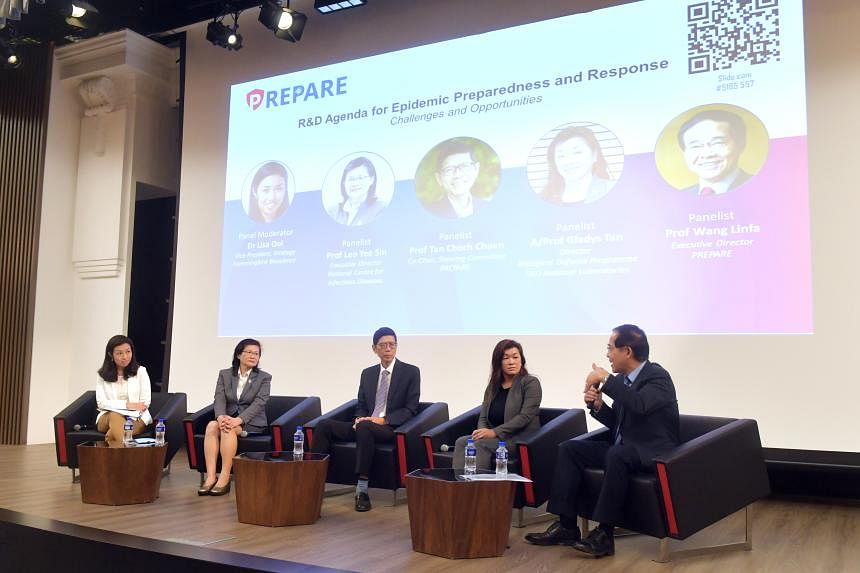
Earlier this week Singapore’s Ministry of Health officially launched a new research programme that aims to build up Singapore’s preparedness and response capabilities for future pandemics. The Programme for Research in Epidemic Preparedness and Response’s (PREPARE) immediate task will be to work closely with MOH to develop a national epidemic research and development plan. This dedicated research programme will help to bring together multi-disciplinary experts throughout the pandemic research ecosystem in a coordinated fashion and will also further strengthen Singapore’s existing capabilities by forming research networks as well as developing necessary tools, methods, and products to respond to future infectious disease outbreak threats. Internationally, the new programme will strengthen research partnerships, share information and knowledge, and collaborate in clinical trials with various institutions in the region.
That’s all from me this week. Take care folks and stay safe.