Ten Arguments For Deleting Your Social Media Accounts Right Now – Jaron Lanier
Jaron Lanier, the world-famous Silicon Valley scientist-pioneer who first alerted us to the dangers of social media, explains why its toxic effects are at the heart of its design, and explains in ten simple arguments why liberating yourself from its hold will transform your life and the world for the better.
In Ten Arguments For Deleting Your Social Media Accounts Right Now Jaron Lanier draws on his insider’s expertise to explain precisely how social media works and why its cruel and dangerous effects are at the heart of its current business model and design. As well as offering ten simple arguments for liberating yourself from its addictive hold, his witty and urgent manifesto outlines a vision for an alternative that provides all the benefits of social media without the harm. nicer person in the process.
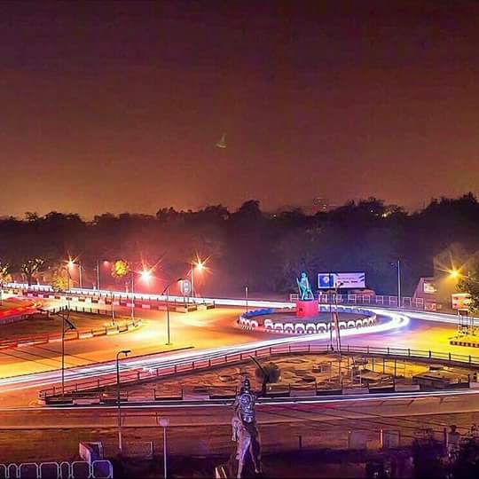
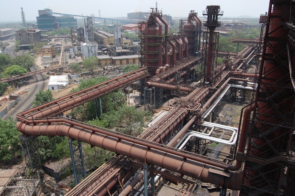
India’s first planned industrial city and Jharkhand’s largest and most populous city, Jamshedpur or Tatanagar lies about 126 km southeast of the capital of Ranchi and about 133 km south of Bokaro Steel City. Juxtaposed against the beautiful Dalma Hills, Jamshedpur is also known as the Steel City and is the quintessential example of the boon of industrialisation in a developing nation. Ranked India’s cleanest city in 2019, Jamshedpur was founded by one of India’s pioneering industrialists Jamsetji Nusserwanji Tata. In 1919 Lord Chelmsford renamed the city, which was originally named Sakchi, to Jamshedpur in honour of its founder. Every Founders Day on 3 March, the 225-acre Jubilee Park is decorated with brilliant lightwork for about a week.
Over three years, C. M. Weld, Dorabji Tata and Shapurji Saklatvala painstaking searched vast stretches of inhospitable terrain to find a location for a steel plant. One day they came across Sakchi which is today a business district in the city, on the densely forested stretches of the Chota Nagpur plateau, near the confluence of the Subarnarekha and Kharkai Rivers and knew this was where they would build their steel plant. In 1908, construction of the plant as well as the city officially began and the first steel ingot was rolled on 16 February 1912.
Jamsetji’s envisioned far more than a mere row of workers’ hutments and insisted upon building all the comforts and conveniences a city could provide. As a result, many areas in the city are well planned and there are public leisure places such as the Jubilee Park. In 1945, Tata Motors was set up and is now the second-largest industry in Jamshedpur, after Tata Steel which is situated in the centre of the city and occupies approximately 1/5 of the entire city area. It acts as a pivotal centre for the industries of the city of Jamshedpur with a large number of them having direct or indirect linkages with it.
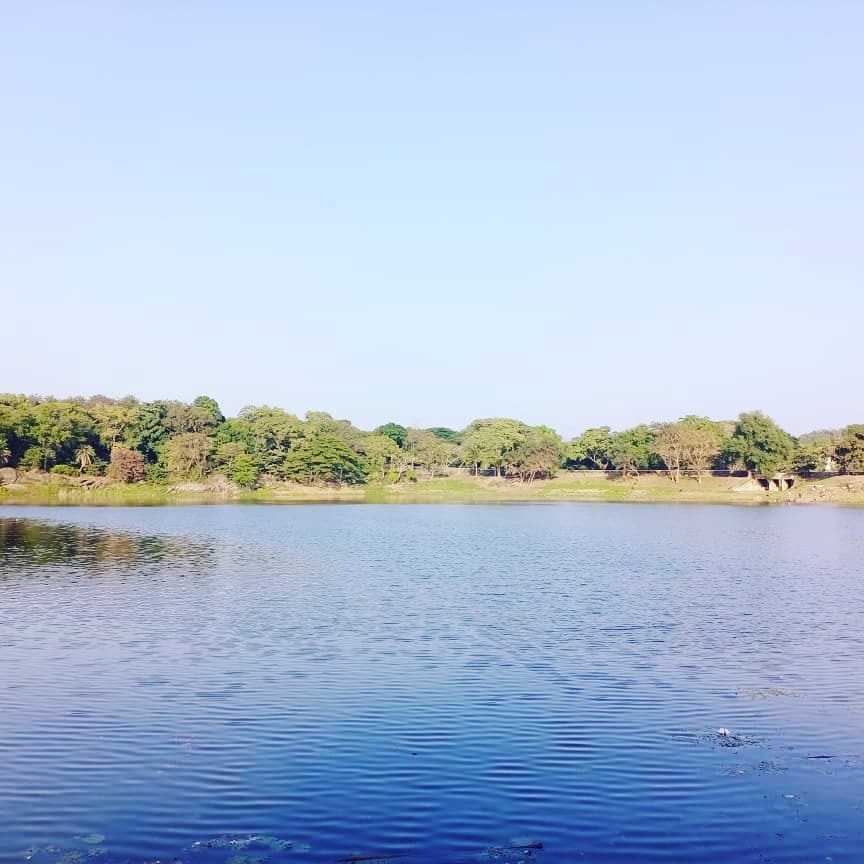
Located close to the Dalma Wildlife Sanctuary about 13 km from the city centre, Dimna Lake is an artificial lake located at the foothills of the Dalma mountain range and is famous as a picnic spot with its clear water and scenic surroundings. The lake is used as a reservoir and provides for Jamshedpur’s water requirements. A gorgeous view of the sunrise coming up from behind the hills, splendid greenery and the melodious chirping of birds is what sets this artificial lake apart. The Dimna Dam is built on the River Kharkai. The Dimna Lake and the Dam are both enterprises of the TATA Steel Company which owns the lake as well as the area around it. This is open to the public and has cement flatbeds and benches conveniently stationed all over. The land near the lake is seasonally populated with forests and foliage and there are several open spaces which people enjoy. Adventure sports on the lake are a central point of attraction for most visitors with the TATA Steel Adventure Foundation, providing packages for treks and water sports activities.
Another artificial lake, the Hudco Lake is located in the TELCO Colony near a park that also houses an artificial waterfall that uses the water of the lake. The lake and park complex are located on a beautiful hillock and it provides a panoramic view of the entire city. Jayanti Sarovar is a gorgeous lake used as a recreation spot that attracts rare and exotic birds during the winter months. The lake also houses an amusement park as well as water fountains and flower beds. The confluence of the rivers Subarnekha and Domohani is surrounded by tall eucalyptus trees and verdant greenery which gives it an imposing serenity and calmness. Sunsets here are gorgeous and should not be missed.
Located on the banks of the Subarnekha River, Bhatia Park is a beautiful park with extremely wide spaces and lush greenery. Close by is the Chandi Baba Temple which can be visited during the evenings. The Sir Dorabji Tata Park was built by Tata Steel and dedicated to Russi Modi and so was previously known as Modi Park. The park boasts well-maintained gardens, brilliant water fountains and gorgeous flower beds.
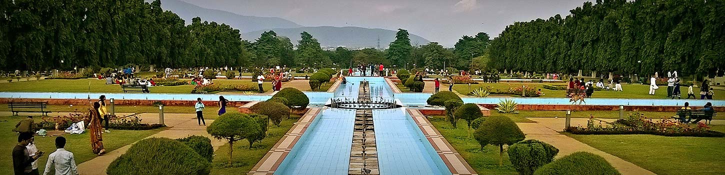
Jubilee Park is a local favourite for picnics and relaxing times with family and friends. Popular amongst joggers and cyclists, it is a gigantic park, spanning about 225 acres of land in the centre of the city. Within, there is a lake, amusement park, recreation centre, fountains and a zoo. Opened to the public in 1958, on the occasion of the city’s golden jubilee, the park was originally a gift to the town from the TATA Steel Company. It was inspired by the Brindavan Gardens of Mysore and the park also has a statue of Mr Tata and is known as the Mughal Gardens of Jamshedpur. Jubilee Lake is a beautiful lake surrounded by a laser light auditorium and a zoo, all of which are managed by Tata Steel. The lake facilitates boating and fishing and is a popular tourist spot. One of the biggest attractions in the park is the Tata Steel Zoological Park which has attractions like a butterfly park, boating, a nature trail, a safari park, a bat island, a nature education centre and a photo gallery. There is also a laser and fountain show with music that takes place every evening with four shows starting from 6:30 pm onwards. The best time to visit the park is early in the morning or after 6 pm to view the fountain show. Jubilee Park is open from 7 am to 7 pm and the zoo is open from 9 am to 5 pm and closed on Mondays. The fountain shows are at 6:30 pm, 7:30 pm, 8:30 pm and 9:30 pm. Entrance to the park is free while the zoo will incur an entry fee of INR 30 for adults and INR 20 for children. For the amusement park, it is INR 90 per person while the fountain and laser show will incur a ticket fee of INR 35.
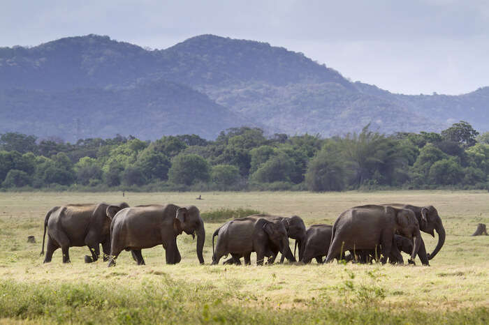
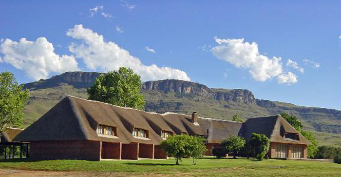
Famous for its forest tourism, the Dalma Wildlife Sanctuary is locally known for its wild resident elephants. Dalma Haathi or the Elephants of Dalma is a known and quite fearful term in the Jamshedpur-Puruliya region. Established in 1975 and inaugurated by Sanjay Gandhi, the Dalma forest is home to a horde of animals, birds and tree species as well. Overlooking the Subarnarekha River, the Dalma hills nestle the dense green forests. Parts of this forest got shunted when the steel plant was established near the Kharkai-Subarnarekha confluence. Visitors can also drive through the forest and spend a night at the rest houses and bamboo huts offered by the forest department. Dalma Wildlife Sanctuary offers an excellent bird watching experience and a spectacular view from atop the Dalma peak which also has a couple of temples one can visit. Occupying an area of 193 sq km, the forest consists of dry mixed deciduous along with dry peninsular sal and is home to a many tall wild species of trees like sal, gamhar, mahua, semgal and some shorter ones like Jamun, Dhaura, Kendu as well. Mostly native to India, these trees make up for a good portion of east India’s oxygen supply. The forest’s fauna is equally diverse. Other than the tuskers for which it is famous, one can also spot barking deer, porcupines, wild boars, giant squirrels, mongooses and sloth bears. Leopards are said to be present but hard to have a glimpse of.
One can pay a small visit to the small open-air shrine of Dalma Mai or the Goddess of the forest. At the top of the Dalma Mountain are the temples of Lord Shiva and Lord Hanuman. An experienced guide can show the colonial remains amidst the forests. Makulakocha is a forest check post with a museum-cum-interpretation centre and a deer enclosure and is the entrance to the sanctuary. It also has a rest house as well as bamboo huts for lodging with elephants belonging to the forest department kept and fed here. The sanctuary is open from 6 am and 4 pm and has an entrance fee of INR 5. Cars and jeeps need to pay INR 150 as an entry fee and photography charges ate INR 80 per camera per day while videography will set one back by INR 500 per camera per day.
Located at a height of 500 m near the Kharangajar Market, the Bhuvaneshwari Temple is popularly known as the TELCO Bhuvaneshwari Temple. Enshrined by Ma Bhuvaneshwari, the temple also has idols of other deities including Lord Shiva and Lord Krishna. Because of its elevation, it offers a panoramic cityscape view. The Golpahari Temple is located on the outskirts of Jamshedpur city on a hilltop and is dedicated to Pahari Ma or the Goddess of the Mountains. The temple can be reached through a flight of 100 steps and offers a mesmerising view of the city below. The Rankini Mandir is located in Jadugoda, about 27 km southeast of Jamshedpur. Enshrined by Kali Mata, the temple is situated on a hillock and is believed to have been established on a rock in the days gone by and witnessed human sacrifices made to Goddess Kali which was ended by the British rule.
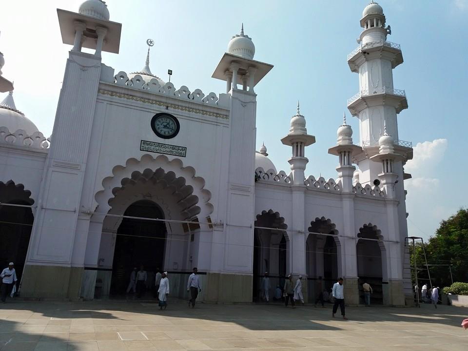
Sakchi Masjid s a brilliant specimen of Mughal architecture built of white marble with many domes and high minarets. Supposedly, it is the largest mosque in Jamshedpur, it is visited by many pilgrims annually. St Mary’s Church is one of the oldest churches in the city and is always crowded with devotees.
Located just outside Jubilee Park, the Russi Modi Centre for Excellence houses various professional organisations. The building was designed by Hafeez Contractor and is considered to be one of the most beautiful buildings in Jamshedpur. The building was formerly designed as part of Jubilee Park and houses the archives of Tata Steel.
The Amadubi Rural Tourism Centre is a rural village and a tourist where visitors are taken around in decked bullock carts to see local tribal culture and artworks. Pyatkar paintings are the highlight of the centre and one can also witness local kirtan songs and visit traditional cottages besides experiencing adventure sports like parasailing and mountain climbing.
The Tribal Culture Centre preserves the rich culture of the Santhal, Ho, Oraon, Munda and other tribes. The centre has huge sculptures of leaders of the freedom movement and the gallery is lined with paintings and the centre has a variety of antiques and relics on display.
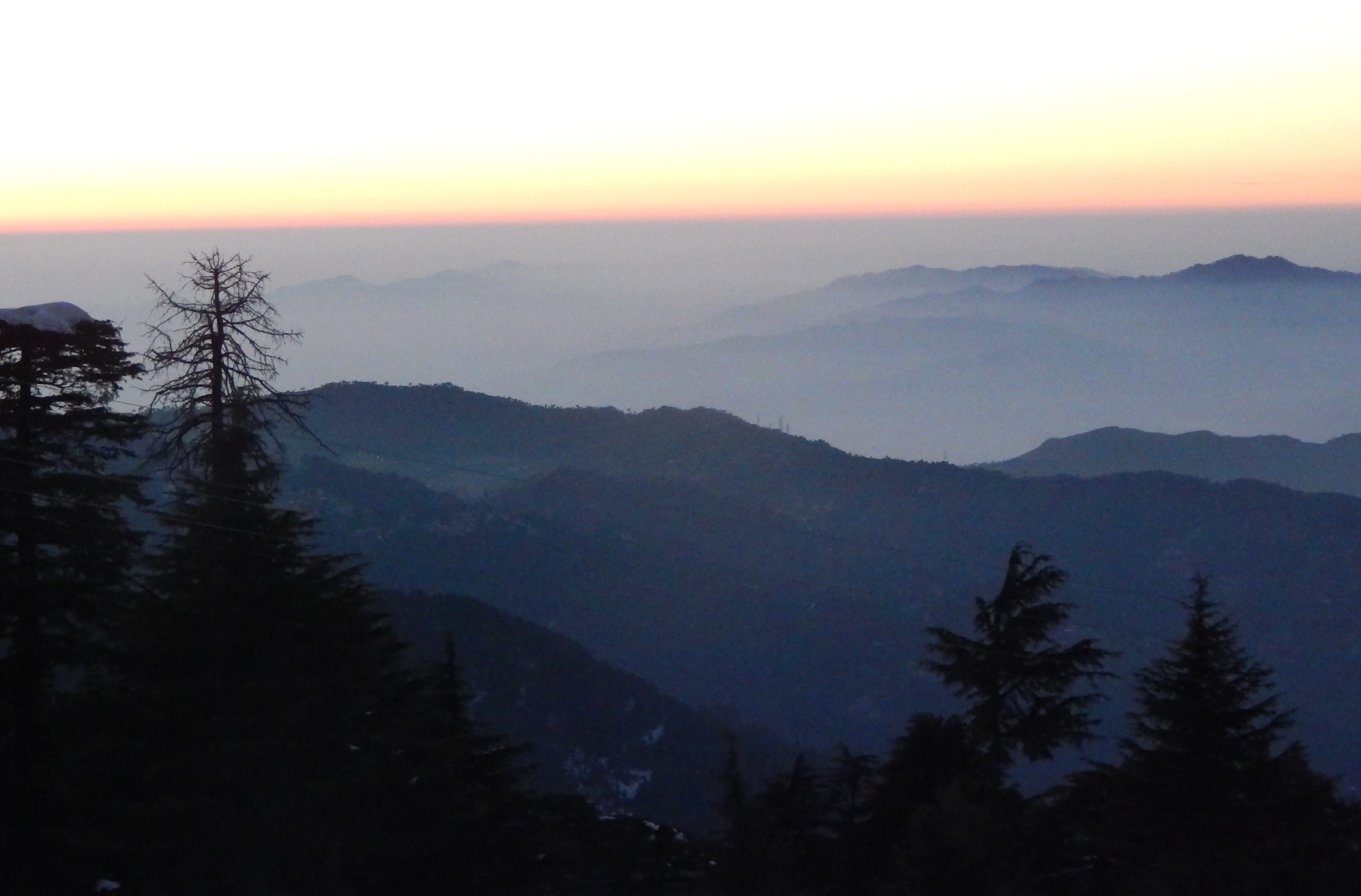
A hill station which lies about 152 west of Ranchi and about 279 km northwest of Jamshedpur, Netarhat is also referred to as the Queen of Chotanagpur. The town is famous for the Netarhat Residential School, set up in 1954. Netarhat is located in the Pat region of the Chota Nagpur Plateau. The Netarhat plateau is about 6.4 km long and 4 k broad and is covered with thick forest. Netarhat is known for its sunrises and sunsets during the summer months. Also known as the Queen of the Chotanagpur Plateau, Netarhat is the highest point of the Chotanagpur plateau.
Spread over an area of around 979 sq. km, out of which 232 sq. km is the main, Betla National Park is spread over hilly terrain and is one of the first of the nine tiger reserves that were established in India, but today tigers are sparse. An acronym for Bison, Elephant, Tiger, Leopard and Axis, Betla has a diversified ecosystem and is home to a huge variety of wildlife. The park was set up where the first tiger census was carried out in 1932 and was set aside as a protected area under the Indian Forests Act in 1947 and declared a wildlife sanctuary in 1973 and was declared a National Park in 1986. Inside the park are two historic forts of the Chero Kings, Purana Quila and Naya Quila. The forts are now deep inside the forest, but the main sentinel of the old fort is visible high on the hill with defences in three directions and three main gates. Private jeep safaris are available at the park gate and one will also have to hire a local guide. Two elephants provide elephant safaris costing INR 400 for up to 4 people for one hour which is an experience in itself. The Core Area Division runs a tourist bus on Saturday and Sunday for local tourists which covers Palamu Quila, the Kechki Confluence, Betla Park and then returns to Daltonganj. The also features waterfalls and hot springs. Open throughout the year, wildlife sightings are highest in the hot season between May to June when the foliage is not as thick. Betla village is the only entry point to the park.
The only sanctuary in India to protect wolves, the Mahudanr Wolf Sanctuary is located in the village of Mahudanr which lies in Chechari Valley about 60 km west of Netarhat. The Chechri Valley is surrounded by the Netarhat hills to the east, the Burha hills to the west, the Aksi hills on the north, and the Champa hills on the south making it one of the uniquely gorgeous valleys of the state. Located at a height of about 1968.5 feet and spread over an area of 63.256 sq km, Mahuadanr consists of 25 protected forests that share a common border with the state of Chattishgarh. It was given the status of a sanctuary on 23rd June 1976 by the Government of Bihar and is under the administration of the Betla National Park. The sanctuary was created to conserve the endangered Indian wolf. Ravines covered by thick bushes which are favoured by the wolves in making their dens.
The Upper Ghaghri Waterfalls are located about 4 km from Netarhat, set amidst a lush green valley. The Lower Ghaghri Waterfalls are located in a dense forest and fall from a height of 32 feet, about 10 km from Netarhat. The Lodh Falls are the highest waterfall in Jharkhand and are located about 70 km from Netarhat in a Sal forest. The Sadni Falls are located 35 km from Netarhat. The Suga Bandh Falls are situated about 70 km from Netarhat and is a local favourite picnic spot. Located about 10 km from Netarhat, Magnolia Point is known for its sunsets and is a popular viewing point. Sunrise Point at Netarhat is known for its sunrises. The Koel River View Point is located about 3 km from Netarhat. The Netarhat Residential School is a boarding school and one of the few modern Gurukuls left in India. Netarhat’s pine forests are ideal walking spots, slightly pleasanter than the town and used to be part of the governor’s permanent summer station.
It’s the end of another week, but I was not very happy this week. I have been pitching for new business, but got rejected from one place and ghosted from the other. This from what I thought was a sure-shot yes, which made me feel down for a couple of days. But I am better now. I moped for a couple of days and then have shrugged it off and will keep trying for new opportunities.
And this segues perfectly to today’s quote which is from the celebrated English author and social critic, Charles Dickens. He created some of the world’s best-known fictional characters and is regarded by many as the greatest novelist of the Victorian era. Dickens reminds us that when the sun rises, it is weak and only gathers strength and becomes more powerful as the day gets on. This means that we may seem weak and ineffectual in the beginning, but as we grow, so will our strengths and convictions and we will overcome all hurdles and difficulties in the end.
BB and GG are busy, GG with her internship and BB with his holidays. He has been working on his resume and LinkedIn profile in anticipation of applying for his internship which should be soon.
The heat is really bad and the worse part of the heat is the humidity that comes with living in a tropical country. Sometimes the humidity is so bad that even taking a breath is difficult. But that’s fodder for a new post that will come soon.
That’s all folks for this week. Take care and talk soon!
Breath: The New Science of a Lost Art – James Nestor
No matter what you eat, how much you exercise, how skinny or young or wise you are, none of it matters if you’re not breathing properly.
There is nothing more essential to our health and well-being than breathing: take air in, let it out, repeat twenty-five thousand times a day. Yet, as a species, humans have lost the ability to breathe correctly, with grave consequences.
Journalist James Nestor travels the world to figure out what went wrong and how to fix it. The answers aren’t found in pulmonology labs, as we might expect, but in the muddy digs of ancient burial sites, secret Soviet facilities, New Jersey choir schools, and the smoggy streets of Sao Paulo. Nestor tracks down men and women exploring the hidden science behind ancient breathing practices like Pranayama, Sudarshan Kriya, and Tummo and teams up with pulmonary tinkerers to scientifically test long-held beliefs about how we breathe.
Modern research is showing us that making even slight adjustments to the way we inhale and exhale can jump-start athletic performance; rejuvenate internal organs; halt snoring, asthma, and autoimmune disease; and even straighten scoliotic spines. None of this should be possible, and yet it is.
Drawing on thousands of years of medical texts and recent cutting-edge studies in pulmonology, psychology, biochemistry, and human physiology, Breath turns the conventional wisdom of what we thought we knew about our most basic biological function on its head. You will never breathe the same again.
Located about 104 km north of Ranchi, Hazaribagh is considered a health resort and is also popular for the Hazaribagh Wildlife Sanctuary which lies about 17 km from the city. Located in the Chhota Nagpur plateau about 2,000 m above sea level on the middle plateau, Hazaribagh is a beautiful place with dense forests and natural formations including rock formations and lakes.
Hazaribagh’s name is derived from two Persian words: Hazar meaning one thousand and bagh meaning garden and the town’s name means a city of a thousand gardens. In ancient times the district was covered with inaccessible forests inhabited by tribes that remained independent. The entire territory of Chhotanagpur, now known as Jharkhand was presumably beyond the pale of outside influence in ancient India. Throughout the Turko-Afghan period, up to 1526, the area remained virtually free from external influence and it was only with the accession of Emperor Akbar to the throne of Delhi in 1557 that Muslim influence penetrated Jharkhand, then known to the Mughals as Kokrah. After the death of Emperor Akbar in 1605, the area presumably regained its independence which necessitated an expedition in 1616 by Ibrahim Khan Fateh Jang, the Governor of Bihar and brother of Queen Noorjehan who defeated and captured Durjan Sal, the 46th Raja of Chotanagpur. In 1632, Chotanagpur was given as an endowment to the Governor at Patna for an annual payment of Rs.136,000 which was raised to Rs.161,000 in 1636. After the Kol uprising in 1831 the territories of Ramgarh, Kharagdiha, Kendi and Kunda became parts of the South-West Frontier Agency and were formed into a division with Hazaribagh as the administrative headquarters. In 1855-56 there was the great uprising of the Santhals against the British which was brutally suppressed. In 1912, a new province of Bihar and Orissa was split from Bengal Province and in 1936, the province was split into separate provinces of Bihar and Orissa, with the Chota Nagpur division being a part of Bihar. Bihar’s boundaries remained mostly unchanged after Indian Independence in 1947. In 2000, Jharkhand was separated from Bihar to become India’s 28th state. A small but effective Bengali community settled at Hazaribagh in the 19th century when the area was in Bengal Presidency.
The Hazaribagh National Park is one of the oldest wildlife sanctuaries in India, established in 1954 to conserve wildlife and provide a home for rare and endangered species of flora and fauna. The wildlife sanctuary’s landscape is full of steep hills, spectacular countryside, thick tropical forest and lovely meadows. Located about 19 km from Hazaribagh, the interiors of the park are very well-connected by internal roads of 111 km that allow animals to go about their daily business. Spread over an area of 184 sq km at an altitude of 615 m, the park did not get much tourist attention until 2007 when the deputy CM of the state announced the construction of a state-of-the-art elephant project that aimed at attracting more tourists.
The park is abode to a variety of rare and endangered flora and fauna including animals like the Sambar, Nilgai, Bison, Spotted deer, Cheetah, Wild Boar and Kakkar which can be easily seen at dawn and dusk, enjoying the water holes. If one is lucky, they might even see a sloth or a panther. At one time, Hazaribagh Wildlife sanctuary was famous for its enormous population of tigers, but now one would be lucky to catch a glimpse. The tiger population is fast dwindling and has been a matter of concern. According to the 1991 census, there were only 14 tigers in the park. The natural vegetation consists primarily of grass meadows and thick tropical forests with the entire area covered with Sal and other trees during the spring season. Plenty of water resources in small form rivers and artificial lakes also adorn the sanctuary. Many watchtowers facilitate wildlife watching built near water holes, that provide breathtaking top views. One can also take a jeep safari to explore the sanctuary which has a tribal hamlet inside. The safari can be done using a private vehicle or by hiring a jeep. For private vehicles, there is a nominal fee of INR 100. The park is open between 6 am and 8 pm and Indians need to pay an entry fee of INR 50 while foreigners will pay INR 100.
Canary Hills is an ideal escape from bustling city life. As one climbs up the hill walking past a dense forest filled with lush greenery and a lake they will reach a spot that has a magnificent view of the eastern Hazaribagh. One can also drive to the hill to a rest house and view the western part of Hazaribagh which is the main town. Hazaribagh Jheel or Lake is a famous local picnic spot divided into four parts with the third lake having the best views of sunrise and sunset. Just 6 km from Hazaribagh in the village of Kahapriama, is a famous temple dedicated to Lord Narsimha, an incarnation of Lord Vishnu and is known as Narsimhasthan. The beautiful temple also has a Shivalingam.
119 km northeast of Ranchi and about 130 km southeast of Hazaribagh, Bokaro is officially known as Bokaro Steel City is the fourth largest and most populous city in the state. One of India’s planned cities, it is located on the banks of the Garga River and the fringes of the Bokaro River, surrounded by the hill ranges in the Giridih and Ramgarh districts.
Marafari is the oldest settlement in Bokaro which was just a village during the time of the Mughals and various sultanates. India’s first Global Active City or GAC, Bokaro has emerged as a commercial, industrial, healthcare, sports, educational, and startup hub. The city is filled with lakes, greenery, and beautiful parks and has a significant Bengali influence because it is close to the state’s border with West Bengal.
Established in the 1980s, the Jawaharlal Nehru Biological Park became famous for its rare collection of big cats such as the white tigers and the Asiatic lions but due to a lack of adequate infrastructure, some of them had to be moved to zoos in other parts of the world. The zoo houses many species of animals and plants and also has a toy train and a boating facility in its artificial lake. One giant artificial lake and three artificial islands along with some amazing greenery are what constitute the City Park of Bokaro which also has many boating activities. The River Garga is a tributary of the Damodar River that flows on the southern parts of the city of Bokaro. A dam was constructed on it in the 1950s to make it the first such river valley project in the country. Known as the Garga Dam, power is generated from the dam, and the water is used for Bokaro’s use.
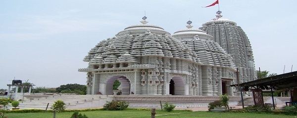
Named after the 23rd Tirthankara of the Jains, Parasnath is a popular Jain pilgrimage centre. It is believed that 20 out of 24 Teerthankars have attained their deliverance here on the highest peak in this range, Sammet Sikhar. There are as many as 20 temples here, some of which were built more than 2000 years ago. The Rajrappa temple on the confluence of the Damodar and Bhairavi rivers is influenced by the Tantric style of architecture and is a major pilgrimage site.
India’s largest iron and steel complex, Bokaro Steel Plant is regarded as the country’s first Swadeshi Steel Plant with maximum investment going into materials, equipment and R & D. The plant was conceived as to grant the country freedom from dependency on foreign sources to induce a measure of confidence and self-reliance. The plant was the country’s first indigenous project of its kind that utilised local material, manpower, and intellectual resources in all places possible. Located along the Damodar River, the plant is famous for its tours where one can witness all the processes involved in the manufacture of steel.