Travel Bucket List: India – Consolidated List of all States

As I started planning my travel, I started relying on my research for where to go and found it slightly ungainly to search through all the material I have to reach a specific destination. So here’s a consolidated list of all Indian states, in alphabetical order with the cities and towns next to each part which makes it easier to get to the place you are interested in.

Photo by Ravigopal Kesari on Unsplash

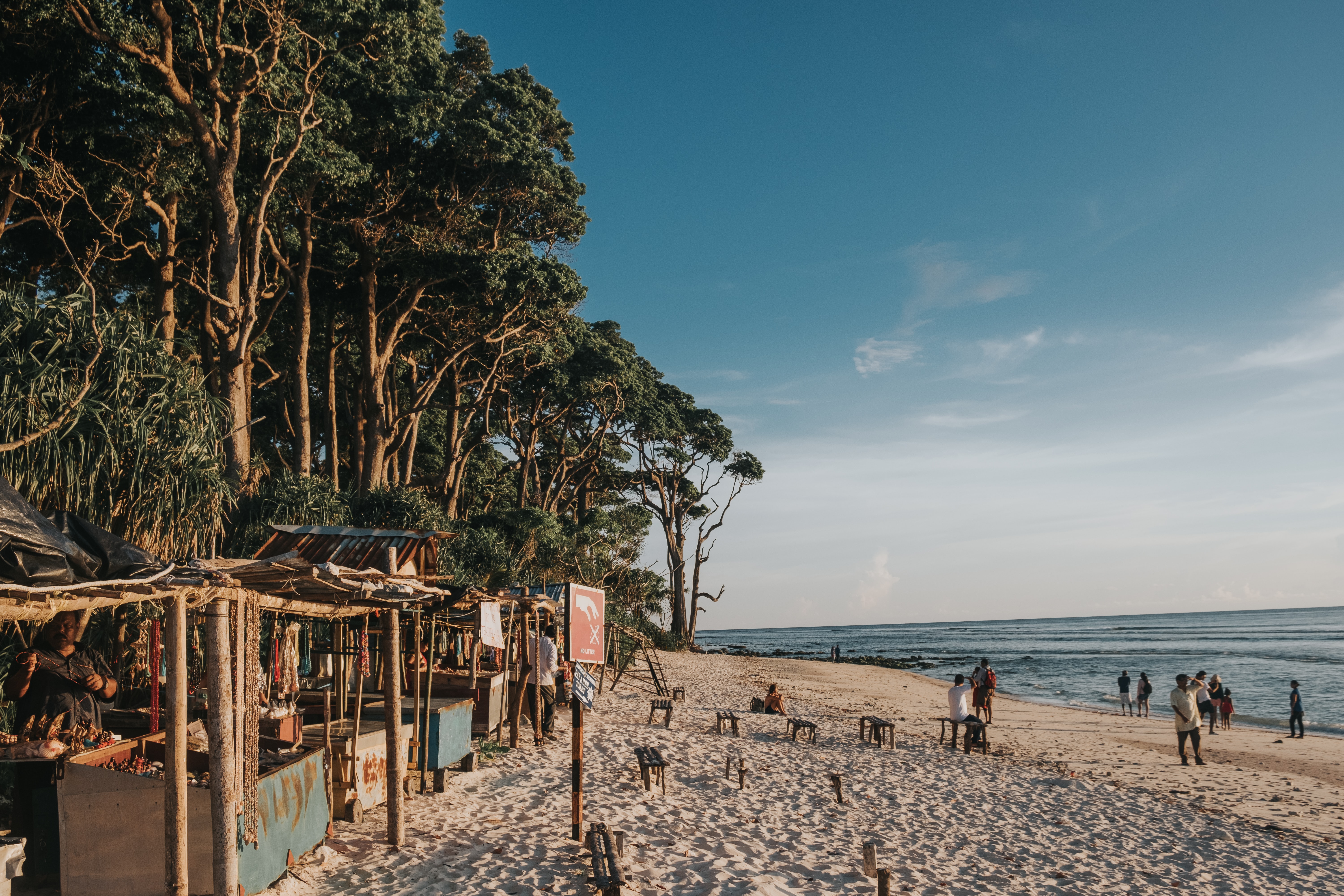
Andaman and Nicobar Islands
Part 1 – Introduction and Overview
Part 2 – Port Blair
Part 3 – Corbyn’s Cove Beach, Wandoor Beach, Viper Island, Ross Island, North Bay Island, Red Skin Island, Middle Andaman Island, Long Island, Baratang Island, Parrot Island, North Passage Island, Guitar Island
Part 4 – Aves Island, North Andaman Island, Diglipur, Stewart Island, Ross & Smith Island, Jolly Buoy Island, Havelock Island
Part 5 – Neil Island, South Andaman Island, Rutland Island, Little Andaman Island, Cinque Island, Barren Island, Narcondom Island, Kathchal Island, Campell Bay & Indira Point
Part 6 – Mahatma Gandhi Marine National Park, Chidiya Tapu, The Chidiya Tapu Biological Park, Mount Harriet National Park, Saddle Peak National Park, Campbell Bay National Park, Galathea National Park, Middle Button Island National Park, North Button Island National Park, South Button Island National Park

Photo by Gowrisha CV on Unsplash

Andhra Pradesh
Part 1: Introduction and Overview, Vishakhapatnam
Part 2: Araku Valley, Vizianagaram, Annavaram, Samalkot, Kakinada, Rajahmundry
Part 3: Amaravathi, Vijayawada, Machilipatnam
Part 4: Guntur, Chirala, Nagarjunakonda, Srisailam, Cumbum, Nellore
Part 5: Kurnool, Mantralayam, Gandikota, Tadipatri, Anantapur, Puttaparthi
Part 6: Lepakshi, Horsley Hills, Chittoor, Srikalahasthi, Tirupati

Photo by Mayur More on Unsplash

Arunachal Pradesh
Part 1: Introduction and Overview, Itanagar, Bhalukpong
Part 2: Bomdila, Tawang
Part 3: Ziro, Yinkiong, Mechuka, Roing, Tirap
Part 4: Khonsa, Changlang, Miao, Anini, Pasighat, Aalo, Daporijo, Anjaw, Tezu

Photo by Nilotpal Kalita on Unsplash

Assam
Part 1: Introduction and Overview, Guwahati, Dispur
Part 2: Kokrajhar, Bongaigaon, Goalpura, Barpeta, Nalbari, Hajo, Sualkuchi
Part 3: Darrang, Mayong and Morigaon, Nagaon, Tezpur, Jorhat
Part 4: Sivasagar, Majuli, Dhemaji, Dibrugarh, Tinsukia, Digboi
Part 5: Sadiya, Haflong, Jatinga, Diphu, Karimganj, Hailakandi, Silchar
Part 6: Raimona National Park, Manas National Park, Orang National Park, Kaziranga National Park, Nameri National Park, Dibru Saikhowa National Park, Dihing Patkai National Park

Photo by ARTO SURAJ on Unsplash

Bihar
Part 1: Introduction and Overview
Part 2: Patna
Part 3: Hajipur, Nalanda
Part 4: Rajgir, Sasaram, Kaimur
Part 5: Bodh Gaya, Vaishali
Part 6: Muzzafarpur, Sitamarhi, Madhubani, Lauriya Nandangarh, Bhagalpur, Valmiki National Park Tiger Reserve and Wildlife Sanctuary

Photo by Ayiman Mohanty on Unsplash

Chhattisgarh
Part 1: Introduction and Overview, Raipur, Champaran
Part 2: Bhilai, Durg, Rajnandgaon, Chirmiri, Madku Dweep, Bhoramdeo Temple, Guru Ghasidas National Park
Part 3: Achanakmar Tiger Reserve, Bilaspur, Raigarh, Korba, Ambikapur, Barnawapara Wildlife Sanctuary, Mainpat, Malhar
Part 4: Mahasamund, Sirpur, Rajim, Jagdalpur, Dhamtari, Dhamtari, Dantewada, Kanger Ghati National Park

Dadra and Nagar Haveli and Daman and Diu
Part 1: Introduction and Overview, Daman
Part 2: Diu
Part 3: Dadra and Nagar Haveli

Delhi
Part 1: Introduction and Overview, India Gate, Red Fort, Qutub Minar, Jantar Mantar, Rajghat
Part 2: Iron Pillar, National War Memorial, Rajpath, Rashtrapati Bhavan, Agrasen Ki Baoli, Ghalib Ki Haveli, Alai Darwaza/Minar, Bhool Bhulaiya ka Mahal, Purana Qila,
Part 3: Tughlaqabad Fort. Siri Fort, Feroza Kotla Fort, Swaminarayan Akshardham Temple, ISKON Mandir, Birla Temple, Chhatrapur Temple, Kalkaji Temple, Kali Bari Temple, Yogmaya Temple, Sri Digambar Jain Lal Mandir, Lotus Temple
Part 4: Jama Masjid, Quwwat-ul-Islam Mosque, Fatehpuri Masjid, Jamali Kamali Mosque and Tomb, Nizamuddin Dargah, Humayun’s Tomb, Safdarjung’s Tomb, Isa Khan’s Tomb, Hijron ka Khanqah, Nicholson Cemetery
Part 5: Gurudwara Bangla Sahib, Gurudwara Sis Ganj Sahib, Rakab Ganj Gurdwara, Sunder Nursery, Lodhi Gardens, Garden of Five Senses, National Rose Garden, Mehrauli Archaeological Park, Pradhanmantri Sangrahalaya, National Museum, Nehru Memorial Museum and Library, Rashtrapati Bhavan Museum, Indian War Memorial Museum, National Handicrafts Museum
Part 6: Indira Gandhi Memorial Museum, Sanskriti Museums, Charkha Museum, Sulabh International Museum of Toilets, Shankar’s International Dolls Museum, Museum of Archaeology, National Railway Museum, Museo Camera, National Gallery of Modern Art, Kiran Nadar Museum of Art, Museum of Illusions, National Zoological Park, National Bal Bhavan, Connaught Place, Chandni Chowk, Dilli Haat, Sarojini Market, Lajpat Nagar, Majnu ka Tila, Pragati Maidan

Photo by Sarang Pande on Unsplash

Goa
Part 1: Introduction and Overview
Part 2: North Goa, Vagator Beach, Anjuna Beach, Calangute Beach, Sinquerim Beach, Candolim Beach, Arambol Beach, Mandrem Beach, Morjim Beach, Miramar Beach, Siridao Beach, Bogdeshwara Temple, Mangeshi Temple, Mahalaxmi Temple, Fort Aguada, Chapora Fort, Reis Magos Fort, Basilica of Bom Jesus, Church of Our Lady of Immaculate Conception, Chapel of St. Catherine, Church of Mae De Deus, Goa State Museum, Houses of Goa Museum, Museum of Christian Art, Casino Palms, Chorao Island, Harvalem Waterfalls
Part 3: South Goa, Butterfly Beach, Betalbatim Beach, Agonda Beach, Mobor Beach, Hollant Beach, Palolem Beach, Cansaulim Beach, Colva Beach, Talpona Beach, Kakolem Beach, Benaulim Beach, Our Lady of Remedios Church, Saviour of the World Church, St. Alex Church, Shantadurga Temple, Tambdi Surla Mahadev Temple, Chandreshwar Bhoothnath Temple, Naval Aviation Museum, Goa Chitra Museum, Big Foot Museum, The Grande Island, Pequeno Island, Bhagwan Mahaveer Wildlife Sanctuary, Netravali Wildlife Sanctuary, Cotigao Wildlife Sanctuary, Dudhsagar Falls, Bamanbudo Waterfalls, Netravali Bubbling Lake, Cabo de Rama Fort, Chandor

Gujarat
Part 1: Introduction and Overview
Part 2: Surat, Vapi, Udvada, Valsad, Bilimora, Navsari, Bharuch, Saputara
Part 3: Ahmedabad, Lothal, Vadodara, Anand
Part 4: Gandhinagar, Patan, Mehsana, Palanpur
Part 5: Rajkot, Jamnagar, Dwarka, Porbandar, Junagadh, Bhavnagar, Palitana,
Part 6: Kutch, Bhuj, Mandvi, Rann of Kutch, Anjar

Photo by Sooraj Dev on Unsplash

Haryana
Part 1: Introduction and Overview, Gurugram, Manesar, Sohna
Part 2: Faridabad, Nuh, Murthal, Rohtak, Meham
Part 3: Hisar, Panipat, Karnal
Part 4: Kurukshetra, Ambala
Part 5: Panchkula, Morni Hills, Narnaul
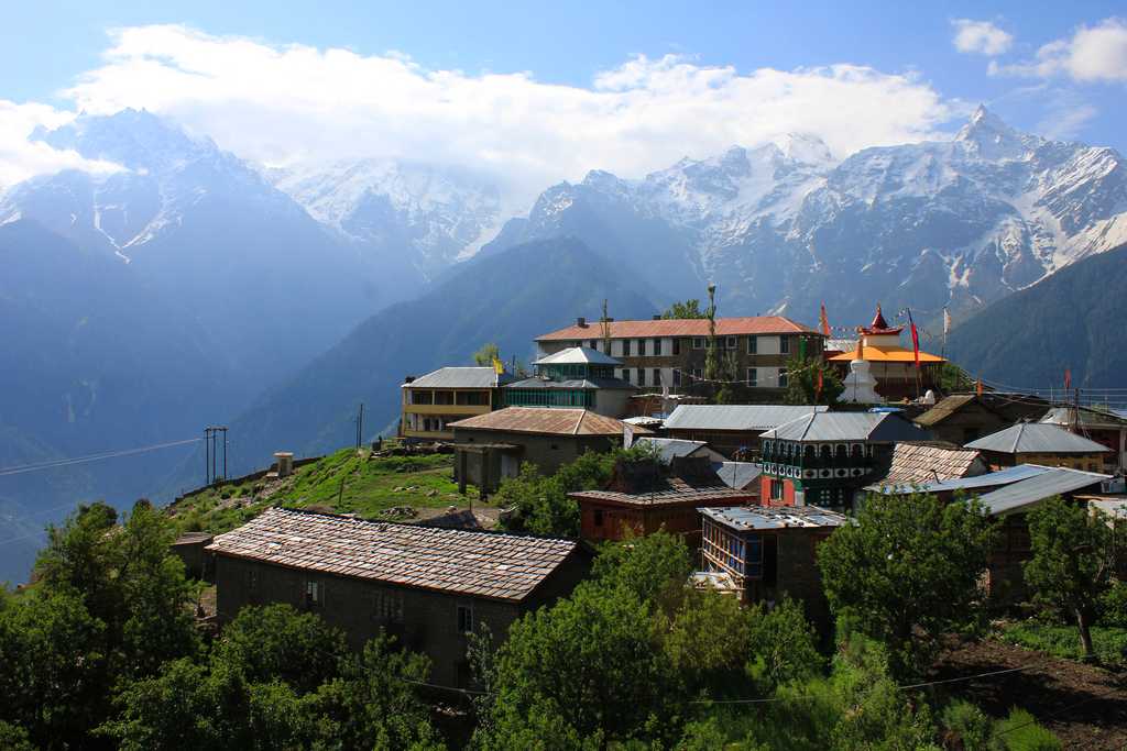
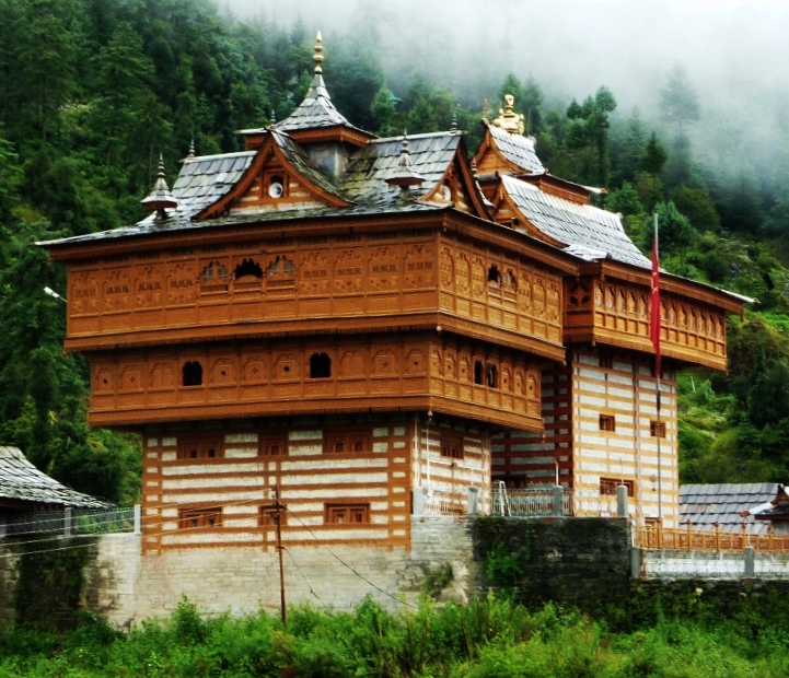
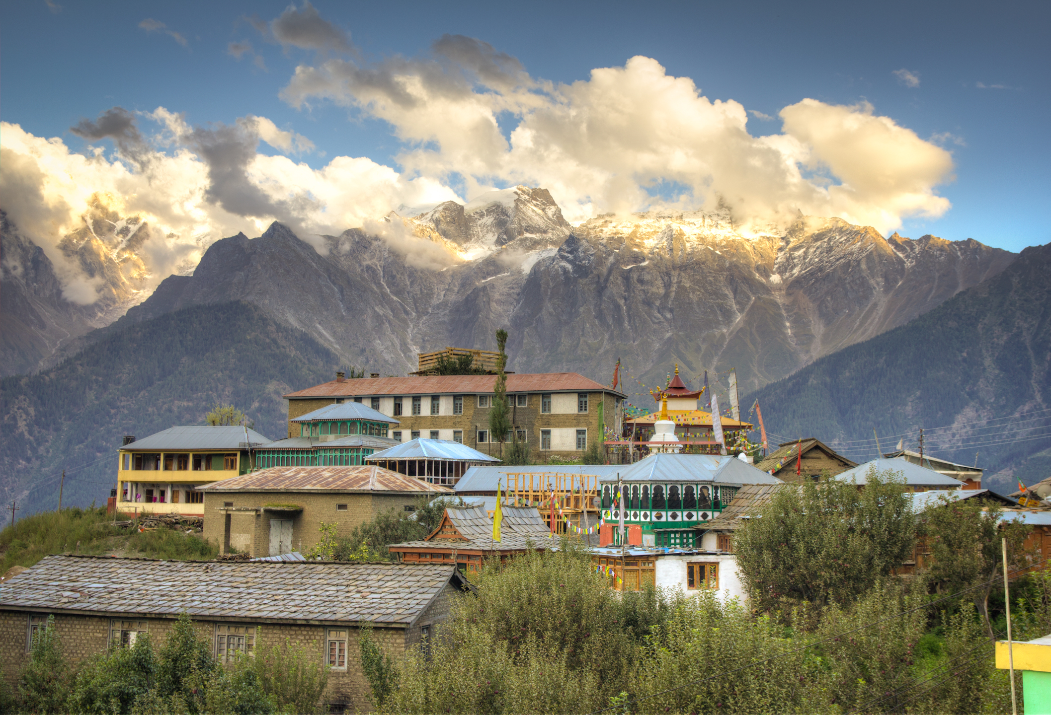
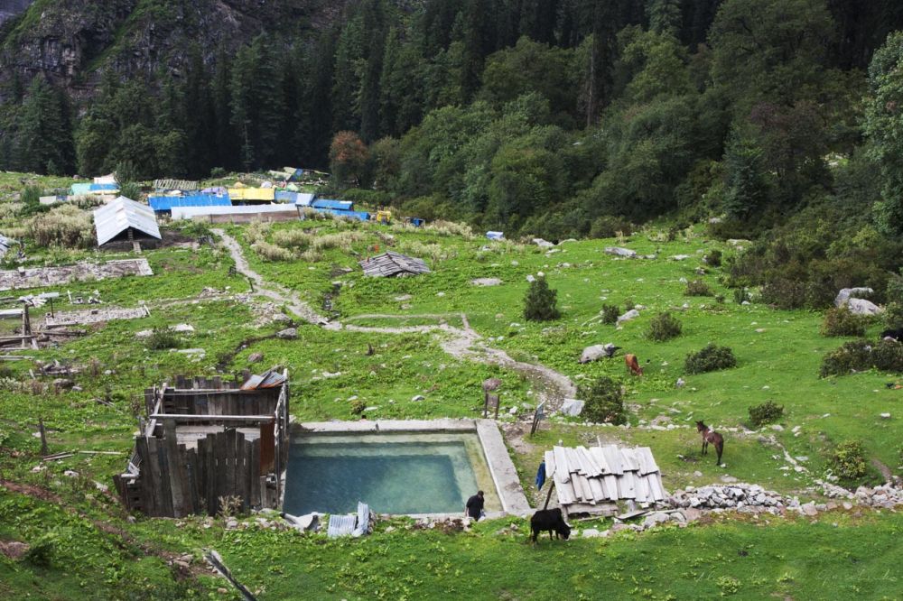
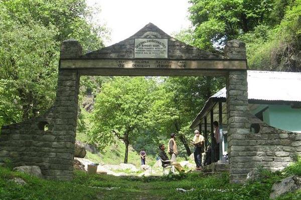
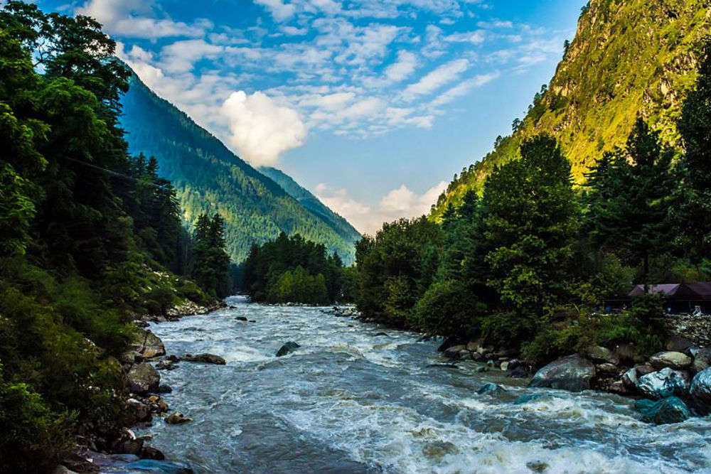
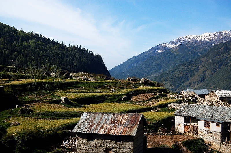
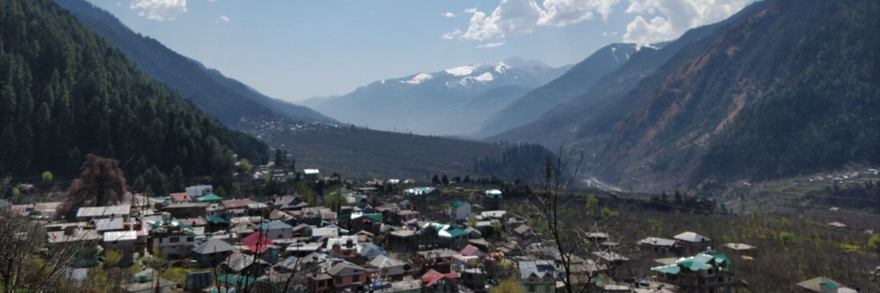
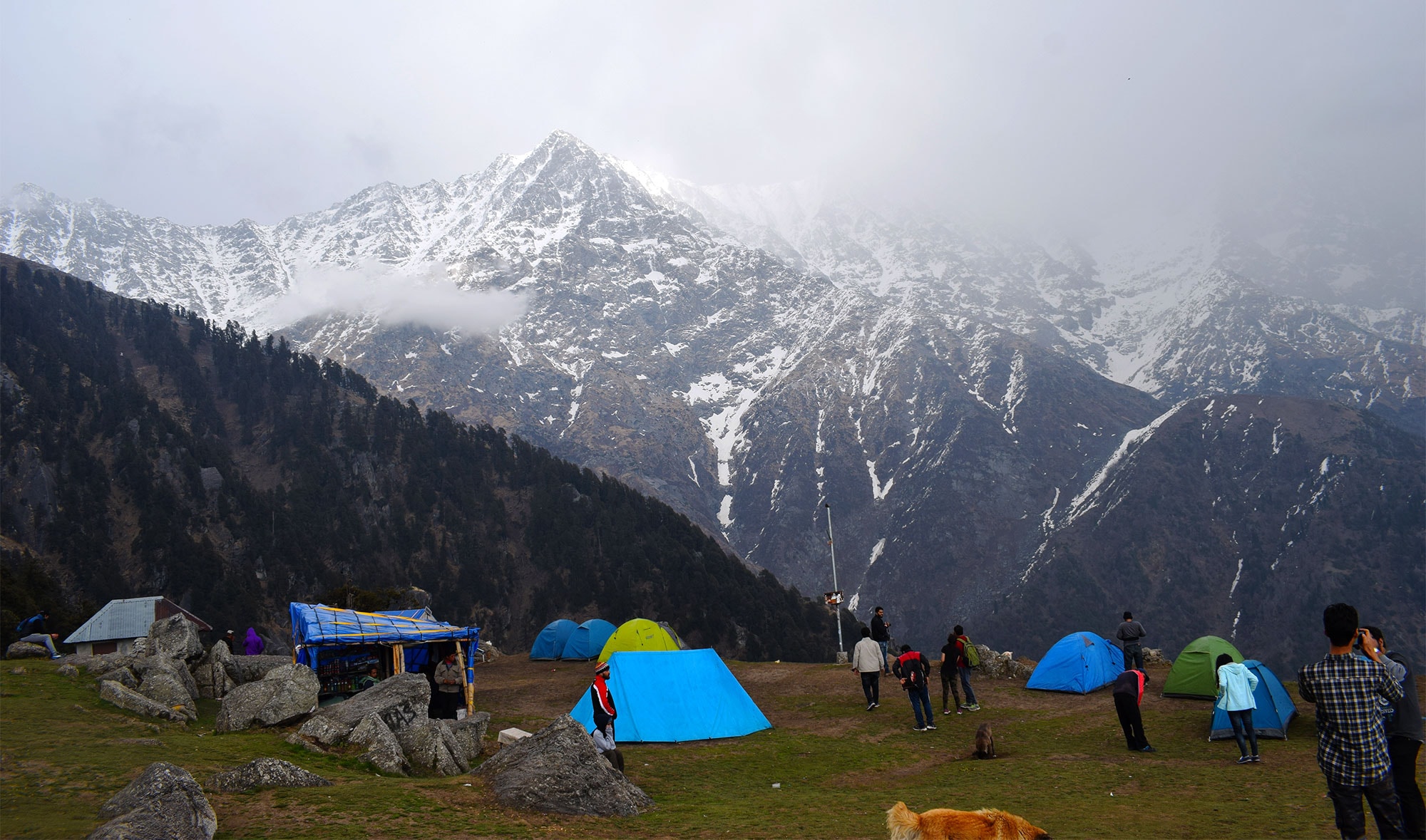
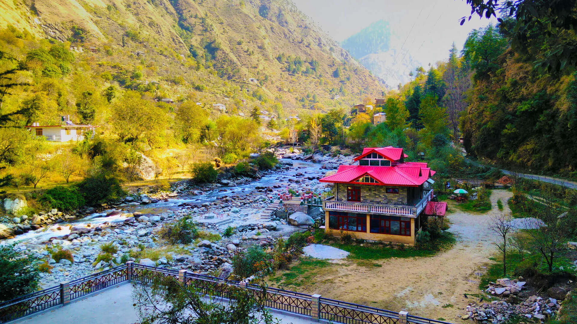
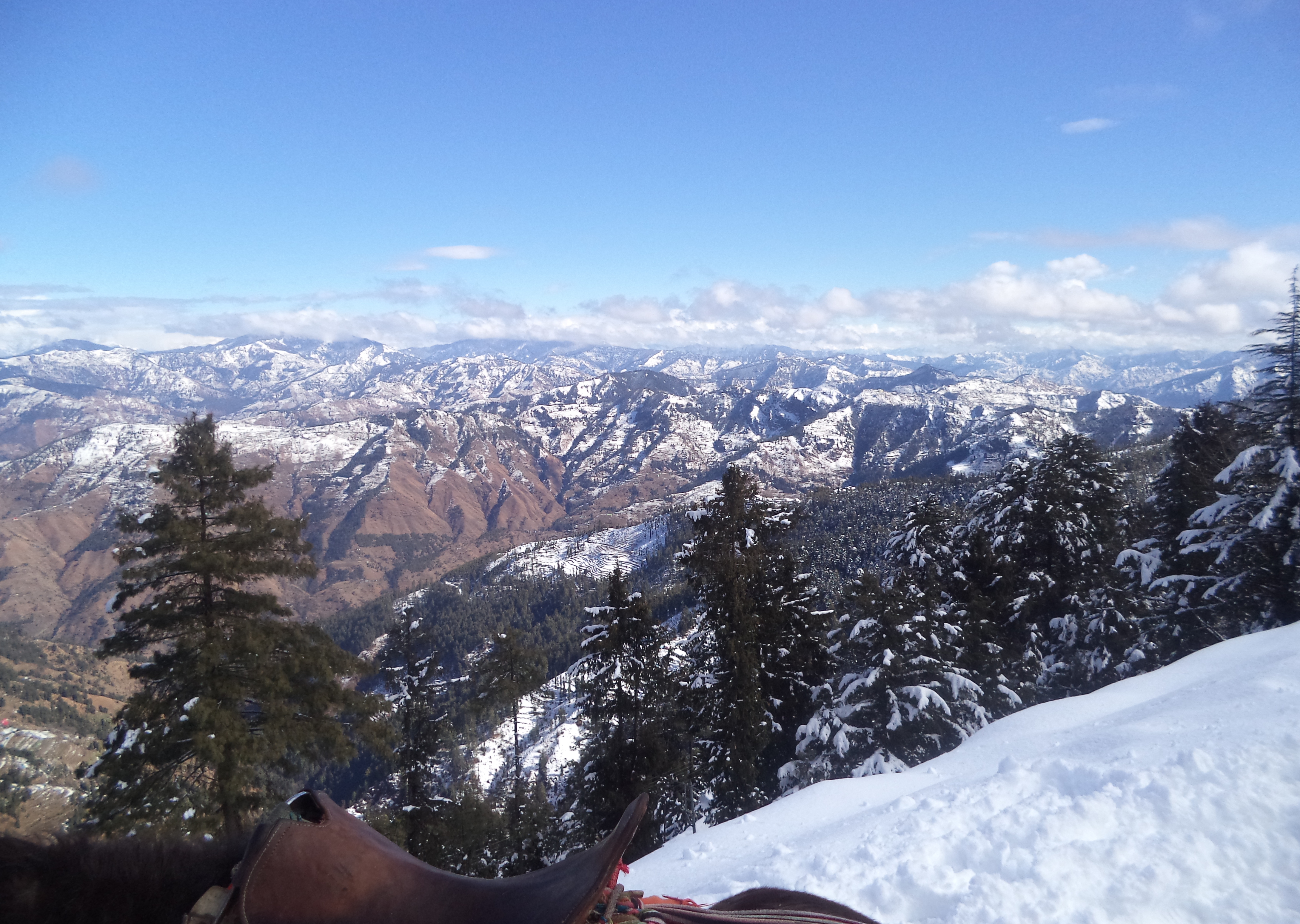
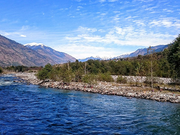
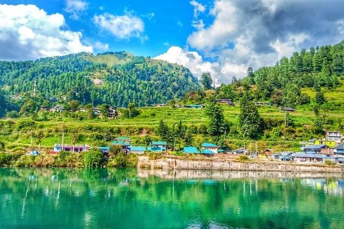
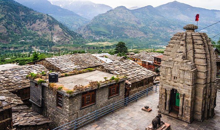
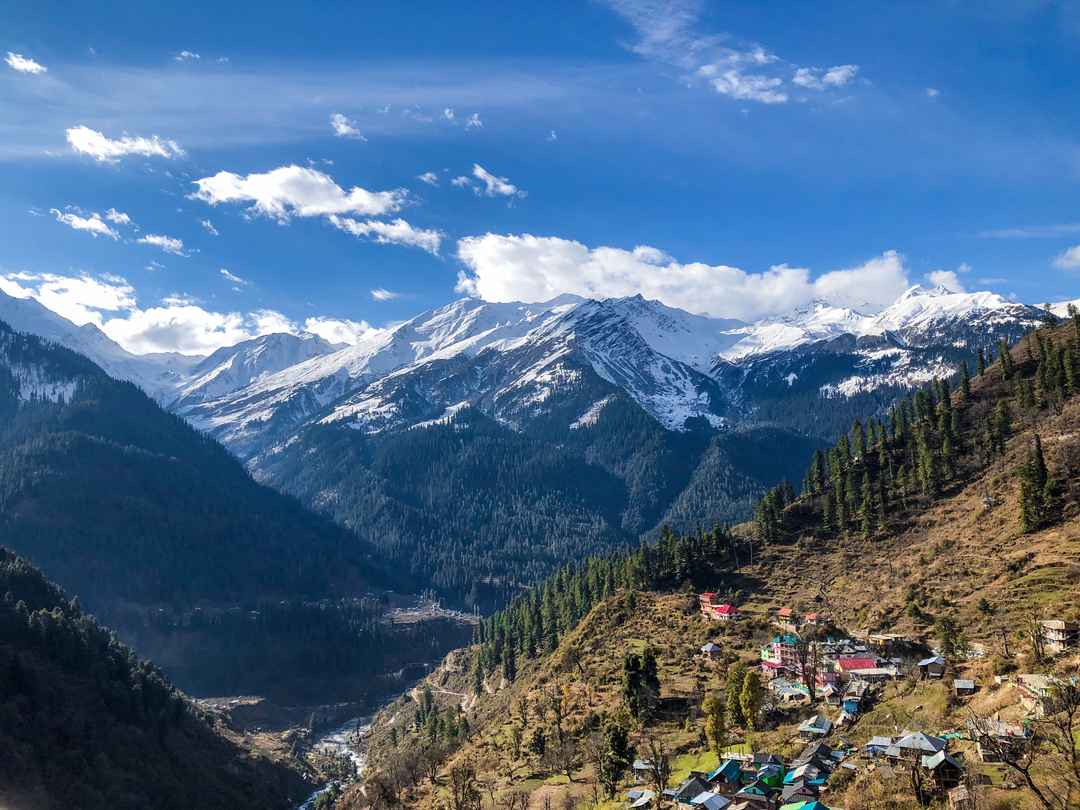
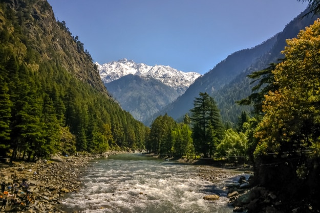
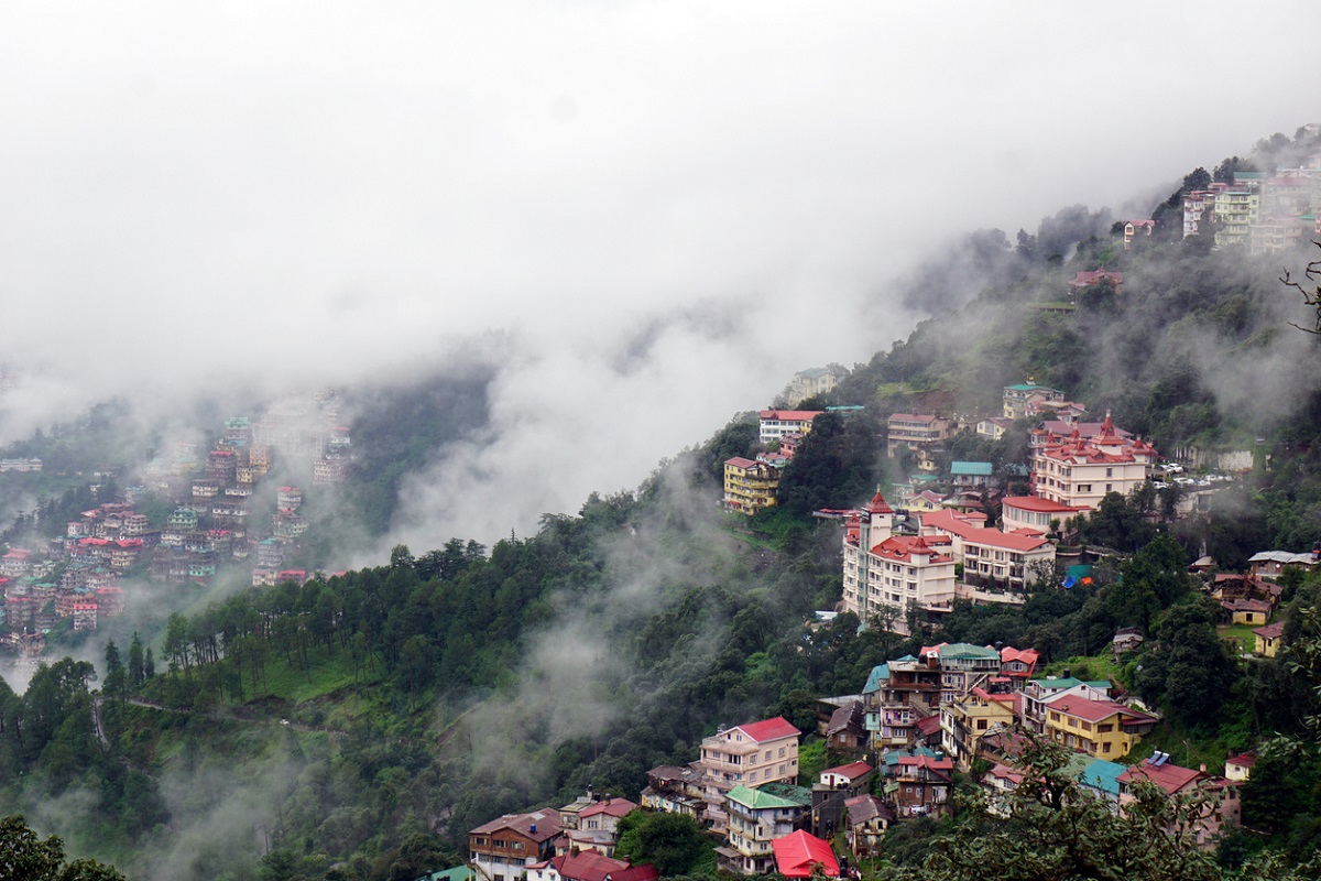
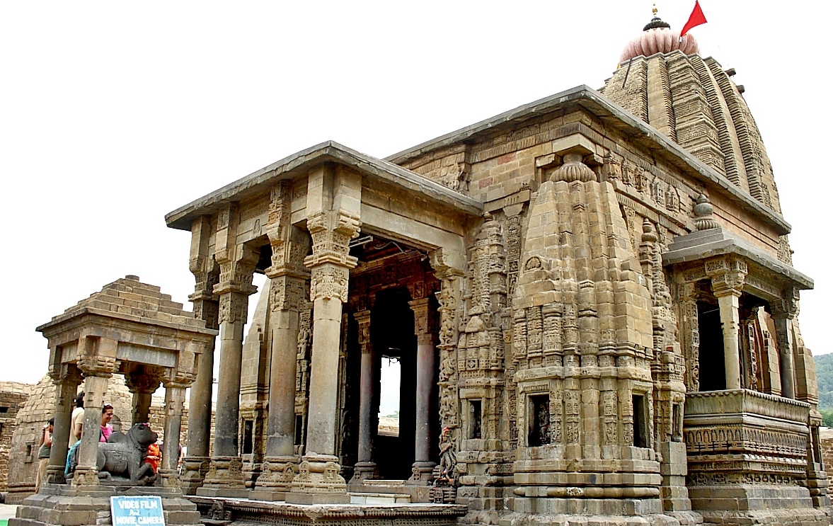
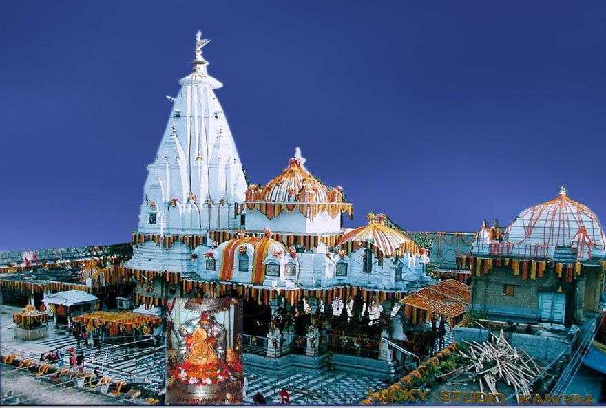
Photo by Naman Pandey on Unsplash

Himachal Pradesh
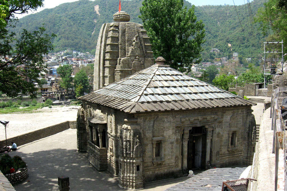
Part 1: Introduction and Overview, Shimla, Kufri, Fagu, Theog, Hatkoti Valley, Chanshal Valley
Part 2: Chail, Solan, Barog, Nahan, Sirmour, Paonta Sahib, Shoghi, Kasauli, Arki, Nalagarh, Dadasiba, Bilaspur, Dalhousie,
Part 3: Kangra, Khajjiar, Bharmour, Chamba, Tattapani, Jalori Pass, Jibhi, Mandi
Part 4: Trithan Valley, Bhuntar, Sainj Valley, Barot, Bir Billing, Palampur, Kasol, Nagar, Manikaran Sahib, Tosh, Parvati Valley
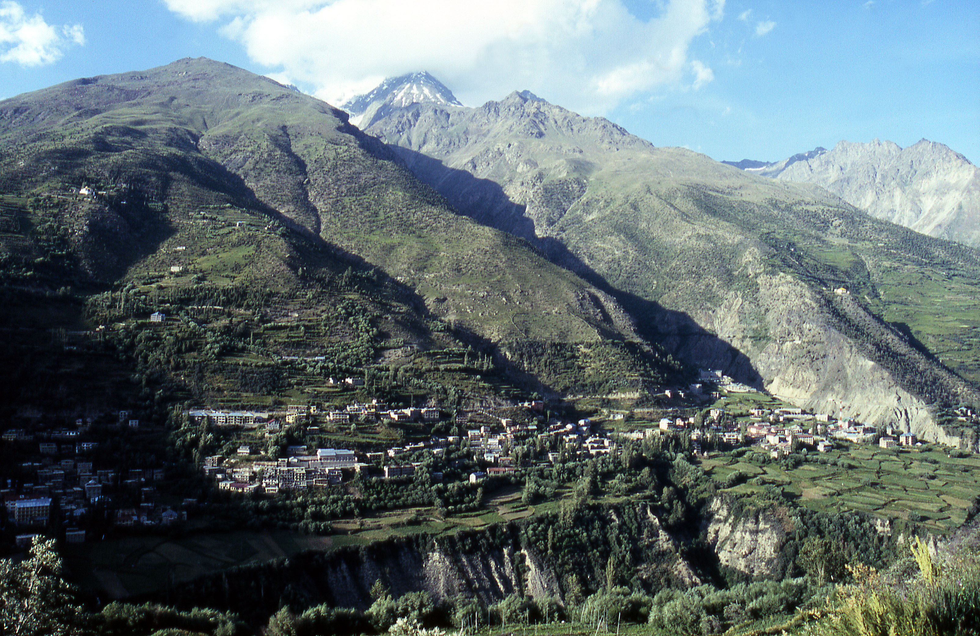
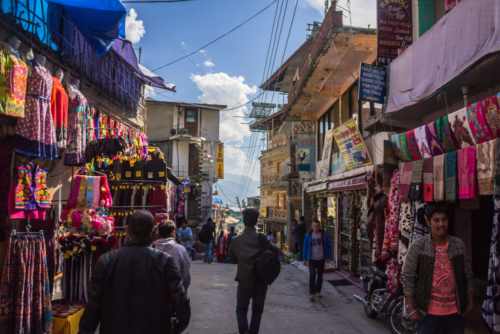
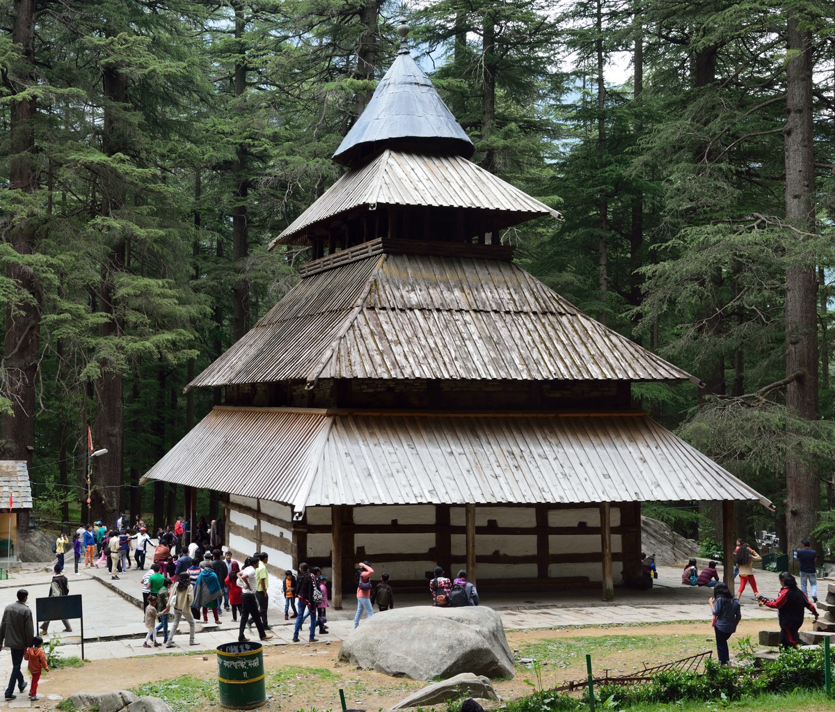
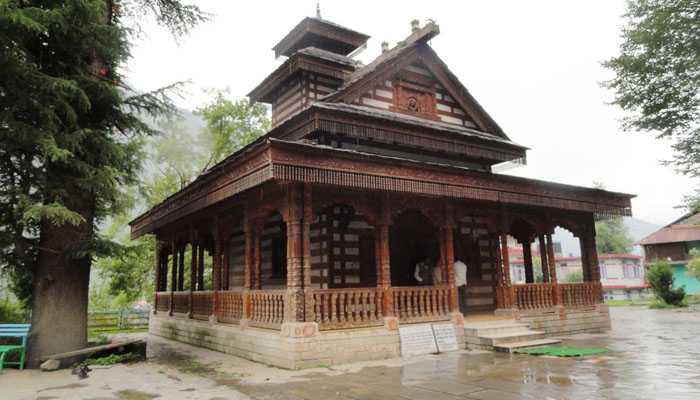
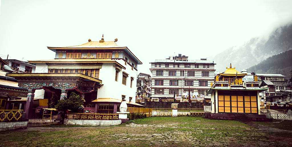
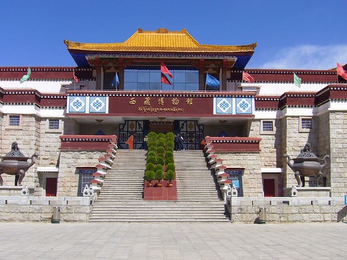
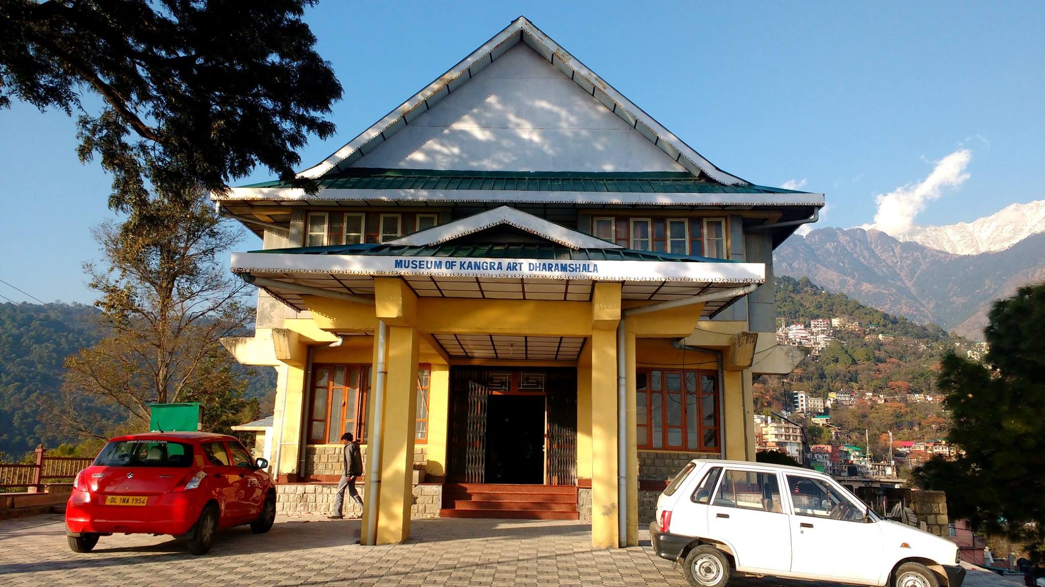
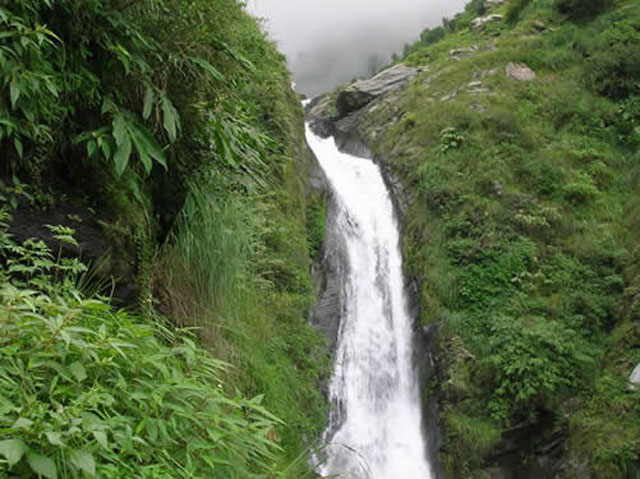
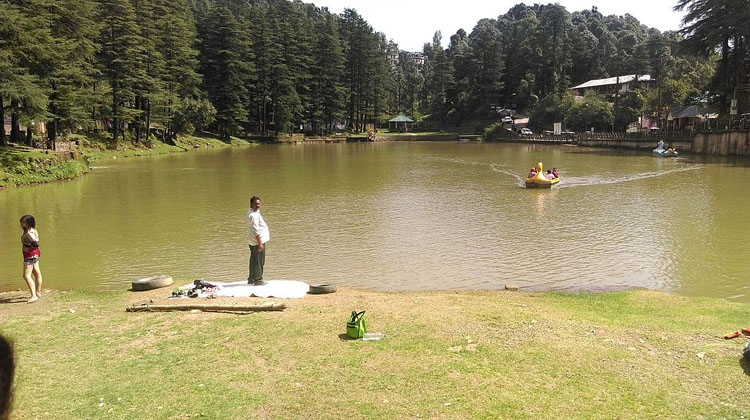
Part 5: Kullu, Manali, Dharamsala, McLeodganj
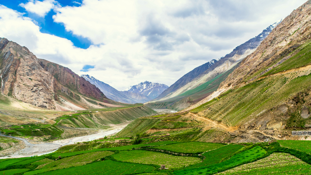
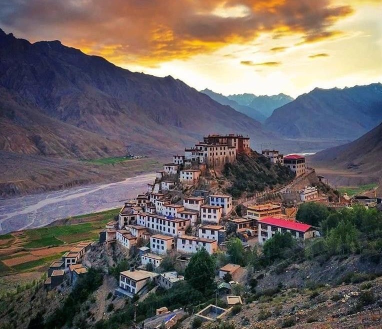
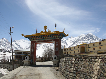
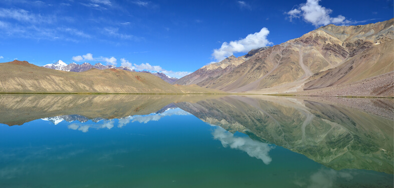
Part 6: Keylong, Pin Valley National Park, Spiti Valley, Narkanda, Mashroba, Kinnaur, Sarahan, Sangla Valley, Kalpa, Pangi Valley, Nako

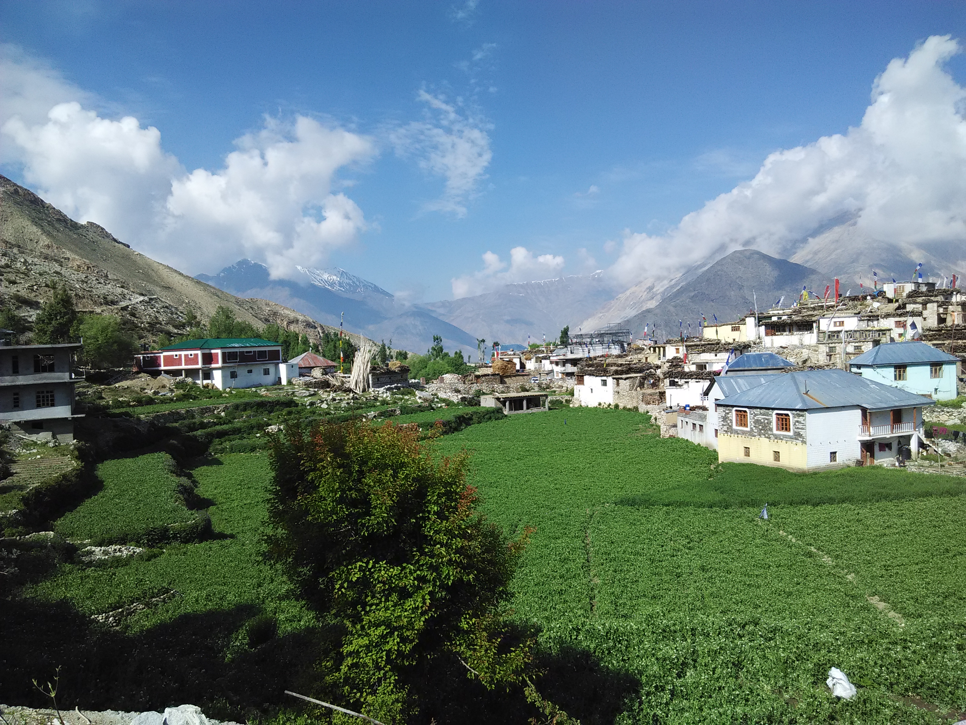
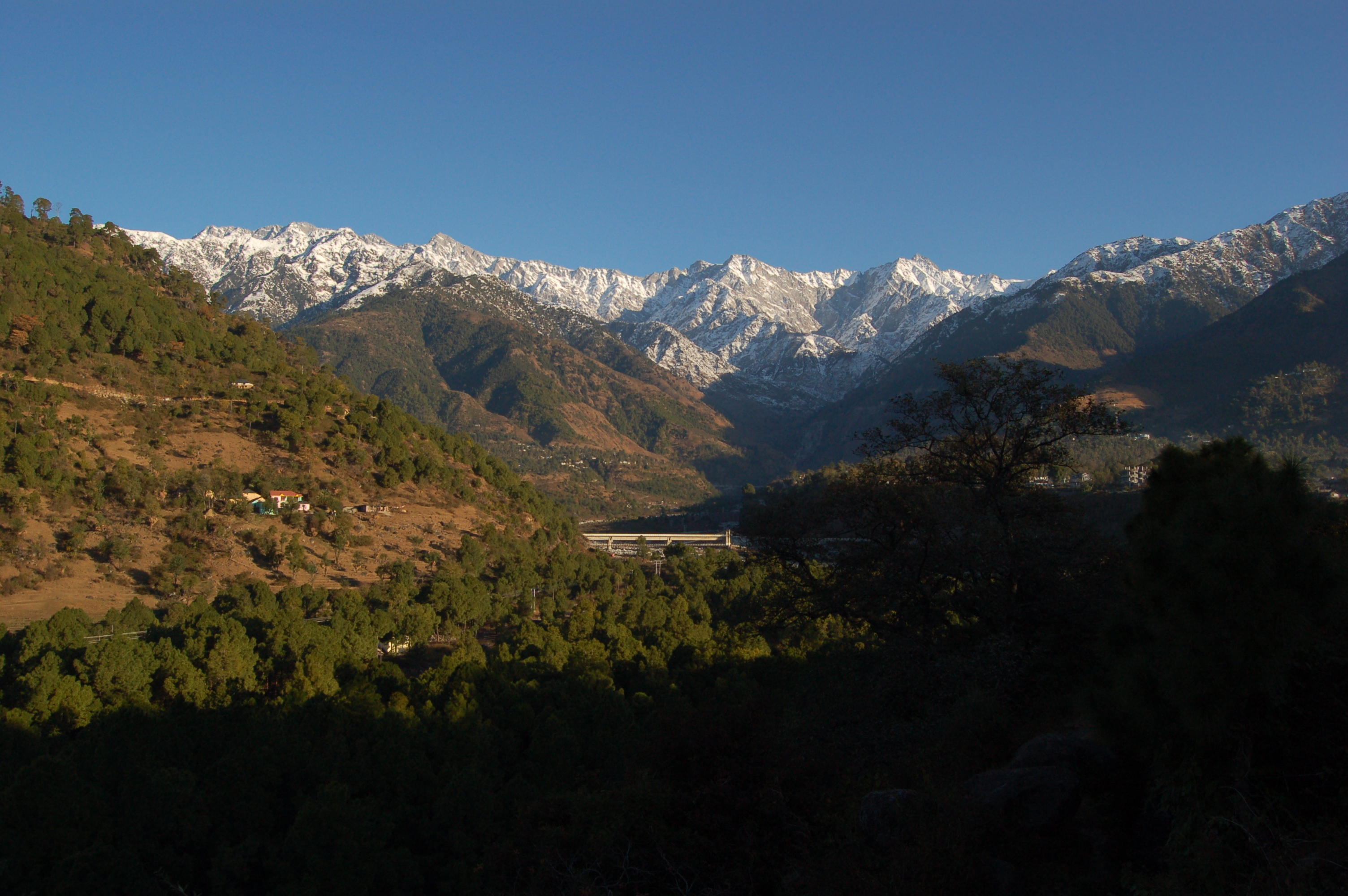
Jammu & Kashmir and Ladakh
Part 1: Introduction and Overview, Kashmir, Srinagar, Gulmarg, Sonmarg, Pahalgam, Amarnath, Pulwama, Kupwara, Poonch, Anantnag, Baramulla, Dachigam National Park
Part 2: Jammu, Patnitop, Rajouri, Udhampur, Kathua, Katra, Vaishno Devi, Kishtwar
Part 3: Ladakh, Leh, Leh Palace, Thiksey Gompa, Pangong Lake, Magnetic Hill, Nubra Valley and Khardung La Pass, Kargil, Drass, Hemis High Altitude Wildlife Sanctuary, Lamayuru, Lake Tso Moriri

Photo by Aryan Singh on Unsplash

Jharkhand
Part 1: Introduction and Overview, Ranchi
Part 2: Hazaribagh, Bokaro Steel City
Part 3: Jamshedpur, Neterhat
Part 4: Dhanbad, Shikarji, Deoghar, Dumka

Karnataka
Part 1: Introduction and Overview
Part 2: Bengaluru
Part 3: Mysuru, Mangalore, Belgaum
Part 4: Hubli-Dharwad, Gulbarga, Bidar, Badami, Bijapur, Hassan, Shimoga, Hampi, Sharavathi Valley Wildlife Sanctuary, Bhadra Wildlife Sanctuary, Brahmagiri Wildlife Sanctuary, Nagarhole National Park, Bandipur National Park, Ranganathittu Bird Sanctuary, Jog Falls, Shivanasamudra Falls, Kodasalli Backwater
Part 5: Coorg, Chikmagalur, Sakleshpur, Kudremukh, Kemmanagundi, Kotagiri, Masinagudi, Devarayanadurga, Karwar, Devbagh, Kumta, Netrani Island, Murudeshwar, Maravanthe, St. Mary’s Island, Udipi
Part 6: Udipi, Kollur, Sringeri, Dharmasthala, Horanadu, Talakadu, Belur, Shravanbelagola, Gokarna, Murudeshwar, Koodli, Srirangapatna, Pattadakal, Aihole, Kalasa

Kerala
Part 1: Introduction and Overview
Part 2: Kasaragod, Kannur, Kozhikode
Part 3: Wayanad, Mallapuram, Palakkad
Part 4: Thrissur, Ernakulam, Alappuzha
Part 5: Kottayam, Idukki, Patanamthitta
Part 6: Kollam, Tiruvanathapuram

Photo by Sachin Benny on Unsplash

Lakshadweep Islands
Part 1: Introduction and Overview
Part 2: Aminidivi, Cora Divh, Sesostris Bank, Bassas de Pedro, Cherbaniani Reef, North Islet, Byramgore Reef, Chetlat Island, Bitra Par, Kilthan Island, Kadmat Island, Kadmat Beach, Elikalpeni Bank, Perumal Par, Amini Island
Part 3: Laccadive, Amindivi, Agatti Island, Bangaram, Pakshipitti, Andrott Island, Kavaratti, Kalpeni, Suheli Par
Part 4: Minicoy, Maliku Atoll, Investigator Bank, Viringili

Madhya Pradesh
Part 1: Introduction and Overview
Part 2: Bhopal
Part 3: Indore, Ujjain, Alampur
Part 4: Maheshwar, Omkareshwar, Mandu, Burhanpur
Part 5: Chanderi, Shivpuri, Orchha, Khajurao
Part 6: Gwalior, Jabalpur, Bhedaghat, Panchmarhi, Amarkantak, Bandhavgarh National Park, Kanha National Park, Pench National Park

Photo by Raj Rana on Unsplash

Maharashtra
Part 1: Introduction and Overview, Mumbai
Part 2: Pune
Part 3: Matheran, Lonavala, Khandala, Rajmachi, Lavasa, Kamshet, Mahabaleshwar, Panchgani, Kaas Plateau, Maval, Bhandardara, Chikhaldara, Bhimashankar
Part 4: Amravati, Aurangabad, Ajanta and Ellora Caves, Lonar, Chiplun, Kolhapur, Nagpur, Nanded, Nashik, Triambakeshwar, Shirdi, Shani Shinganapur, Raigad, Ratnagiri, Satara
Part 5: Dahanu, Alibaug, Kashid, Diveagar, Harihareshwar, Murud, Karade, Ganpatipule, Tarkarli, Vengurla, Tadoba National Park, Bhamragarh Wildlife Sanctuary, Chandoli National Park, Gugumal National Park, Navegaon National Park, Malvan Marine Sanctuary, Rehekuri Blackbuck Sanctuary

Photo by WAIKHOM JAMES on Unsplash

Manipur
Part 1: Introduction and Overview, Imphal
Part 2: Moirang, Tamenglong, Thoubal
Part 3: Chandel, Tengnoupal, Moreh, Kaina, Ukhrul, Mount Koubru, Baruni Hill, Thangjing Hill, Sadu Chiru Waterfall

Photo by Utkarsh B on Unsplash

Meghalaya
Part 1: Introduction and Overview
Part 2: Shillong
Part 3: Mawphlang, Cherrapunji, Nongpoh, Mawsynram
Part 4: Jowai, Mawlynnong, Dawki, Balpakram National Park, Williamnagar, Baghmara, Tura
Part 5: Khasi Hills, Jaintia Hills, Garo Hills

Mizoram
Part 1: Introduction and Overview, Aizwal, Falkawn Village
Part 2: Reiek, Hmuifang, Kolasib, Tamdil or Tam Lake, Mamit, Vantawng Falls, Serchhip
Part 3: Dampa Tiger Reserve, Lunglei, Champhai
Part 4: Murlen National Park, Phawngpui, Phawngpui National Park, Saiha,

Photo by Suraj Jadhav on Unsplash

Nagaland
Part 1: Introduction and Overview, Dimapur
Part 2: Kohima
Part 3: Mokokchung, Tuensang, Phek, Mon, Pfutsero

Odisha
Part 1: Introduction and Overview, Bhubaneshwar, Dhauli
Part 2: Cuttack, Rayagada, Daringbadi, Berhampur, Jeypore
Part 3: Puri, Baripada, Sambalpur, Rourkela
Part 4: Konark, Paradeep, Gopalpur, Chandipur
Part 5: Lake Chilika, Tikarpada Wildlife Sanctuary, Satkosia Tiger Reserve, Bhitarkanika National Park & Wildlife Sanctuary, Simlipal National Park, Duduma Waterfalls, Chandaka Forest, Kotgarh Elephant Reserve, Karlapat Wildlife Sanctuary

Photo by nullvoid on Unsplash

Puducherry
Part 1: Introduction and Overview, Puducherry
Part 2: Karaikal, Mahé, Yanam

Photo by Prerna Sharma on Unsplash

Punjab
Part 1: Introduction and Overview
Part 2: Chandigarh, Sirhind
Part 3: Rupnagar, Patiala
Part 4: Ludhiana, Bhatinda
Part 5: Jalandhar, Kapurthala
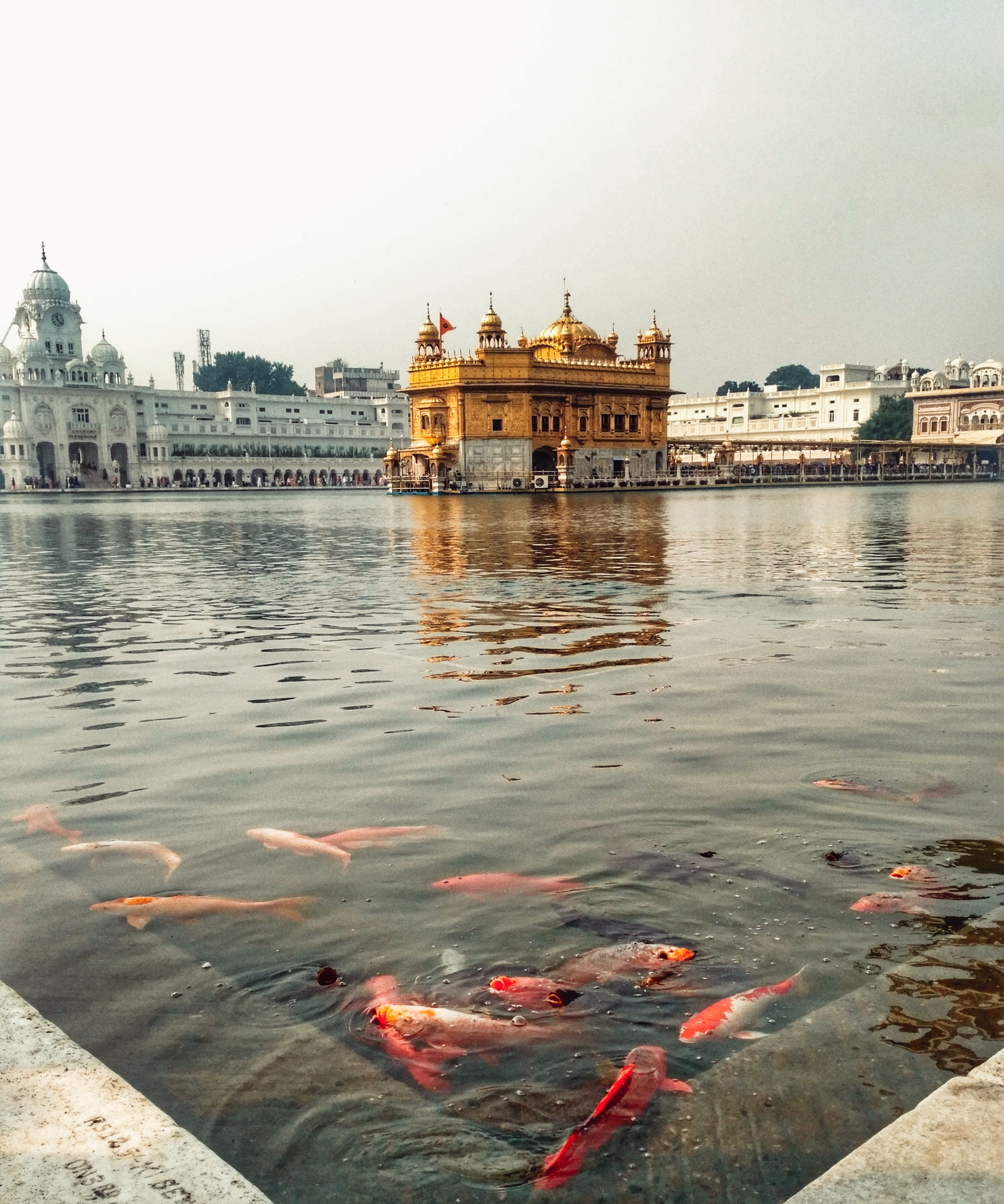
Part 6: Pathankot, Amritsar
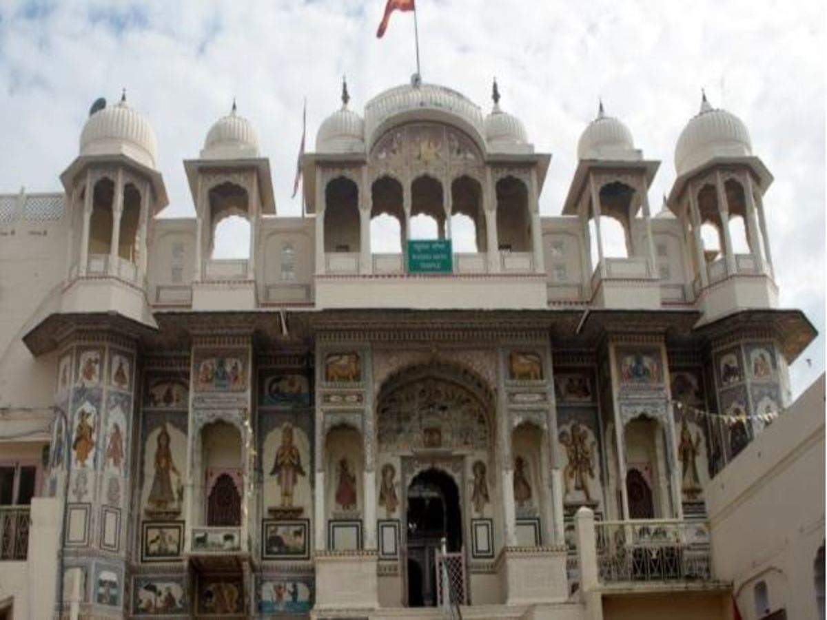
Rajasthan
Part 1: Introduction and Overview, Jaipur, Udaipur
Part 2: Jodhpur, Jaisalmer, Sawai Madhopur, Pushkar

Photo by Apurba Nag on Unsplash

Sikkim
Part 1: Introduction and Overview
Part 2: Gangtok
Part 3: Tinkitam Rayong, Namchi, Barsey Rhododendron Sanctuary, Kabi Longstok, Tendong Hill, Aritar, Zuluk, Pangolakha Wildlife Sanctuary, Pelling, Yuksom, Ravangla
Part 4: Maenam Wildlife Sanctuary, Geyzing, Yangtey, Borong, Mangan, Chopta Valley, Lachung, Lachen, Yumthang Valley, Thangu Valley, Gurudongmar Lake, Cholamu Lake, Shingba Rhododendron Sanctuary, Khangchendzonga National Park, Fambong Lho Wildlife Sanctuary, Goecha La

Tamil Nadu
Part 1: Introduction and Overview, Chennai
Part 2: Coimbatore, Tiruchirappalli, Tiruppur, Tirunelveli
Part 3: Ooty, Kodaikanal, Yercaud, Coonoor, Yelagiri, Bellikkal
Part 4: Kanchipuram, Tiruvannamalai, Chidambaram, Vaitheeshwaran Kovil,
Part 5: Kumbakonam, Thanjavur, Swamimalai, Rameshwaram, Madurai
Part 6: Mahabalipuram, Kanyakumari, Mudumalai Wildlife Sanctuary, Hogenakkal Falls, Kutralam Falls

Photo by Aman Upadhyay on Unsplash

Telangana
Part 1: Introduction and Overview, Hyderabad Part 1
Part 2: Hyderabad Part 2
Part 3: Secunderabad
Part 4: Warangal, Nizamabad
Part 5: Khammam, Karimnagar, Adilabad, Mahbubnagar, Medak
Part 6: Nalgonda, Bhadrachalam, Koti Linga, Somasila, Vemulawada

Tripura
Part 1: Introduction and Overview
Part 2: Agartala
Part 3: Kailashahar, Unakoti, Udaipur, Ambassa, Pilak Archaeological Sites, Chabimura, Mahamuni Pagoda, Manubankul, Buddhist Stupa, Boxanagar
Part 4: Baramura Eco Park, Kalapania Nature Park, Tepania Eco Park, Khumulwang Eco Park, Jampui Hills, Dumboor Lake, Dhalai, Rudrasagar Lake, Sepahijala Wildlife Sanctuary & Clouded Leopard National Park, Trishna Wildlife Sanctuary, Rajbari National Park, Rowa Wildlife Sanctuary, Gomati Wildlife Sanctuary

Uttar Pradesh
Part 1: Introduction and Overview, Noida, Loni, Ghaziabad, Meerut, Muzzafarnagar
Part 2: Hastinapur, Vrindavan, Mathura
Part 3: Fatehpur Sikri, Agra, Garhmukteshwar
Part 4: Aligarh, Firozabad, Jhansi, Piilbhit, Bithoor, Naimisharanya
Part 5: Kanpur, Lucknow
Part 6: Ayodhya, Sravasti, Prayagraj
Part 7: Chitrakoot, Vindhyachal, Varanasi, Sarnath, Kushinagar

Photo by Akshay syal on Unsplash

Uttarakhand
Part 1: Introduction and Overview, Dehradun
Part 2: Mussoorie, Dhanaulti
Part 3: Auli, Joshimath, Chopta, Tungnath, Ukhimath, Lansdowne, Nainital
Part 4: Sattal, Bhimtal, Naukuchiatal, Kausani, Ranikhet, Almora, Binsar, Jalna, Kasar Devi, Jageshwar, Champawat, Munsiyari, Pithorgarh
Part 5: Bageshwar, Chamoli, Mana, Badrinath, Pandukeshwar, Hemkund Sahib, Kedarnath, Gomukh, Madhyamaheshwar, Gangotri, Gauri Kund, Yamunotri
Part 6: Rudranath, Guptakashi, Nandprayag, Rudraprayag, Devprayag, Rishikesh, Haridwar, Roopkund Lake, Nelong Valley, Gangotri National Park, Kedarnath Wild Life Sanctuary, Valley of Flowers, Nanda Devi National Park, Govind Pashu Vihar Wildlife Sanctuary, Rajaji National Park, Jim Corbett National Park

West Bengal
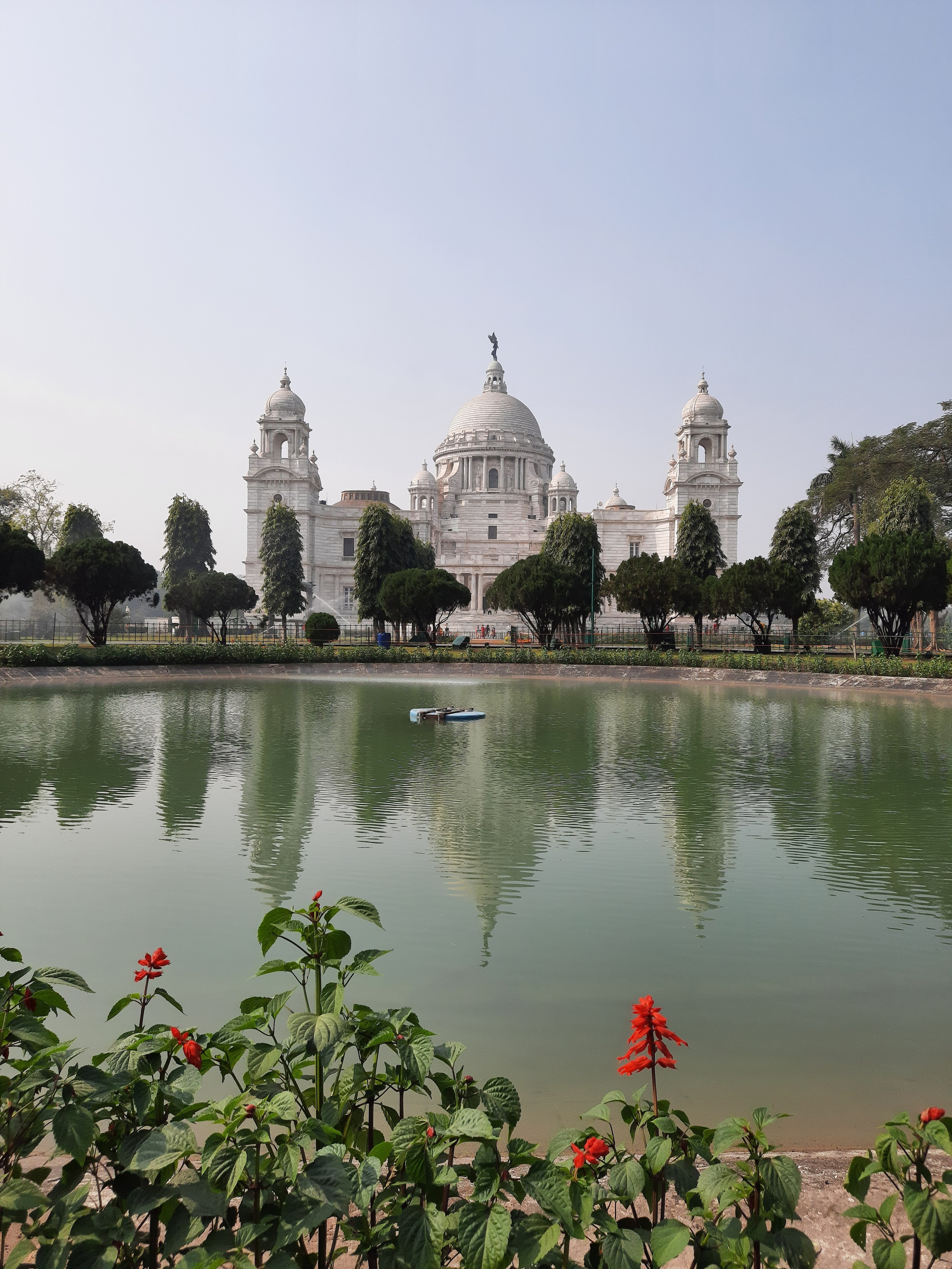
Part 1: Introduction and Overview, Kolkata
Part 2: Howrah, Barrackpore, Chandan Nagar, Chinsurah, Bardhaman, Haldia, Midnapore
Part 3: Shantiniketan, Durgapur, Jhargram, Asansol, Murshidabad, Mukutmanipur, Malda, Siliguri, Jalpaiguri, Cooch Behar, Bagdogra
Part 4: Kurseong, Mirik, Darjeeling, Tinchuley, Dooars, Kalimpong
Part 5: Rishyap, Lava and Lolegaon, Buxa Tiger Reserve, Rajabhatkawa, Jaldapara National Park, Jaldhaka, Chapramari Wildlife Sanctuary, Gorumara National Park, Neora Valley National Park, Lataguri, Purulia, Sonajhuri Forest, Deulti, Sundarbans, Mayapur, Nabadwipa, Bakreswar
Part 6: Bankura, Bishnupur, Jayrambati, Kamarpukur, Tarapith, Falta, Raichak, Taki, Piyali Island, Machranga Dwip, Kakdwip, Mousuni Island, Bakkhali, Junput, Mandarmani, Tajpur, Shankarpur

Travel Bucket List: India – Himachal Pradesh Part 6

Keylong
Nestled between the Lahaul and Spiti district, Keylong is perfect for a getaway away from the tourists towns of the state. Due to the dry cold weather, Keylong does not have a lot of greenery, but the snow-covered mountains covered with mist are picturesque. Situated at an altitude of 3080 meters, the tiny hamlet is generally a stop-over for visitors travelling in the region. The small town is cut off from the outside world from November to mid-May due to heavy snowfall at Rohtang Pass. It is mandatory to get a permit from the Tourist Development Council Manali to travel to Keylong mostly because travel to Rohtang pass is restricted and to get to Keylong, one needs to cross the pass. Located 8 km from Keylong, the Kardhang Monastery is situated amidst mountains with a stunning architecture. The monastery houses a library with ancient Buddhist texts and weapons dating back to the 12th and 13th centuries. The Barachaa La Pass where Barachaa translates to pass with crossroads on summit in English offers spectacular views of the mountains and is also where three rivers namely; Chandra, Bhaga and Yunam originate. The Shashur monastery which is located at an elevation of 600 meters, sits atop a hill 3 km away from Keylong. The walls of this monastery are embellished with beautiful paintings of the 84 siddhas of Buddhism and the best time to visit is during the months of June and July because of the annual festival celebrated. The Tayul Monastery is located 6 km from Keylong. Tayul which translates to the chosen place is home to a grand library that houses thousands of ancient texts as well as a huge statue of Guru Padmasambhava. Believed to be the lake of the Sun God, Suraj Tal is situated amidst snow-covered mountains at an elevation of 4960 meters. At a distance of 24 km from Keylong, Darcha is the place to go if you plan to camp. Located at an elevation of 3360 meters, Darcha is a huge camping site. The ancient fort at Gondla was built in the 18th century and is situated 18 km from Keylong. The fort is eight stories high with intricate architecture and is located the Chandra River. The Lahaul and Spiti Tribal Museum is rich in artefacts relating to the culture of this area with many beautifully woven clothes, old masks, utensils, handmade carpets, treasures and archaeological artefacts. A tranquil lake, Deepak Tal provides scenic beauty with fresh, cold and clear water.

Pin Valley National Park
Set amidst semi-frozen rivers in the Pin Valley, the Pin Valley National Park is situated in the Cold Desert Biosphere Reserve in the Lahaul and Spiti district. The park was established in 1987 as a part of the Great Himalayan National Park Conservation Area. The elevation of the park ranges from about 3,500 metres near Ka Dogri to more than 6,000 metres at its pinnacle. Steeped in historical and present day Buddhist Tibetan culture, the area has many Tibetan Buddhist influences, evident architecturally in monasteries and stupas, and in the daily living of its residents.

One of of its kind, the Pin Valley National Park is home to rare species of the Himalayan snow leopard and their prey, the Ibex. The National Park is famous for its incredible trek which require special inner line permits which is required for any travel within 40 km of the Tibetan border and foreign nationals are not allowed inside the park. The park’s core zone is sprawled across an area of 675 sq km while its buffer zone is extended over almost 1150 sq km. Due to the park’s high altitude and extreme temperatures, vegetation density is sparse, comprising mainly of alpine trees and groves of Himalayan cedar or deodars. In summer, rare birds like the Himalayan snowcock, the chukar partridge, the snow partridge and the snow finch. Because of its snow-laden unexplored higher spots and slopes, the park forms a natural habitat for a number of endangered animals including the snow leopard and the Siberian ibex. Twenty-two rare and endangered medicinal plant species have been discovered in and around the National Park, distributed over 10 different habitat types.

The Pin Valley National Park is the place for those who like trekking in rough terrains. There are two routes with the first one called the Summer Route which is open from July to October, and the second one called the Winter Route, open from March to December. Mid- May to September is considered to be the best time to visit Pin Valley National Park, since the region around the park receives heavy snowfall in winter.

Spiti valley
A cold desert mountain valley located high in the Himalayas in the north-eastern part of the state, Spiti Valley’s name comes from the fact it lies between India and Tibet with Spiti meaning the middle land. Scantily populated, Spiti is an adventure lover’s paradise, with a number of trekking trails that tourists can choose from. Bordered on all sides by the Himalayas, Spiti Valley, is at an altitude of 12,500 feet above sea level, and gets just about 250 days of sunshine in the year, making it one of the coldest places in the country. With the thick Himalayan snow cutting Spiti off from the rest of the country for around 6 months a year, the summer months are the only time Spiti is directly accessible via motorway. All treks in the valley begin from Kaza, Spiti’s capital, which is a tranquil getaway on the plains of the Spiti river and is bound by mountains covered in snow, rivers and streams and picturesque barren landscape with scattered patches of green. Kaza is divided in to two parts, old and new Kaza, accommodating government offices and the king’s palace respectively. Locals follow the Vajrayana Buddhism similar to that found in the Tibet and Ladakh regions. The valley and surrounding region is one of the least populated regions in India and is the gateway to the northernmost reaches of the country.

Chandratal Lake is often referred to as one of the most beautiful lakes and is located at an altitude of about 4300 on the Samudra Tapu plateau which overlooks the Chandra River. The name Chandra Taal which means lake of the moon comes from its crescent shape. This lake is also one of two high-altitude wetlands that have been designated as Ramsar sites. Legend has that the Chandratal Lake lies in the vicinity of the place from where Lotf Indra’s chariot picked up Yudhishthira, the oldest of Pandava brothers. The colour of this lake keeps changing from red in the morning to orange and blue to to emerald green as the day ends. Vast stretches of green meadows house the best camping sites with an array of wildflowers during spring. The trek from Batal to Chandratal can be quite a tedious trail, but the views make the trek worth it. The Chandratal Lake trek goes through a scenic route with a panoramic view of the Lahaul range with snow clad peaks of Minar, Talagiri, Tara Pahar and Mulkila, all of which are over 6000 meters.

Five km from the Dhankar monastery lies the Dhankar lake on the other side of the mountain which can be reached in about an hour after following a well marked trail from the monastery. When the sky changes colour, it reflects the colours on the crystal clear lake making it the perfect place to contemplate on life.

The Kunzum Pass or Kunzum La, as it is called by locals, is one of the highest motorable mountain passes in India, located at an altitude of 4,551m above mean sea level and serves as a gateway to Spiti valley. It lies on the eastern Kunzum Range and offers an incredible 360-degree view of the Bara – Shigri Glacier, the second longest glacier in the world, a jaw-dropping vista of Chandrabhaga Range and a spectacular views of the Spiti valley. A 15 km trek to Chandrataal lake starts from the pass and it is believed that visitors have to stop at the temple of Goddess Kunzum Devi, on their way to the pass, to pay their respects and seek blessing to travel safely. The tradition is to take a complete circle of the temple in one’s vehicle.

Located at an altitude of 4,166 m, the Key Monastery is very close to the Spiti river and is also known as the Kye or Ki Monastery, it is believed to have been founded by Dromton, a student of Atisha in the 11th century. Over a thousand years old, the monastery is the largest in Spiti Valley and doubles up as a religious training centre with about 300 lamas receiving their education here. As a result of the repeated attacks on the monastery, it was rebuilt multiple times making the monastery look more like a fort. The walls of the monastery are adorned with beautiful murals and paintings and marked by narrow corridors that lead to low rooms. The monastery has three floors with the first floor is used for storage and is mostly underground. The ground floor of the monastery houses the assembly hall and has cells for the monks. A richly painted room, Tangyur never fails to capture one’s attention. Thangkas, manuscripts, stucco images and wind instruments can be found within the monastery as well as an extensive collection of weapons on display.

Also refered to as Dankhar, Drangkhar or Dhangkar Gompa, the Dhankar Monastery is situated at an altitude of 12,774 feet and is perched unbelievably on the edge of a cliff and offers a panoramic view of the Spiti valley. Built one thousand years ago on a 1000 feet high mountain and overlooking the confluence of the Spiti and Pin rivers, Dhankar Monastery is listed as one of the world’s 100 most endangered monuments. Besides enchanting views, the gompa has the statue of Vairochana or Dhayan Buddha which consists of four figures seated back to back and a small museum with scriptures and murals. Below the monastery is the village of Shichilling where there is a new monastery which houses about 150 monks belonging to the Gelug school of Tibetan Buddhism. Dhankar was the traditional capital of the Spiti Valley kingdom during the 17th century and has some features from the 12th century.

Standing tall at a height of 10,000 feet, the Tabo Monastery is one of the oldest monasteries located in the Tabo village of Spiti Valley and is the oldest monastery in India that has been functioning continuously since its inception. It is second only to the Tholing Gompa in Tiber and was built by the Buddhist king, Yeshe-O. It is known as the Ajanta of the Himalayas, because of the walls of the monastery which are decorated with fascinating murals and ancient paintings, much like the Ajanta Caves in Maharashtra. Today it has been taken over by the Archeological Survey of India. The walls of the monastery are 3 feet wide and encompass 9 temples, 4 stupas, 23 chortens, a monk’s chamber and an extension which contains the nun’s chamber. The temples house a priceless collection of manuscripts, thangkas, stuccos and frescoes with the walls decorated with murals that depict the ancient tales of the Mahayana Buddhist pantheon. A four-fold figure of Vairocana, one of the five spiritual sons of Abibuddha rests in the Initiation Temple with many other life-sized statues of gods and demons and holy scriptures.

The Shashur Monastery is a three-storied monastery of the Drugpa sect, located about 40 km from Manali. The literal meaning of Shashur in the local language is blue pines, as blue pine trees can be found around the monastery. Since the monastery is perched at an elevation of 600 m above the valley, the views of the river, mountains and Keylong town are amazing. Built in the 17th century, following the Mandala concept of a square having four gates with a circle in the centre, the prayer rooms of the monastery are bedecked with large thangkas and wall paintings.

Source

Also known as the Guru Ghantal Gompa, the Gandhola Monastery, is located around 20 kms from Keylong. Perched on the Tupchiling village hilltop, at the confluence of the Chandra and Bagha rivers, the monastery is the oldest monastery in the Lahaul region, founded by Padma Sambhava around 800 years back. It is famous for its wooden idols, which stand out from the clay idols found in all other monasteries.

Located in the Bhaga Valley of Spiti, the Tayul Monastery houses the biggest statue of Padma Sambhava which is 12 ft. tall, in his two manifestations of Singhmukha and Vajravarahi. Situated around 6 kms from Keylong, the Tayul Gompa also has a hundred million mani wheels, which are supposed to open the minds of visitors to the compassion of Lord and are said to turn themselves on auspicious occasions.

The Tangyud Monastery is located in the Komic village of Spiti Valley at 4520 metres and is one of the highest altitude gompas in India. Also known as Sakya Tangyud Monastery, it is situated on the periphery of the Kibber Wildlife Sanctuary. Sitting on the edge of a deep canyon, the monastery is built in the form of a fortified castle. Adorned with red ochre and white vertical stripes, with a slanting mud wall, it gives the appearance of being taller than it actually is and is one of the only two monasteries belonging to the Sakya sect left in Spiti Valley.

The Kardang Monastery is located in Kardang village on the banks of Bhaga river at an altitude of 3500 metres and is situated on a ridge below Rangcha Peak, facing the town of Keylong. Said to be more than 900 years old, the monastery is famous for its alluring architecture, religious significance and phenomenal collection of murals, thangkas, paintings and instruments. There are about thirty monks and nuns at Kardang Monastery who have equal rights and permission to marry. They spend the summer with their families and return to the monastery in winter. Every year in the months of June and July, an annual Chaam dance is also organised where monks are dressed in dramatic masks and headgears. The architectural style of Kardang Monastery is typical of the Lahaul and Spiti district. The highlights of the monastery include a large golden Buddha statue, ancient colourful frescoes and murals and a library of Buddhist literature including the Kagyu and Tangyur scriptures in the Bhotia or Sherpa language. There are strips of paper on which the sacred mantra ‘Om Mani Padme Hum’ is written one million times. 103 volumes of the Kangyur are kept in the library with 64 tantra books on various subjects. The monastery also houses a 4-foot high silver chorten or shrine in the first room which has the skull and ashes of Lama Norbu. To the right of it are statues of Padmasambhava and Tara Devi, and in the back, one of Tagden Shakyashree, a guru of Lama Kunga. The second room is the main Prayer Hall with an eleven-headed statue of Avalokitesvara. On a high pedestal at the right are some of Lama Norbu’s castoff garments and with a skull in front. In the third room is a six-foot wooden prayer wheel with a brass bell on it.

Source

Located in the Pin Valley, around 10 km from Attargo and 3 km from Gulling, the Kungri Monastery is the second oldest monastery in Spiti valley and the only one following the Nyingmapa Buddhism tradition, the oldest order of Tibetan Buddhism. The Kungri Monastery has gorgeous silk paintings of Buddhist deities adorning the inner walls and during June-July, one can witness the performance of the Devil Dance or Chham.

The Trilokinath Temple, also known as Sri Trilokinathji Temple, is located in Trilokinath village. The temple is the only place in the world where both Hindus and Buddhists worship together. The diety is considered as Lord Shiva by Hindus while the Buddhists see it as Arya Avalokiteshwar. Trilokinath, another name for Lord Shiva, means the Lord of three worlds. It is believed that the Trilokinath Temple was originally a Buddhist monastery. Located at an altitude of 2760 metres, the white-painted temple used to be called Tunda Vihar, which is is the ancient name of the temple. The temple has a curvilinear stone tower or shikhara which has a distinctive amlka on its top and is made in a traditional wooden pagoda style and decorated with Tibetan prayer flags. As one enter the temple, there is a courtyard with a small white shrine with a granite lingam and a Nandi bull in the middle and a large Buddhist prayer wheel. Past the courtyard, in a room around the original shrine, a Hindu priest and a lama sit.

Komic Village, situated at a height of 4275m is a location where fossils are found, but one should not be tempted to to that as the buying and transporting of fossils is not legal. The village also owns a small monastery where women are not allowed during prayers.

Situated in the Sutlej river valley near the India- Tibet border, Tashigang is a quaint little village which is also the highest point in the Spiti Valley. Perched at an altitude of 4650 m, the village has just over four homes with a meagre population of 6 families and around 40 people in all. Tashigang’s claim to fame is that it has the highest polling booth in the world as well as a beautiful lake.

Kibber, also known as Kyibar, is a small village located at an altitude of 4270 metres and is surrounded by picturesque mountains and barren landscapes, Kibber boasts of being the highest inhabited village with a motorable road and is famous for the local monastery and the Kibber Wildlife Sanctuary. Established in 1992, Kibber Wildlife Sanctuary is spread over an area of 1400 sq k and harbours rare species of flora and fauna. Around forty snow leopards have been discovered here. The area is rich in rare and endangered medicinal plant species used in the production of traditional medicines and cosmetics. Local operators and homestays organize excursions and treks to the sanctuary.

Also known as Mummy Village, Gue is a small village which has the mummy of a monk placed inside a tomb. As per carbon dating, the mummy is 500 to 600 years old and is dressed in silk robes and placed in a squatting position. It was discovered in 1975.

Sarchu, which lies in the border of Ladakh and Himachal Pradesh is usually chosen as an overnight stop for people who travel along the Leh-Manali Highway. Located at an altitude of 4,290 metres, A majour trading point on the Silk Route, Sarchu is also called as Sir Bhum Chun and lies between the Baralacha La mountains in the south and Lachulung La in the north. The camping site on the Himalayan mountain range has many semi-permanent camps which are run between May and October.

Narkanda
Surrounded by forests and woodlands, Narkanda is a quaint little town popular for skiing in winters. Situated at a height of 9000 feet, this town is known for its natural beauty and beautiful apple orchards and is surrounded by tropical forests and majestic hills. Narkanda also has various trekking routes and a beautiful hill, Hatu Nag can be trekked and from where one gets a panoramic view of the town below. Soaring at a height of nearly 12,000 feet above sea level, the Hatu Peak is the highest peak in the Shimla district, which is surrounded by mountains and covered in a dense green forest comprising a varied population of deodar, fir, spruce, cedar and blue pine. The Hatu Mata Temple rests atop the hill on Hatu Peak and is dedicated to Mandodari, the wife of King Ravana. There is a small stove like formation that sits right next to the temple, believed to have been used by the Pandava brothers to cook their food during their exile. The trek to the peak is not very rigorous and is a one-way hike of 7 km. The Tannu Jubbar Lake is encircled with trees all around and is an ideal picnic spot. Located 7 km form Narkanda is the Mahamaya Temple, dedicated to Goddess Kali which is set amidst beautiful surroundings. Many years back, Satyanand Stokes started cultivating apples in Narkanda and kickstarted the town’s economy. This because the Stokes Farm and today the area is known for these apple orchards and.

Mashroba
Connected to the state capital of Shimla by the historic Hindustan-Tibet Road built by Lord Dalhousie in 1850, Mashobra is notable for housing one of the two Presidential retreats in India, with the other being the Rashtrapati Nilayam in Secunderabad. The President of India visits Mashobra at least once every year, and during this time their core office shifts to the retreat at Chharabra, in Mashobra. The building housing the retreat is a completely wooden structure originally constructed in 1850. Also known as the quieter Shimla, Mashobra stands at a height of about 7700 feet and is the perfect alternative for those looking for a peaceful little hill-station. Asia’s largest watersheds supplying water to Shimla, the Reserve Forest Sanctuary is a must visit not just for this reason, but also for the lush coniferous cover surrounding it and also because it is a birdwatcher’s delight. Prior permission to visit the sanctuary is needed as it is a reserved area. A spectacular picnic spot which was previously a villa of an Italian photographer Chevalier who named it after his hometown, Craignano is located at a height of about 7700 feet and flanked by streams as well as pines and oaks on all sides and is constructed out of wood. The Shali Tibba hill at an altitude of 2873 m is located in Khatnol village, 35 km from Shimla and is also known as 360 because of the 360 view from the peak of Kufri, Fagu, Shimla and Narkanda Hills. The mountain peak has a temple dedicated to Goddess Bhimakali. Originally built as a residence of Lord Kitchener of, the Wildflowers is said to have been a favourite retreat of Lord Ripon. However, it burned down in 1993 and a new Wildflower building was built as a hotel there in a joint venture between the Himachal Pradesh government and the Oberoi group of hotels. If one is a big fan of exploring little known traditions and festivals, then visiting the Mahasu Peak in the month of May should be on the list. The festival, known as Mahasu Jatara, falls on the third Tuesday of May and celebrates the shifting of the idol of the chief deity Lord Mahasu. 

Kinnaur
Located on the Indo-Tibet border, Kinnaur is situated at a distance of 235 km from Shimla and hosts views of the Zanskar Valley and the snow-draped Dhauladar range. Also known as the land of God, Kinnaur’s claim to fame is the Kinnaur Kailash with the shivaling, the representation of Lord Shiva and the mesmerising rock formations which change colours several times a day. Opened to outsiders in 1989, there are old Buddhist monasteries and temples here and the district is well known for its delicious apples, Chilgoza, handlooms and handicrafts materials. Kinnaur lies on the northeast corner of the state bordering Tibet to the east and has three high mountains ranges, Zanskar and Himalayas that enclose valleys of Satluj, Spiti, Baspa and their tributaries. The slopes are covered with thick wood, orchards, fields and hamlets. At the peak of the Kinnaur Kailash mountain is a natural rock Shivling. The old Hindustan-Tibet Road passes through the valley along the banks of river Sutlej and finally enters Tibet at Shipki La pass. Kinnaur also has historical cultural links with Ngari Prefecture of the Tibetan Autonomous Region.

A favourite for Buddhist pilgrims because of the three temples of Galdang Chhodkar, Dunguir and Kangyur and an old monastery dedicated to local deity Tangtashu, Lippa has the Taiti stream flowing by. Reckong Peo also known as Peo lies in the middle of the Himalayas at a height of 2,300 metres. Also known as Rirang, Ribba gets its name by adding ri, meaning chilgoza, which Kinnaur is known for and rang, meaning mountain peak. The area is famous for its grape orchards and grape distilled alcohols and the innumerable trees with edible pines. Moorang is known for its apricot orchards and the fort built by the Pandavas on the banks of the Sutlej river.

Sarahan
A small hamlet, Sarahan is known as the gateway to Kinnaur and is located near the Sutlej River Valley and the Indo Tibetan road, at an altitude of 2165 m below sea level. Famous for the never-ending apple orchards, dense emerald pine and deodar forests, gushing streams, wildflower fields rustic settings, terraced farms and slate-roofed houses, the village is a sight to behold. The village is famous for the Bhimadevi Temple, dedicated to the mother goddess Bhimakali, who was the presiding deity of the rulers of the former Bushahr State. One of the 51 Shakti Peethas, it is believed the temple is built at the place where Sati’s ears fell. The temple is built in the traditional Kinnauri manner with a touch of a unique Tibetan architecture and has three complexes, the first two which were built in the 12th century and the third in 1920. The three complexes are dedicated to Lord Raghunathji, Patal Bhairva Ji and Narsinghji, though Devi Kali is the principle deity and has a separate shrine. The exterior boost of wood works and the interior is full of intricate carvings. During Dussehra, grand prayers and animal sacrifices are offered to the Goddess. The Sarahan Bird Park
is located close to the Bhimkali Temple and houses the famous state bird Jujurana as well as other local birds and is closed during the summer as it is the breeding season. Located 50 km from Sarahan, Bhabha Valley is a beautiful valley running along the Bhaba river with an amazing landscape filled with the lake and alpine meadows and also is the starting point for the trek route to Pin Valley in Spiti. The Shrikhand Peak has a temple dedicated to Lord Shiva near the peak which, according to legend is where the Lord meditated. Hawa Ghar is a quaint little sitting area built below the canopy of tall trees and offers a phenomenal view of the high peaks and deep valleys. Sarahan was the summer capital of the Bushahr kings and the Bushahr Palace is situated adjacent to the Bhimkali temple. It is generally not open for public visits, though the garden and some parts may be accessible at times. The royal family does not live here now and only visits during Durga puja.

Sangla Valley
Named after a beautilful village of the same name, the Sangla Valley is bound by mountain slopes, sprawling evergreen forests, snow covered peaks, red apples orchard and cherry trees. The Baspa river also makes its way through the place and is famous for trout fishing. The Sangla Meadow is a lush green meadow spotted with mud patches and a magnificent backdrop of the snow covered Himalayas. Also referred to as Sangla Kanda, this is a must-see place when in the valley. The Baspa river, a photographer’s delight is an ideal place to fish rainbow and brown trout, camp and trek. Dedicated to Lord Jagas, the Bering Nag temple is another must-vissit and not just for its The Brelengi Gompa was established in 1992 to perform the Kalachakra ceremony by the Mahabodhi Society. Chitkul is said to be the last inhabited village within the Indian on the old Indo-Tibetan road. Situated at the height of 3450 meters, the village is located at a distance of 28 km from Sangla and has an exquisite landscape of breathtaking beauty with orchids, mountains, meadows, huge rocks, river, jungle, and grasslands. The village is sparsely populated. On the way to , about 22 km from Chitkul, one will also pass through the Rakcham village, commonly known as the model village in the region. A quaint village Rakcham is located in the Baspa Valley by the Baspa river, an important tributary of the Sutlej. Sangla is also famous for Tibetan proucts made of wood which can be found at the Tibetan Wood Carving Centre. Situated almost 8 km from Sangla, the Basteri village is where one can shop some interesting local handicrafts like handmade shawls and the Kinnauri caps.

Kalpa
A small village, Kalpa is known for its apple orchards. Local Kinnauris follow a syncretism of Hinduism and Buddhism and many temples in Kalpa are dedicated to both Hindu and Buddhist gods and goddesses. The village is known for its ancient temples and the Sutlej river flows below through deep gorges and bordered by chilgoza pine forests. An inner line permit is needed to continue upwards to the Spiti Valley. Also visible from here is the shivling rock on the Kailash mountain that changes its color at different points in the day. A perfect example of Kinnauri craftsmanship, the Narayan-Nagini temple is constructed in the traditional Tibetan pagoda style and situated on the top of a hill at Chini village. The Hu-Bu-Lan-Kar monastery was founded by Rinchensang-po who lived between 950 and 1055. Also known as Koshtampi, Kothi is important as a religious place due to the temple of the Hindu God Bhairon Baba and that of Goddess Chandika who is believed to slash the head of a demon who helped the takur of Chini in ruling Sairag and brought bliss to the town. She is believed to bestow magical boons to her devotees. The Kinnar Kailasha which is locally known as Kinner Kailash is a mountain at a height of 4800 meters and is considered sacred by both Hindu and Buddhist Kinnauris and is sometimes confused with the Mount Kailash in Tibet. There is a monolithic pillar or Shivling at an altitude of around 4800 meters which is supposed to change colour at different times of the day. As the name suggest, Suicide Point has a dangerous trench and vertical slopes with the walk to this point taking one through apple orchards. The Sapni Fort is near the Sapni village and is seven stories high. There is a temple dedicated to Goddess Kali on the fifth floor. Two buildings of this fort were constructed by King Padam Singh of Rampur, one of them being his queen’s tower. The fort also displays impressive woodwork and carvings on window frames and doors. Converted into a temple today, the Kamru Fort is dedicated to Goddess Kamakhya Devi. The fort comprises of a wooden balcony with a large idol of the goddess is placed on the third floor and a huge image of Lord Buddha in the main gate. The Roghi village is a small village about six to seven km Kalpa, famous for its simple lifestyle and customs of the region.

Pangi Valley
Pangi valley is a serene, quiet area inhabited by tribal people at 7,000 ft to 11,000 ft above sea level and is underdeveloped and hidden away with uneven roads and scanty resources. The valley is surrounded by white peaked mountain tops and rugged roads. The Saach Pass, a mountain pass of 14500 ft, is open during the months of June and October as it snows heavily during other months. The shrine of Det Nag in Killar is a popular tourist destination. Others include Killar, a hamlet located in a narrow gorge of the Chenab river, which is the headquarters of the Pangi subdivision; Dharwas which is the largest village in the valley; Shour, a bridge that swings over an icy cold river; Mindhal Basan Devi temple, a beautiful temple dedicated to the deity Mindhal Devi, among many others. The valley is closed for tourists for most of the year due to heavy snowfall and avalanches. The uniqueness and remoteness of the valley makes for a culture that is unique and not found anywhere else. Killar is the administrative headquarters of sorts of the valley located deep in a narrow gauge of the Chenab river. Killar also acts as an appropriate base for those trekking to Kishtwar through the Zanskar Valley. The main attraction is the Det Nag temple, dedicated to Lord Shiva. The Mindhal Devi temple located about 12 km away from Killar in the Mindhal village is famous for its wood carvings. Dharwas is the largest village found in the valley, located very close to Killar and falls on a trekking trail. It is known for its beautiful natural water spring, Tilmili that provides water rich in minerals and it is said that the King of Chamba would drink from this spring. Situated on the right bank of the Chenab river and the Chandrabhaga, Cherry Bungalow is a rest house which makes for a brilliant checkpoint while travelling in the valley. The Saichu nallah one of the major tributaries of the Chandrabhaga meets the river here with a small temple dedicated to Lord Shiva. The Parmar valley is located at an altitude of about 3,000 ft above sea level and comprises of a cluster of three villages namely Kumar, Parmar and Parmar Bhatori. The village of Parmar Bhatori has a Buddhist Gompa, and above the village are beautiful and lush expanses of green pastures. Despite the valley being secluded and still relatively underdeveloped, it is a beautiful place for a short trip of a few days.

Nako
Located 3,600 metres above sea level, Nako is the most significant village in the district on the eastern end. Also known as the land of the Fairytales because it is surrounded by the greenery home to many rare species, the village is home to the Nako Lake, Buddhist temples and Rakham. Near the lake, one can also find the footprints of Lord Padmasambhava, who is believed to have meditated at the spot for many years. Because it is close to the Tibetan border, travellers need inner line permits to travel to the region and foreigners need permissions to stay overnight in any part of the village. When viewed from afar, the village seems as if it is submerged in a lake. What is unusual about the lake is the waterfall in which the water that flows appears as a milky liquid which is because the water is full of snow, and according to legends, it is the realm of fairies. The footprints of these fairies and other demigods can still be found in one of the caves near the lake. The Nako Monastery dates back to the 11th century and comprises of four large and spacious halls, the oldest known as Dukhong. The monastery complex also houses a shrine which is dedicated to Purgyal, a local deity attributed to be the spirit of the mountain. The Lipa- Asrang Sanctuary, renowned for its diverse plants is spread over an area of about 30.89 sq km. The variety of flora found in protection here includes dry coniferous forest, dry alpine scrub, dwarf juniper scrub and others. Visitors need permission to enter the sanctuary. The Chango gompa, located just a few kilometres away from the Nako monastery, is famous for its prayer wheel which is more than 500 years old and is made up of yak skin. To enter the village, one has to pay INR 150 per person for the entry permit.

And with this we come to the end of our series on the beautiful and bewitching state of Himachal Pradesh. With so much beauty waiting to be discovered, I can’t wait for things to get back to normal so that I can make a trip there, preferably during winter!

Travel Bucket List: India – Himachal Pradesh Part 5

In today’s part we will explore three of Himachal Pradesh’s most popular hill stations.

Kullu
A popular tourist destination , Kullu located on the banks of the Beas river and is generally coupled with its sister town of Manali which is on much higher altitude and provides more scenic views. Situated at an altitude of 1230 m between the Pir Pranjal, Lower Himalayan and Great Himalayan Ranges, Kullu is abundant with apple orchards, pristine river streams and a wonderful climate. The Kullu Valley is a broad open valley between Manali and Largi. Historical references about the Kullu valley dates back to ancient Hindu literary works like the Ramayana, Mahabharata and the Puranas. During the Vedic period several small republics known as Janapada existed which were later conquered by the Nanda, Mauryan, Gupta and Karkota empires and the Pala dynasty. After a brief period of supremacy by King Harshavardhana, the region was once again divided into several local powers headed by chieftains, including some Rajput principalities, which were later conquered by the Maratha and Sikh empires. The name Kullu is derives from the word Kulant Peeth, meaning the end of the habitable world. According to legends, during the Great Flood, Manu visited this valley but was unable to cross the Rohtang pass and so named the last settlement he found as Kulant Peeth and chose to settle and meditate in what has now become the town of Manali or Manu’s Place. The name further devolved into Kulut, as the kingdom was known for a long time; before finally being known by the current name of Kullu. Kullu got its first motorable access only after Indian Independence and so long centuries of seclusion have allowed the area to retain a considerable measure of its traditional charm.

Established in 2010, the Khirganga National Park is known to be one of the most beautiful national parks in the country and is blessed with a scintillating landscape, glossy green hills, dense green shrubberies, tall towering trees and rusty old rest houses. Visitors can walk the trail leading from the centre of the park from where it is easier to spot the exotic and rich flora and fauna. The village neighbouring the national park is called Khirganga, known for a hot water spring as well as a temple dedicated to Lord Shiva and Goddess Parvat.

Source

Also established in 2010, the Inderkilla National Park sprawls over an area of 104 sq. km and is home to several species of domestic and foreign flora and fauna. Considered to be one of the least explored national parks in India, the park also has a narrow trail passing through the heart of it, on which one can spot animals and plants in their natural habitat. Covered in dense woods and a hilly terrain ideal for a trek or a hike, the park is loved by adventure enthusiasts. Many of the plants here are said to hold significant medicinal properties.

The Raghunath Temple finds connections to Lord Rama, and the idol of Lord Raghunath placed here, is said to be the same as the one used by him. The temple borrows its design and architecture from the Pahari and Pyramidal styles and is the oldest temple in the valley. The Hanogi Mata Temple is a tiny little temple perched on top of a small hill. Watching over valleys, the temple is dedicated to Goddess Mata Hanogi and has a stream running down below, The temple is also best known for its views of the sunset. The Shringi Rishi Temple is dedicated to Lord Shringa who is the ruling deity of the Banjar valley and houses an idol of Shringa Rishi along with goddess Shanta. Built 1500 years back, the Jagannathi Devi Temple is dedicated to the Goddess Bhuvaneshwari, the sister of Lord Vishnu. The architecture of this temple is influenced by the Pahari style and its walls are artistically crafted with the images of Goddess Durga. The temple is surrounded by an ancient legend of a shepherd boy who caught hold of one of the two girls dancing to the tune of his flute. She then revealed that she was a goddess and decided to settle in that village.

Regarded as one of the most challenging treks in the northern Himalayan region, the Parvati Valley trek has mesmerising views. Although the trail is not really well laid, the thrill it brings is unmatched. The trek is quite long and taxing, but the reward is extremely exhilarating. As the altitude increases, the surroundings become more enchanting adorned with dense forests, lush green meadows and a plethora of gushing streams, all being flanked by majestic snow-clad peaks. One of the trekkable summits in the Indian Himalayan region, the Friendship Peak which looms at an elevation of 5,289 meters in the Pir Panjal range in Himachal Pradesh is a trekker’s dream. From the summit, one can feast their eyes on the panoramic view of the Pir Panjal range and the silver horizon formed by the Dhauladhar and the Great Himalayan ranges. The Friendship Peak trek passes through the beautiful Solang Valley that houses several alpine meadows, thick forest dotted with varied species of alpine trees, colourful orchards and crisscrossed by numerous small and gushing streams. Located at an altitude of 3660 m the Chandrakhani Pass offers visitors a fabulous view of the Deo Tibba Peak, the Pir Panjal and Parbati ranges. The Parvati valley, with all its beauty, makes for an amazing trek with the Chandrakhani Pass a popular base for trekking. The Pin Bhabha Pass, also known as the sister of the Pin Parvati Pass, is a very challenging and beautiful trek. Located at an elevation of 4865 m, the Bhabha Pass acts as a bridge between the valleys of Kinnaur and Spiti. Starting from the less explored village of Kafnu, the trek keeps one engaged with dramatic changes in the landscape at every turn. The best time to visit is between mid June to early October

Source

Isolated from the rest of the world lies the solitary village of Malana Nala, which is a side valley of the Parvati Valley known as Malana or the Malana Village. The temples in Malana, the Jamadagni Temple and the Shrine of Renuka Devi serve as major attractions of the village and are built close to each other. The trekking route to Malana is adorned with lush deodar vegetation along with a slight view of the Malana Dam that energises people from time to time.

Source

Manali
Nestled in between the snow-capped slopes of the Pir Panjal and the Dhauladhar ranges, Manali is one of the most popular hill stations in the country. With jaw-dropping views, lush green forests, sprawling meadows carpeted with flowers, gushing blue streams, a perpetual fairy-tale like mist lingering in the air, and a persistent fragrance of pines, Manali has been blessed with extraordinary scenic beauty. Manali is the beginning of an ancient trade route to Ladakh and from there over the Karakoram Pass on to Yarkand and Khotan in the Tarim Basin and serves as the gateway to Lahaul and Spiti district as well as Leh. Named after the Sanatan lawgiver Manu, the name Manali is regarded as the derivative of Manu-Alaya, meaning the abode of Manu. Legend has it that sage Manu stepped off his ark in Manali to recreate human life after a great flood had deluged the world. The valley is often referred to as the ‘Valley of the Gods’ with the old Manali village having an ancient temple dedicated to sage Manu. The British introduced apple trees in the area and today, apples, along with plum and pear, remain the best source of income.

When heading to Manali for a vacation, two absolutely essential destinations are the Rohtang Pass and the Solang Valley. Located 14 km to the north west of the main town, Solang Valley is situated on the way to Rohtang. A favourite for adventure enthusiasts, activities like parachuting to paragliding, horse riding to driving mini-open jeeps specially available for tourists of all age groups are available in the valley. During winters, Solang valley is covered with snow, making skiing a popular sport. The crystal snow in Solang starts making an appearance towards the beginning of October and with the onset of core winter months, the temperature drops down to -1 °C with nights being especially chilly and December and January are the peak months for snowfall. Paragliding is a favourite activity here and the best time to paraglide depends on the season. For those visiting between January to May or October to December, 9 am to 5 pm Is the time for paragliding which is shut down during the monsoons. The cost of paragliding varies from INR 600 to 1800. Solang Valley is an all season destination as the valley is magnificent during winters and during summers experiences mildly hot afternoons with cold mornings and evenings.

Located just 51 km from Manali, Rohtang Pass can only be reached by road and is located at a height of 3978 m on the Manali – Keylong road. In the Ladhaki language Bhoti, Rohtang means a pile of corpses because of the large number of people who died while working here. Due to heavy snowfall, the pass remains closed in winters from November to May and is said to be the only pass in the country to be covered by snow throughout the year. Only 800 petrol vehicles and 400 diesel vehicles are allowed entry into the pass daily. A tourist permit is required for the taxis and vehicles going to Rohtang Pass, valid for a day, except on Tuesdays as the pass is closed for maintenance each Tuesday. Permit fees for cars, jeeps and MUVs are INR 500 + INR 50 as congestion charge, for busses and HMVs, it is INR 500 + INR 100 congestion fee. There is a special permit for private vehicles only which is only valid for one day and only 60 petrol and 40 diesel vehicles are allowed entry to the pass daily. The Rohtang Road Tunnel also known as the Atal Tunnel is a highway tunnel built under the Rohtang Pass. At a length of 9.02 km, it is the longest tunnel above 10,000 feet in the world and reduces the travel time and overall distance between Manali and Keylong on the way to Leh. What was a five to six hour trip under good conditions now takes only 45 minutes. The tunnel was inaugurated in October 2020.

Source

A high altitude lake, Bhrigu Lake is located about 40 km from Manali. The route to the lake passes through entrancing meadows which are also called the Bhrigu Lake Meadows. The name Bhrigu is derived Maharishi Bhrigu. A salient characteristic of the lake is that it never freezes entirely during winters, which according to legend, is because Maharishi Bhrigu meditated near it. Not many visitors know about the lake which takes six hours to get from Gulaba village. The alpine meadows can be compared to those found in Switzerland. During most of the tourist season, the region has clear blue skies during the day with the night skies a special treat for campers and night gazers. The best time to visit the lake is between October and May which is the winter season in Manali because a significant portion of the lake is frozen, and the surrounding covered with snow. Between March and May, during the summer months, the weather is clear and pleasant.

Located inside the very famous Vashisht Temple, Vashisht Baths is a hot water spring, believed to possess medicinal values. Also known as Vashisht Springs, it is visited many, who take a dip in the holy water to rid themselves of skin diseases and infections. The baths are accompanied by beautiful sandstone temples with separate bathing areas for men and women.

Source

Nehru Kund gets its name from the first Prime minister of India, Jawaharlal Nehru who is said to have had the water from the natural spring when he used to stay in Manali. Located on Manali Leh Highway, it is believed that the waters of this spring originate from famous Bhrigu Lake and is known for the cold and pristine water and breathtaking scenery of the mountains and valleys. The kund is famous for photography and has the perfect natural lighting.

Located 3 km uphill from Manali lies the town of Old Manali, a quiet settlement that lays beneath a valley with a vast apple orchards. Manali is divided into Old Manali and New Manali by the Manalsu river and one can reach Old Manali by a bridge over the river. The sunrise and sunsets here are stunning and Old Manali is most famous for its Hidimba temple, the Jogini falls and the Vashisht temple.

The Hadimba Temple is a unique temple dedicated to Hidimba, the wife of the second brother of the Pandavas, Bhima built on a rock believed to be in the image of the Hidimba herself. Locally known as Dhungari Temple, the construction style of the Hidimba Devi temple is entirely different from that of other temples, with wooden doorways, walls, and cone-shaped roof. The temple is a four-storeyed structure built in the Pagoda style with flat roofs. The topmost roof is conical and clad in metal, while the other roofs are covered with timber tiles. The temple is made of mainly wood and stones with intricately carved wooden doors and a 24 metres high wooden shikhar or tower above the temple. The main door of the temple is adorned with carvings of Goddess Durga with the interior simple. The temple does not contain any idol but the sanctum sanctorum consists of the rock where Hidimba sat for meditation. A few metres away lies a shrine dedicated to Hidimba and Bhima’s son Ghatotkacha which consists of a stone block with the impression of what is believed to be Hidimba’s foot. During Navaratri, she is worshipped and during the day of Dussehra, the idol is taken to the Dhalpur Maidan from where she blesses the ceremonial horse called Ghor Puja. It is open on all the days of the week, from 8 am to 6 pm.

A beautiful temple dedicated to Sage Manu, the Manu Temple lies in the Beas river valley. Said to be the only temple dedicated to the sage who was King Vaivasvata Manu, believed to be the creator of the human race and known as the lawgiver of the Sanatana Dharma. According to legend, Sage Manu found a small carp in a river who was actually Lord Vishnu. The sage put the carp in a bowl to save him. The fish soon became too big to fit in the bowl, so was moved to a bigger bowl. The fish, however, kept on increasing in size and the sage had to move it back to the river. Once in the river, the fish grew to a size that the river couldn’t accommodate. The sage eventually moved the fish to the ocean. It was then that Lord Vishnu appeared in his real form and informed Sage Manu about the flood that would wipe life off the planet. The sage then built a boat big enough to accommodate his family and nine kinds of animals, birds and seeds. After the flood was over, he landed on earth from his boat and meditated. The location where he is believed to have meditated is the location where the Manu Temple stands. Sage Manu is also attributed to the Laws of Manu or the Manusmriti, which forms the basis of Hinduism through a converse given to a group of Rishis to guide them to deal with catastrophes and maintain peace and harmony in the society. The architecture of the temple is in the pagoda style of architecture and the most significant characteristic is the tiered tower or the diminishing wooden roof which looks similar to the shrines of Nepal. The structure of the Manu Temple is of wood and concrete and is also believed that the Pagodas are demon arresters as they attract lightning during thunderstorms by functioning like lightning rods. The temple is open daily between 6 am and 5 pm.

Situated 7 km away from Manali, the Gayatri temple houses an idol of Goddess Gayatri, made of marble. This temple has some splendid architecture styles, is constructed with a stunning artistic finesse and with some of the most intricate woodwork.

Named after Rishi Vashisht, who was known as King Vishwamitra in his previous birth, the Vashist temple is more than 4000 years old and has a hot spring which is believed to have medicinal properties. The temple is open from 7 am to 9 am and the hot spring is open from 7 am to 1 pm and then again between 2 to 9 pm daily.

The Siyali Mahadev temple is one of the oldest temples in Manali dedicated to Lord Shiva. Incredibly famous for its architectural beauty, the quaint temple is frequently visited. There is another smaller temple built behind the Siyali Mahadev Temple which according to legend, Lord Shiva and Goddess Parvati appeared on earth from a tree trunk where the smaller temple is now built. The temple, with a foundation of stone and cement and the main temple made of wood which is a blend of chalets and pagoda. The pagoda has four levels, two of which are smaller and located on one side, instead of in the centre, on top of the other two levels. The edges of the roof have delicately carved hanging pieces of wood which look like tassels from afar. Wooden pillars support the arches and the ceiling forming an area that encircles the main shrine with wooden railings about one foot high supported with many smaller carved wooden legs. The main shrine has stripes of wood placed on the walls. The frame of the door and the windows of the main shrine are also made of richly carved wood. Inside the shrine is a swayambhu, a self-manifested Shivalinga. The temple is open daily between 6 am and 7 pm.

The Gadhan Thekchhokling Gompa is a monastery with a small shrine dedicated to Lord Buddha built in the traditional Tibetan style of architecture. The structure has a pagoda that is a bright shade of yellow and has several glass windows with frames decorated in yellow. Inside the monastery is a giant statue of Lord Buddha, some more colourful murals, several tombs and prayer wheels. The murals depict Lord Buddha’s philosophy of life. The first floor of the building is only used for meditation which can be used by everyone visiting the monastery. Constructed in 1960 by Tibetan refugees, the monastery is often visited by devotees from Kinnaur, Tibet, Nepal, and Spiti and serves as an essential point of gathering for locals. Most visit the monastery in the mornings and the evenings as it is the best time to offer prayers and to observe the Buddhist monks and devotees perform their rituals. The monastery is open between 6 am and 8:30 pm daily.

The Himalayan Nyingmapa Gompa is a Buddhist monastery whose most prominent feature is the enormous statue or idol of Lord Sakyamuni in a sitting or meditative posture. Located very close to the Mall road, the gompa is built in the traditional Tibetan style of architecture. In front of the temple is a narrow pathway lined by shrubs and spacious lawns on either side. The structure has a solid base, and the building is made out of wood. It is a two-storey structure and has a pagoda. Like many other Tibetan Buddhist temples and monasteries, the pagoda is also painted a bright shade of yellow with the main shrine encircled by a passage where the prayer wheels are installed. The main door is a solid red colour thick wooden door which has intricate and traditional colourful designs on it and the walls and the ceiling are decorated with vivid mural painting. The idol of Sakyamuni is about 4.5 feet tall and is seen in the sitting posture and is coloured in traditional and symbolic gold and saffron colours. A section of the shrine has low desks with floor seating for the monks. There are also paintings depicting the life and principles of Gautam Buddha. Several more statues of Buddha in various sizes and shapes are also installed inside the monastery. The gompa is open between 6 am and 7 pm daily. Though there is no entry fee to offer prayers, if you plan to take photos or videos, a small token fee of INR 20 is charged.

A local favourite for picnics, Arjun Gufa is located on the left side of river Beas and is very close to Prini village. The cave is a narrow path into a hill and with no light entering after a point, one has to explore and find their way into the cave through the darkness using flashlights. The passage inside is uneven and at a little distance inside, one is required to descend to reach a base area. It takes about 45 minutes to explore the whole cave. The cave is associated with Arjun, one of the Pandava brothers. It is believed that Arjun meditated in the cave for years when Lord Shiva, pleased with his devotion and dedication, blessed him with the Pashupata Astra. According to legend, Arjun travelled to Arjun Gufa and meditated for years to attain the Pashupata Astra. His devotion pleased Lord Indra, and he blessed him with the Astra which according to mythology, the Pashupata Astra was a powerful and destructive weapon which could be discharged by a bow, through words, eyes or by the mind and was never supposed to be used by less significant warriors because it could wipe out all beings in an instant.

Jogini waterfall is a popular tourist spot cascading from a height of 160 feet. It takes about 3 hours to climb to the fall, but the beauty of the trek will make the time fly. The leisurely 2-kilometre trek to the fall begins at the Vashisht temple through a narrow lane adjacent to the temple which passes through pine tree plantations and beautiful apple orchards. After about 45 minutes, one gets to the base of the fall with a small temple dedicated to Yogini Mata.

The Jana Waterfall is a 30 feet high watefall located in a quaint village called Jana. One has to trek to the waterfall through dense deodar and pine trees amidst snow-capped mountains. There’s a wooden bridge laid perpendicular to the direction of Jana Falls which trekkers use to walk across with seating arrangements near the waterfall which is open between 6 am and 6 pm.

The Rahala Waterfalls are located 29 km from Manali on the way to Rohtang Pass. The water is usually cold as it originates from a melting glacier situated in the Himalayas and the surroundings are thickly vegetated with deodar and silver birch trees and is located at an altitude of about 9000 feet. The falls ate open between 6 am and 5 pm.

The Rozy Waterfalls is also situated on the way to Rohtang from Manali and is enveloped in tall deodar trees, dense woods and bounteous nature. The silvery cascading water is a visual delight to the eyes and a famous picnic spot.

Adorned with sky touching deodar trees, the Van Vihar National Park has a man-made lake that is open for boating. Run and maintained by the city, this beautiful garden is a local favourite picnic spot. Under the shade of the dense trees, there are many wooden and concrete benches installed throughout the park where one can unwind after a long day, stroll or jog along the specially made track. With still waters on a crystal clear lake, a boat ride on boats that seat two to four people manually operated by oars is a must as well as self-operating paddle boats. During summers, the park is open from 8 am to 7 pm and from 8 am to 5 pm during winters. There is an entry fee of INR 5 per person with the boat ride costing INR 30 for 15 minutes.

A visit to Manali is incomplete without a visit to the Manali Sanctuary, which is at a walking distance from the main town and city centre. The sanctuary commences from just behind the town and extends all the way up in the mountains. It was officially declared as a sanctuary in 1954 and is spread over an area of 31.80 sq km. It is home to all kinds of species of flora and fauna, both rare and endangered as well as the common like the Himalayan Black Bear, Kashmir flying Squirrel, Himalayan Palm Civet, Himalayan Yellow-throated Marten, Barking Deer and Flying Fox. The sanctuary has numerous trekking routes, ranging from easy climbs to difficult ones as well as a camping experience under the sky, though only during the summer months.

The Museum of Himachal Culture & Folk Art has a beautiful collection of the ancient and traditional heritage of the region. The antique artefacts give insights into the the ancient culture of the state. Established in 1998, the eclectic museum’s collection includes traditional apparel, jewellery, accessories, utensils, furniture, traditional household items, musical instruments and handloom. There are also models of the ancient houses and temples as well as a beautiful collection of handicraft that include painting, woodwork and traditional masks made of wood. The museum has an entry fee of INR 10 per person and is open from 9 am to 7 pm between April and November and from 10 am to 6 pm between the months of December and March.

Source

Gulaba is a little village about 20 km from Manali on the way to Rohtang Pass with an enchanting natural landscape. Most people explore Gulaba on their way to the Bhrigu Lake and rest in the Gulaba Meadows. It’s name is derived from the first Maharaja of Jammu and Kashmir, Maharaja Gulab Singh, the founder of the Dogra Dynasty. The Maharaja had camped at Gulaba when he was on his way to invade China during his reign and the location was named because it replicates the picturesque beauty of Kashmir with its snow-capped mountain peaks and lush green grasslands.

A quaint village about 15 km from Manali, Kothi lies on the foothills of Rohtang Pass and enchants visitors with the magnificent view of the natural landscape surrounding the village. Here, one can get a beautiful view of the snow-capped mountain peaks, the Beas river and the glaciers from an altitude of 2600 m. The village receives snowfall during winters but is not as crowded as the Solang Valley.

Jagatsukh is a picturesque village, and the capital of former state of Kullu, located about 7 km from Manali. It is famous for its enchanting natural landscape and the ancient Jagatsukh Temples dedicated to Lord Shiva and Goddess Sandhya Devi which is open from 10 am to 5 pm every day. The village is also famous for the annual Chacholi Jatra Festival. Kalath, a hot water spring in Jagatsukh is another famous attraction in the village.

The Hampta Pass serves as a convenient and enjoyable trek which is laden with dense pine forests, pristine glacial valleys, vast meadows and a panoramic landscape. A perfect trek for beginners, the place is easy to access and unlike most treks, this one begins from Manali. Chandratal, a crystal clear lake perched at high altitude is the highlight of the trip and a sight to behold. The trek is a trip of about four to five days.

The Chandratal Baralacha is a perfect trek destination perched at an altitude of 4,300 m and is a high altitude lake located on the Samudra Plateau of Spiti Valley. The sight of sunset gleaming upon the turquoise waters of the lake, pristine landscape, mountain passes, several gushing streams, verdant meadows, the gush of colourful orchards and exotic wildlife make the Chandratal Baralacha Trek an unforgotten experience. The second part of the trek, Baralacha nestled at 4,890 m above the sea level, is situated on the Leh-Manali Highway. This pass, connecting the Spiti, Ladakh, Zanskar and Lahaul Regions, is a high altitude motorable pass and the trail passing through is quite enticing with varied terrains, from lush green valleys and dense cover of forests of Kullu valley to barren lands of Spiti and tiny quaint Indo-Tibetan villages.

The Beas Kund Trek is one of the most undertaken treks and a a perfect weekend getaway plan. A chance to feast one’s eyes on the outstanding views of the Pir Pinjal mountain ranges over the Beas river, with the soul getting wooed by the spectacular meadows of Dhundi and Bakarthach and finally, the glacial lake at Beas Kund is all that one needs to get rejuvenated and worth the walk.

Hanuman Tibba is a scenic peak 5860 meters above sea level northwest of Manali amidst the Pir Panjal range, further north of Solang Valley and is a favoured destination for mountain climbers, experienced trekkers and skiing enthusiasts. Experienced trekkers must cross the Tentu Pass to get here and treks to Hanuman Tibba require prior approval as per the Indian Mountaineering Foundation rules with a fixed number of trekkers per mountaineering expedition. One can either take a mountaineering course or be allowed to apply with extensive mountaineering experience to be able climb Hanuman Tibba.

Dharamshala and Mcleodganj
Known as India’s Little Lhasa, Dharamshala or Dharamsala is known around the world as the home to the Dalai Lama, the Buddhist leader who runs his government in exile from the city since 1959. Located 10 km from Kangra, Dharamsala is separated as upper and lower divisions with different altitudes. The lower division is the town while the upper-division is located 3km away and is popularly known as Mcleodganj and Dharamshala is the second and winter capital of the state and is surrounded by dense coniferous forest with several tea gardens. Dhamshala is a compound word of dharma and shala from Sanskrit and Hindi which when loosely translated into English means spiritual dwelling or more loosely sanctuary. In common Hindi usage, the word dharamshala refers to a shelter or rest house for spiritual pilgrims. When the first permanent settlement was created in what is today Dharamshala, there was one such pilgrims’ rest house on the site, and the settlement took its name from that Dharamshala. McLeod Ganj was named after Sir Donald Friell McLeod, a Lieutenant Governor of Punjab and the suffix ganj is a common Persian word used for neighbourhood. Until the British colonisation, Dharamshala and its surrounding area was ruled by the Katoch dynasty of Kangra. The indigenous people of Dharamshala and the surrounding region are the Gaddis, a predominantly Hindu group who traditionally lived a nomadic or semi-nomadic lifestyle. The Tibetan settlement of Dharamshala began in 1959, when the Dalai Lama fled Tibet and was allowed to settle in McLeodGanj or upper Dharmshala. Today there are several thousand Tibetan exilees mostly in and around McLeodGanj.

Popularly known for the study of Tantric meditation and philosophy, the Gyuto Monastery was founded in 1959 and was established for preserving and promoting the tradition of black magic or tantric teachings, of the great teacher Ksongkhapa. Beautifully constructed on a hilltop with a commanding view of the Dhauladhar ranges and the Beas river, the monastery has a gold-plated statue of Lord Buddha which glistens when the rays of the sun fall on it early in the morning. Originally established in 1474 by the Dalai Lama’s chief disciple, Konga Dhondup in Tibet, it was re-established in 1959 in India and houses over 500 monks and is the temporary residence of His Holiness, the Karmapa. The monks at Gyuto Monastery are famous for their chants and were even nominated for a Grammy in 2011. The monastery is open between 7 am and 7 pm with the best time to visit on the Buddha’s birthday.

Replete with Tibetan culture, the Dalai Lama Temple, also known as Tsuglakhang Complex and the Namgyal Monastery, is a politico-religious centre in Dharamsala full of lamas chanting on prayer wheels or beads. This complex houses Dalai Lama’s residence, the Tsuglagkhang Temple, the Namgyal Monastery and the Tibet Museum. Except for Dalai Lama’s residence, every other part of the complex is open for tourists and if lucky, one can even get to meet His Holiness. It is often referred to the Dalai Lama’s Temple as it is the personal monastery of the 14th Dalai Lama. Close to the residence of the Dalai Lama, the temple is frequently visited by him to preach and conduct prayer meets. The gigantic complex houses massive statues of Avalokiteshvara, Padmasambhava and several other Buddhist monks with the main attraction of the temple, the enormous idol of Lord Buddha sitting on an elevated pedestal. The chief prayer wheel is also located here, at the centre of the temple which is plated in gold and has chants of ‘Om Mani Padme Hum’. Pilgrims walk around the pedestal and rotate the prayer wheel. The large hall adjacent to it accommodates thousands of people who can meditate and spend a few moments of quietude. A major point of attraction at the complex is the Dalai Lama Museum which showcases elaborate pictures and photographs of the Dalai Lama and the Tibetan culture. Inaugurated in 2000, the museum also plays a short video on the culture and teachings of Buddhism and is open from 9 am to 5 pm every day except Mondays and a nominal entry fee of INR 5 is charged for entry. The dates for the Dalai Lama’s preachings in the temple are known in advance and can be checked online with the tickets only purchased in person at the Tibetan Branch Security Office in McLeodg and a service fee of INR 10 is collected for each session per person. The foundation of Namgyal Monastery was laid down in the 16th century by the second Dalai Lama and was set up for the monks to help Dalai Lama in religious affairs. The monastery is open between 5 am to 8:30 pm daily.

Located inside the Thekchen Chöling temple complex, the Kalachakra temple is a popular Tibetan temple built in 1992 and known for housing the stunning murals of Kalachakra or the wheel of time, linked to the Avalokitesvara. The walls and the pillars of the temple are adorned with several beautiful traditional Tibetan Thangka paintings and has a statue of the Shakayamuni Buddha, which is surrounded by stunning fresco decorations of the seven hundred and seventy two deities of the mandala as well as a central Kalachakra image. The temple complex also houses a book shop and quaint cafe.

Located 5 kms from Dharamshala in Khaniyara, at the foothills of Dhauladhar, the Aghanjar Mahadev temple is dedicated to Lord Shiva and believed to 500 years old. A small cave near the temple houses a Shivalinga. The temple can be reached through a stone paved pathway with some 50 steps below a tiny stream of water flowing. According to legend, Arjun, the third Pandava brother was once on his way to mount Kailash for a fight with the Kauravas and when he reached this spot, Lord Shiva appeared before him and blessed him to win the war. The temple is open between 5 am to 9 pm every day.

Surrounded by lovely pools and lush greenery, the Bhagsunag temple is one of the oldest temples located about 3 km from Mcleodganj and is also popularly known as the Bhagsunath Temple. The two pools around the temple are believed to be sacred and considered to contain miraculous powers of healing. According to popular legend, the Snake God was enraged when King Bhagsu dared to steal water from the sacred Nag Dal lake in Mcleodganj. Later, the king repented and built the temple to seek forgiveness from the Snake God. Other legends say the temple is because of the patronage offered by a specific Gorkha community known as Bhagsuwala, after Lord Bhagsunag and is believed that the community built the two pools of water that are located here with tiger-head spouts. The construction of the double-storey wooden house that is located here for the pilgrims to stay is also credited to the same community. The temple is open from 5 am to 12 noon and then again between 4 to 9 pm.

Snuggled amidst the Dhauladhar range, the Bagalamukhi temple is dedicated to one of the ten Mahavidyas of the Supreme Goddess as per Shaktism. Devotees visit the temple with hopes of getting their wishes fulfilled be it cases won, exams passed or otherwise to be happy and successful. It is said that anything asked for after performing a homagni and yajna at the temple is granted. The name Bagalamukhi comes from two separate Sanskrit words, Bagala meaning bride and mukhi meaning face which translates to the deity having captivating and hypnotising powers in her face or in herself which fights evil. It is said that yellow is the favourite colour of the goddess which is why the temple has been painted in yellow and all worshippers wear yellow coloured clothes with yellow sweets offered to the deity.

The Masroor Rock Cut Temple is an archaeological site which is currently in ruins. The complex is a combination of 15 rock cut temples designed in the Indo – Aryan style of architecture, believed to have been built in the 8th century and dedicated to the Hindu gods Shiva, Vishnu, Devi and Saura. The temples have been carved out of a single monolithic rock in the Nagara style, with a Shikara and has three entrances with the fourth entrance left incomplete. The complex has a sacred pool of water, is laid out as a square with symmetric construction with the main temple with a square sanctum occupying the centre and other tiny temples surrounding it in a mandala pattern. As per legend, the Pandavas stayed here during their exile and built the complex and it is believed while building it, their hidden identity was exposed and they had to leave before finishing it. Another legend says that the Pandavas wanted to reach heaven. so that they began constructing a staircase within the complex and made an oath to complete the staircase by the next morning. This angered Lord Indra, as the staircase would make it easy to reach heaven, so disguised as a crow, he began cawing loudly in the early dawn, which ensured the Pandavas could not complete the staircase. The complex is open between 9 am and 5 pm.

Built in 1852, the St. John in the Wilderness Church is a neo-gothic church built in dedication to John the Baptist. Set amidst lush deodar forests, this peaceful edifice is known for its Belgian stained-glass windows. The church was built in dense woods which is why it is famous as the St John in the Wilderness and is one of the oldest structures of Dharamsala as well as the final resting place of Lord Ergin. The church is open from 7 am to 6:30 pm on Mondays to Saturdays and from 9 am to 6:30 pm on Sundays.

The Library of Tibetan Works and Archives is a Tibetan library founded by Tenzin Gyatso, the 14th Dalai Lama. With artefacts and manuscripts that date back to the 12th century, it is one of the pioneering institutions in the study and research of Buddhism. It is home to as many as 80,000 manuscripts and 600 Buddhist artefacts including beautifully crafted silk applique thangkas and a three dimensional, wood carved mandala of the Avalokiteshwara.

Located in McLeodganj, the Tibetan Museum is regarded as the official museum of the Central Tibetan Administration Department of Information and International Relations and is very close to the Temple of Dalai Lama. The museum incorporates history reports, earthenware, handiworks and various canvases and is built in a traditional yellow and white Tibetan style of architecture. The museum aims to raise awareness about the occupation of Tibet and is filled with various exhibitions, documentary screenings, talk series, photographs and workshops. The Permanent Exhibition of the Tibetan Museum is dedicated to Tibet’s recent history, the Chinese occupation and the Tibetan exile experience.

The Kangra museum is dedicated to the marvels of Tibetan and Buddhist artwork and their rich history. Among the large variety of its precious collectibles are jewelry, rare coin memorabilia, paintings, sculptures and pottery.

Source

Named after the summer residence of the Dalai Lama at Lhasa, the Norbulingka Institute is located 7.5 km from McLeodganj and built in a traditional Tibetan style, set in a beautiful garden of meandering paths, flowing streams, small waterfalls and ponds with the spectacular Dhauladhar mountains in the background. The main objective of the Norbulingka Institute is to preserve the Tibetan culture through paintings, statues and sculptures, and provide employment and care to qualified Tibetan refugees.

The War Memorial in the forests of Dharamshala was created to commemorate the memory of those from the Kangra who laid down their lives for the country. Three huge panels of black stone, each 24 feet in height, preserve their memory. Surrounded by pine forests leading to lush gardens with a quaint walkway, the memorial has the names of the fallen soldiers etched on the stone panels.

Source

The smallest tea region of India, Dharamshala has beautifully lined and organized tea gardens across the Kangra Valley and is known for its good quality tea which are available for purchase in many shops across Dharamshala and Mcleodganj.

The little hippie village of Dharamkot is located near Dharamshala and Mcleodganj and is popular as the Yoga Village. Home to the Dhamma Shikhara Vipassana Meditation Centre and the Tushita Buddhist Meditation Centre, Dharamkot is the place to let meditation soothe your senses.

The Bhagsu Waterfall is ocated on the main road which connects Mcleodganj and Dharamshala and close to the Bhagsunath Temple. The waterfall starts at the base of the Dhauladhar valley, and before cascading down, the stream also passes through the Bhagsunath Temple. The Bhagsu Fall reaches it’s strongest force during the monsoon season when the water falls from a height of around 30 feet. Bathing in the waterfall is possible, but the water is freezing at times. The falls are open between 7 am and 9 pm.

Located at the height of 1,775 metres above the sea level near the village of Tota Rani, the Dal Lake is a small yet picturesque lake. With its name taken from the Dal Lake of Srinagar, the lake is surrounded by rugged mountains and towering deodar trees. The lake is also a perfect place to stop and relax if one is trekking up to Naddi, which is also known as the Sunset Point. A grand fair is organised at the banks of the lake every September to mark the presence of Lord Shiva and is attended by a large number of people of the Gaddi Tribe. According to legend, the fish in the lake are never caught or eaten because the lake is believed to be cursed and the lake is considered a sacred spot as there is a small temple dedicated to Lord Shiva on the banks of the lake. The lake is open between 7 am and 8 pm and the best time to visit is between May and October and especially September when the fair takes place.

Triund is an easy trek that is situated a few km from Dharamshala at an altitude of 2828. A trek to Triund is short and simple and can be done from either McLeodganj or Dharamkot. The first half of the trek is a gradually inclined walk with the last 2 km from Snowline Cafe which involves a vertical climb all the way till Triund. The evening sky from Triund is a sight in itself and is a good excuse for camping here at night. Camping at Triund is closed until further notice. The peak is open between 7 am to 7 pm daily.

In our last part, we will explore more remote and border areas.

Travel Bucket List: India – Himachal Pradesh Part 4

In this part, some of the smaller towns and valleys in the state will be explored.

Trithan Valley
Tirthan Valley is perched at an altitude of 1600 metres above sea level and derives its name from the Tirthan river flowing through. It lies around 3 km from the entrance to the Great Himalayan National Park and is a paradise for nature lovers besides having an abundance of adventure activities. The valley is best known for its trout fishing, trekking, and adventure activities and beautiful guesthouses set in nature. A major attraction of the valley, the Serloskar Lake is located about 5 km from Jalori Pass with the walk to the lake is enchanting with a thick cover of oak trees at an altitude of 3,100 metres and is believed to have medicinal properties. The place is better known for its temple devoted to Goddess Budhi Nagin and it is believed that the Goddess has a hundred sons and acts as a guardian of the place and the trek to the lake is a moderate one.

The Great Himalayan National Park is a national park which is surrounded on three sides by the Himalayas and is home to diverse wildlife species. Instituted a national park in 1999, today it is home to more than 375 species of fauna, 31 species of mammals and 181 species of birds. The culture inside the park is unique with each village having a deity of its own with some fairs organised during April, May, August, and September. A permit is needed to visit the park and the park provides trekking facility to visitors for which the Kullu Valley is the starting point. There are different levels provided for trekking ranging from easy to moderate hikes, moderate to tough and strenuous treks. Moderate day-long treks to difficult multi-day treks are organized on all the four valleys of the park including Tirthan, Jwar Nala, Parvati and Sainj. It is compulsory for the tourists to seek prior permission from the park officials for the treks held at different days. The parj is open between 10 am and 5:30 pm and needs about three to four hours to cover. Entry fees for Indians is INR 50, for Indian students it is INR 30 and foreigners pay INR 200 while foreign students pay INR 100. Camping charges for a two person tent per day is INR 100, while it is INR 150 for a three person tent per day and INR 200 for a four person tent per day. For more than four persons, it is INR 500 per day while the toilet tent will set one back by INR 100 per tent per day. Trout fishing in the crystal clear Tirthan river, a tributary of Beas is a favourite angling spot for visitors. The river is filled with brown and rainbow trout and has many anglers who come here especially to fish.

Bhuntar
A town used a gateaway to Kullu, Manali, Kasol and Manikaran, Bhuntar is where Kullu’s airport is located. It is at the confluence of the Parvati with Beas rivers where the Parvati Valley runs eastwards, through a steep-sided valley towards Kasol and Manikaran. A quaint little town, it is perfect for those who prefer to visit less touristy places. Bhuntar has a quaint serenity to it and is surrounded by lush greenery and temples with splendid architecture. The Basheshwar temple is said to have been built by the Pandavas and is a beautiful temple with stone carvings everywhere which are very detailed and awe-inspiring. Easily distinguished by the flat shaped shikaras, it is the biggest of the temples in the Kullu Valley. Located just 3 km away from Bhuntar, amidst lush green mountains, the Jagannath Temple, at a height of around 5,000 ft. above the sea level is dedicated to Lord Jagannath. The Bijli Mahadev temple is located at an altitude of 2460 m on a hilltop across the Beas river. As its name suggests, it is dedicated to Lord Shiva and it is said that the temple houses a Shiva linga which was broken into pieces by lightning, that was brought back together and bound by a temple priest using butter. It is said this happens each year and locals the priest use cereal and pulse flour with unsalted butter on the broken pieces to restore the linga back to its original form. There are various sources as to the lightning strikes and locals believe the lightning strike is divine grace and the deity wants to protect the inhabitants from evil and some believe the lightning is a form of the deity with supernatural powers. The temple has to be reached by a 3 km trek through long path covered with pine trees and has stunning mesmerizing views of the surrounding valleys.

Sainj Valley
Not widely popular and located at the lower areas of the Great Himalayan National Park, Sainj Valley, along with the Tirthan Valley, forms the Great Himalayan National Park, a UNESCO World Heritage Site today. The Shangchul Mahadev temple, located in Shangarh, sits majestically on an expansive meadow. The main temple, a multi-storeyed building with intricate wooden carvings was gutted in a fire in 1998 but was soon restored. Smaller temples are scattered all around the place, with many stories woven around them. The Shangarh meadow is more beautiful than the more frequented Khajjiar and a visit here while in Sainj is a must. The Pundrik Rishi lake remains dry today, but is filled with countless beliefs and stories and one is not supposed to touch the waters of the lake. Shanshar is a village which has the Manu temple, believed to be hundreds of years old, built in the Pagoda style as well as another dedicated to Manu at Talyara village, which opens up to a view of the far-reaching valley and mountains of the national park. Other temples include the Ashapuri and the Budha Narayan temples which are built of stone and wood and have a gabled roof, reflecting the art and architecture of the region. Beginning at Neuli, the Raktisar Trek is a riverside trek that goes up to Raktisar, where the river Sainj originates. A seven day trek to cover 92 km, the best time to do the trek is between April and June or October and November. Another favoutitr trek is the one from the Sainj valley, the Tirthan valley through dense forests and streams with loads of walnut trees and medicinal plants. This trek, which take around either to nine days to cover is for experienced trekkers and offers a transition from one valley to another. The Jiwa Nala trek takes one amidst dense forests and lakes, with overarching views of the Himalayas. During this trek, one will come across two passes, the Kandi Galu at 3,700 metres and the Phangchi Galu at 4,700 metres and will take nine days. A permit is required to undertake this trek and permits can be got from the Great Himlayan National Park office at the Sainj village. The Lapah to Shumga trek is by far the most difficult one as it takes one to the highest altitude here at 12,500 ft with sceneries ranging from meadows to jungles to open landscapes with mountains bordering the way. Beginning at Shangarh, there is a defined trail up to Lapah, where one can set up camps and then the path leads one into thickets before arriving at Shumga. For a novice trekker, there are shorter trails available.

Barot
Barot is a beautiful village located in the serene valleys of Mandi about 67 km from Mandi. The scenic landscapes are captivating, and the unpolluted air is famous for its numerous trekking trails.An unexplored and unexploited landscape, it came into limelight when the Shanan Hydroelectric Project was proposed around 1920. The project was to utilize the hydroelectric potential of the river Uhl. The forests around the village are mostly Deodar and Oak that grow in abundance and is home to a variety of flora and fauna. Fishing in the river Uhl is popular because of a trout breeding centre which makes it a perfect place for angling with over 30 km of the river used for this purpose. Across the River Uhl is the Nargu Wildlife Sanctuary which is a great picnic spot and home to a variety of flora and fauna. There are numerous trails around the Barot valley with the Barot Himri Trek along the mule trail quite famous and during winters, many visit Barot for snow trekking. Astronomy enthusiasts visit Barot to get stunning views of the night sky since the village is far away from city lights and located in the midst of a valley.

Bir Billing
A small town, Bir is named after Birsen the ancestor of the Sen dynasty and ruled by the Pal dynasty of the Chandarvanshi lineage. The town is known for the adventures sports like paragliding, treks and also as the town for meditation because of the influence of the Tibetan culture. One of the best spots in the world for paragliding, the take-off site in Bir is called Billing and the landing site is Bir and the overall altitude change is around 800m. Visitors can also go for short hikes, visit the monasteries, take a ride in the nearby Jogindernagar-Pathankot Narrow Gauge train or just spend a day at the tea gardens. In 1966 the third Neten Chokling, an incarnate lama of the Nyingma lineage of Tibetan Buddhism, brought his family and a small entourage to Bir and with the help of foreign aid, purchased over 200 acres of land and established a Tibetan settlement where 300 Tibetan families were given land to build houses. Chokling Rinpoche also started building a new Neten monastery and disciples who had followed him into India formed its first sangha. The Chokling Monastery or Pema Ewan Chogar Gyurme Ling Monastery is one of the main attractions of Bir and t houses a grand and colossal stupa as well as an enthralling statue of Padmasambhava. The monastery is divided into a passageway, a temple and a prayer hall. The Palpung Sherabling monastery located at Keori near Bir, is a religious centre of eastern Tibet that offers Buddhist studies and other forms of living art and culture along with Periodic courses in Buddhist meditation and philosophy. The monastery is divided into an old and new structure which creates a confusion amongst visitors as the two lie at quite a distance from each other and is one of the branches of Palpung Monastery of Eastern Tibet, Palpung which means glorious union of study and practice. The monastery complex has a school, college and university. The monastery houses an enormous stupa of Maitri Budh, the one who is yet to come. The Lamas perform the Mahakal Lama dance on certain days. The monastery complex is massive and sits in the middle of the forest, at the foot of the Himalayas, surrounded by pine trees. The Gunehar waterfalls in Gunehar village, is tucked away on a hillock around 1.5 km away from Bir. At a height of 100 ft., the gorgeous waterfall can be reached through a short trek from the village with the crystal clear water cascading down the hillock a sheer visual delight. The Bir Cooperative Tea Factory is located near the Bir Bazaar Road and manufacturers the local tea of this region and offers tours of the factory.

Palampur
Nestled between the majestic Dhauladhar ranges amidst pine and deodar forests as well as tea gardens encircling the town and numerous streams pouring in, Palampur was first noticed by the British that was soon turned into a bustling town. The town derives its name from the local word palum, meaning much water. Once part of Jalandhar kingdom, the town came into being when Dr. Jameson, Superintendent of Botanical Gardens, introduced the tea bush from Almora in 1849 and since then, the Kangra tea of Palampur has been known internationally. The Tashi Jong Monastery complex has a college for freshers and a Tibetan restaurant beside the main shrine. Inhabited by the Tibetans for many years, the place has a quaint serenity about it with Tibetan artefacts sold in the crafts emporium. The hilltop temple of Chamunda Devi is one among the 51 Shakti Peethas approximately 10 km west of Palampur, on the banks of the river Baner. Chamundeshwari Devi is said to be one of the most powerful avatars of Goddess Durga and Navratri a prominent festival. The temple has engravings from the Mahabharat and Ramayana and is designed in the traditional Himachali architecture style. It is believed that the Chamunda Devi temple came into being during the 1500s when goddess Chamunda appeared in a local priest’s dream and urged the idol to be shifted to a specific spot which hosts the present-day temple. Also referred to as Raktha Kali, Charchika and Chamundeshwari, Chamunda Devi is a terrifying version of Goddess Durga or Durga Maa as locals refer her. It is said that a corner within the temple has the footsteps of the goddess on a rock and the temple has a staircase in marble that leads downwards to a Shiva cave, where the Lingam is worshipped. The Shiva temple here, known as Nandikashwar Mahadev. Palampur is known as the tea Capital of northern India and is famous for its vast spreads of lush tea gardens. Tea was introduced in the 19th century and since then Palampur has become quite famous for its speciality teas, especially Kangra Tea. The first tea plantation was started in Palampur by Dr Jameson, the Superintendent of the Botanical Gardens, North-West Frontier Province. Today, the tea gardens cover an area of 1,000 hectares and produces 8,50,000 kgs of tea every year. The tea plantations are open from 10:30 am to 12:30 pm and then again between 1:30 to 4:30 pm. The Saurabh Van Vihar is a nature park dedicated to a soldier Saurabh Kalia, a martyr in the Kargil War located on the banks of the snow-fed Neugel Khad in the village of Kwat and is spread over a total area of 13 km. Saurabh Van Vihar is located 4 km from Palampur and offers a panoramic view of the Dhauladhar range and is home to a wide variety of plants, trees and birds. The park is open between 9 am to 7 pm and has an entry fee of INR 10. A picnic spot located 2 km away from town, Neugal Khad is a beautiful place to enjoy nature’s beauty. People watch at the Neugal cafe which is maintained by the government. The most popular attraction in Palampur is experiencing a toy train ride which is also a UNESCO World Heritage Site. The train commutes between Palampur and Pathankot and takes one on a hilly ride amidst lush green forests, shimmering waterfalls and across meandering rivers. While one will definitely enjoy the picturesque vistas enroute, they will also cross rural villages and witness the rural way of living in the hills.

Kasol
A quaint little village on the banks of the Parvati river, Kasol is popularly known as the Amsterdam of India. Kasol is 23 kms from Bhuntar and next to Manikaran and is famous for its trekking trails. Also known as Little Israel because of a large number of people from Israel, Kasol has few streetside cafes and sitting there and enjoying a meal amidst the dark green forests and the awe-inspiring mountains make the meal even more enjoyable. The Parvati river flows through the Parvati Valley with the thundering river originating from the Man Talai glacier, flowing north of Parvati Valley and eventually flowing into the Beas River near Kulu. Kheerganga is a tiny village with the Kheerganga Waterfalls a small stream of cascading water from the rocky hills on the side, en route to Kheerganga amidst the backdrop of beautiful green hills and lush greenery and is a popular stopping point in the Kheerganga trek. A little further from Kasol is the village of Chalal which is situated at an altitude of over 5300 feet and a 30-minute trek from Kasol and is favoured by backpacker and trekkers. Rasol is located at 10,000 feet above sea level with breathtaking views of the snow-capped Himalayas. Rasol is a three to four hour trek from Kasol with Chalal the starting point of the trek. The village temple is devoted to Jamdagini Rishi, an incarnation of Lord Vishnu. The villagers offer prayers to their deity, but if outsiders enter the temple premises, they are fined INR 2000. Located 3 km from Barsheini, Pulga is located amidst denser deodar trees, waterfalls and apple orchards and is known for its scenic beauty and wooden homestays and is only accessible on foot. Kheer Ganga at 3050 meters lies at the extreme end of the Parvati valley and the last inhibited village while trekking to Pin Valley via the Pin-Parvati pass. Kheerganga has a hot water spring, a small temple of Lord Shiva and a bathing tank. The Pin Parvati Pass is the perfect destination for the trekkers seeking a challenging adventure and is an amazing Trans Himalayan trek of approximately 110 km. The trek is not really well defined but get worse during the monsoon season. Blessed with diverse terrain and rich in nature’s beauty, the Sar Pass Trek is the perfect trek destination for beginners which passes through thick forests, lush green meadows, rustic villages, and snow clad mountains in the backdrop.

Naggar
Set against the backdrop of majestic hills and the clear and pristine Beas River, Naggar is home to the Naggar castle, once the residence of Raja Sidh Singh of Kullu. Situated on the left bank of the river Beas at an altitude of 1,800 meters, Naggar is an ancient town and was once capital of the Kullu kingdom and was founded by Visudh Pal and remained as the capital until that was moved to Sultanpur by Raja Jagat Singh. Naggar Castle, the official seat of kings for centuries. was built by Raja Sidh Singh more than 500 years ago. According to a legend, he used stones from the abandoned palace or Gardhak of Rana Bhonsal to build the castle. Labourers were ordered to form a human chain over the Beas river to transfer the stones manually. The castle is a unique blend of the western and Himalayan styles of architecture. The castle, which is open from 7 am to 10 pm daily survived the earthquake of 1905 even though most houses in the valley and the nearby city of Jawa were completely ruined. The castle also houses a temple in the courtyard known as the Jagtipatt temple which has alternate slabs of deodar timber, making it an earthquake resistant structure. Naggar castle was taken over by the Himachal Pradesh Tourism Development Corporation (HPTDC) in 1978 to be run as a heritage hotel and has an entry fee of INR 15 per person and a camera fee of INR 25. The Russian painter and explorer Nicholas Roerich who settled in Naggar in the early 20th century has a two storied house, the Roerich Estate which today is a museum and features a collection of his popular paintings. The Gauri Shankar temple located just below castle is dedicated to Lord Shiva was built in the 11th century and is said to be the last structure of the Gurjara-Pratihara traditions. The temple has stone carvings with the stunning medieval architecture. A unique temple, the Tripura Sundari temple, built completely of deodar wood, is host to a rather unique practice, where every Baisakh, it receives the shrouds of dead bodies as clothes for the goddesses. The Chamunda Bhagati temple in Nishala village is surrounded by some of the most beautiful sceneries in the region. The Dagpo Shedrupling monastery is a recent addition built in 2005 with breathtaking views dedicated to His Holiness the Dalai Lama. Originally established as a research institute in 1928 by the Russian Professor Nicolas Roerich with the aim of creating an intellectual environment where research on Tibetan and Indian medicine could be carried out, the Uruswati Himalayan Folk Art museum is located 100m uphill from the Nicolas K. Roerich Art Gallery. The name Urusvati which means the light of the morning star was named in 1993 and the museum is based on Russian folk art and houses various musical instruments and stone carvings made by Roerich himself. The Roerich Art Gallery and Estate houses a good collection of Roerich’s art, his car and the house where he stayed. Located at slightly secluded location and not far from the Naggar Castle, the estate a nice forest area or garden with a large number of deodar trees and a great view of the peaks around.

Source

Manikaran Sahib
Located at a distance of 4 km from Kasol at an altitude of 1760 m along the banks of river Parvati, Manikaran is known as a famous pilgrimage destination for both Sikhs and Hindus. There are three hot springs where one can take a bath, one being inside the Gurudwara itself and the other two privatised by guesthouses. The water in these springs contain sulphur capable of curing diseases. The water is hot enough to prepare food by directly placing the vessels and is served as langar.

Hindus believe that Sage Manu recreated human life in Manikaran after the flood. Another legend says that when the Lord Shiva and his consort Parvati were walking in the valley where they live for eleven hundred years, Parvati dropped one of her earrings. The jewel was seized by Shesha, the serpent deity, who then disappeared into the earth with it. Shesha only surrendered the jewel when Shiva performed the cosmic dance, the Tandava and shot the jewel up through the water. Apparently, jewels continued to be thrown up in the waters at Manikaran until the 1905 Kangra earthquake. The name Manikaran is derived from this legend as mani is jewel in most Indian languages. According to the Sikhs, during third Udasi, the founder of Sikhism Guru Nanak came to this place in 1574 with his disciple Bhai Mardana who felt hungry but they had no food. The Guru sent Mardana to collect food for the langar or the community kitchen with people donating flour to make rotis or flatbread. The problem was that there was no fire to cook the food, so Guru Nanak asked Mardana to lift a stone and a hot spring appeared. As directed by Guru Nanak, Mardana put the rolled chapatis in the spring which then sank and was told to pray to God by promising to donate one roti in his name if they float back. When Mardana prayed, all the chapatis started floating back, duly baked and the Guru said that anyone who donates in the name of God, will have his drowned items float back.

The Sri Guru Nanak Devji Gurudwara is mentioned in the Twelfth Guru Khalsa by Giani Gian Sikh. A highly revered center for worship amongst Sikhs, this Gurudwara is believed to have been visited by the Guru Nanak with his five disciples. The langar here is very big and it serves free food to disciples and the needy. A highly revered temple dedicated to Lord Shiva, the Shiva temple was slightly damaged and tilted due to an earthquake in 1905. It is said that Gods of Kullu pay regular visits to this temple. The Kulant Pith is said to be the most sacred and superior of all the piths in India. It is believed that Lord Shiva stayed here for some time. The Vishnu Kund is believed to be the purest of all the kunds and a dip into this is believed to wash away all sins. Also, locals believe that this place takes away all the anger and evil of the individuals dipping into it. Another belief is that having food boiled in the water here can take one to Vishnu’s abode in heaven. Built in the 17th century by Raja Jagat Singh, the Lord Ramachandra temple’s legend says that Lord Rama brought it from Ayodhya. The temple is famous for its idols of Lord Rama and Goddess Sita and is located in the center of the city with three halls and 40 rooms for devotees who visit. The hot springs in Manikaran Sahib contain uranium and other radioactive elements and is believed to cure diseases. The water in these springs are extremely hot, so much so, that one can even boil rice in these. The town of Manikaran is surrounded by the snow-capped mountains of the Harinder mountains to the north with breathtaking views from the town.

Tosh
Popular for its cannabis plantations and located at the far end of the Parvati Valley at 2,400 m in elevation, Tosh is untouched by modernisation and the fast-paced life. With its gradual terrain and the waters of river Parvati flowing through the village, the Tosh Kasol trek is the go-to trek for adrenaline junkies. The best time to visit Tosh is between April to October, though it has a pleasant weather throughout the year. The period from November to February sees the whole village covered in snow and can be a good time to visit to experience the freezing cold and snow. Tosh is the place one comes to just chill and enjoy the peaceful surroundings for a laid back holiday. In the centre of the village, there is a temple of Jamdagni Rishi which is opened only once a year during January or February. The temple has a long verandah which provides a breathtaking view of the surrounding snow-capped Himalayan ranges.

Parvati Valley
Running along the various destinations in the state, the precipitous and stunning Parvati Valley is famous for backpacker hangouts and adventure activities. From the confluence of the Parvati River with the Beas river, the Parvati Valley runs eastwards, through a steep-sided valley from the town of Bhuntar. The Parvati River is joined by many smaller tributaries along the way that result in many beautiful cascading waterfalls. A clear-view of the Himalayas greet visitors as they indulge in trekking, camping and river rafting. The precipitous valley road climbs past a side valley leading to the village of Malana near Kasol. From here, the road passes through the pilgrimage town of Manikaran and terminates at Pulga, where the construction of the Parvati Hydel Project, a hydroelectric dam, dominates the landscape. From Pulga, the footpath climbs to a temple and small dhaba at the Rudra-Nag waterfall, apparently after its resemblance of a water snake. Beyond the Rudra-Nag waterfall, the trail ascends further through thick pine forests to Kheerganga where Lord Shiva is said to have meditated for 3000 years. From Kheerganga to Tunda Bhuj village at 3285 m, the Parvati Valley cuts a steep-sided gorge through the mountains and as the altitude increases, the thick, coniferous forest gradually makes way for patches of meadowlands scattered with boulders. Several tributaries join the main Parvati river and numerous waterfalls cascade down the steep valley sides. Beyond Tunda Bhuj, the conifers continue only as far as the Basuki Nal tributary but groves of silver birch continue to line the valley, quickly becoming sparse as the altitude increases. At Thakur Kuan village which is at an altitude of 3560 m, the Parvati Valley meets the valley of the Dibibokri Nal river which is a tributary of the Parvati River, which then climbs towards the northeast to the Dibibokri Glacier and the Dibibokri Pyramid mountain peak at 6400 m. The area is characterised by abundant alpine flowers and rocky outcrops glittering with mica. Beyond the Thakur Kuan village, the Parvati Valley ascends gradually to the Pandupul village where two natural, rock bridges cross the Parvati River and a southern tributary. According to legend, these bridges were created by the massive strength of the Pandava brothers. From Pandupul, the wide valley of the upper Parvati valley climbs gradually through the wide, high-altitude meadowland of Odi Thatch to the sacred site of Mantalai Lake at 4100 m, the source of the Parvati River. Continuing east from the Mantalai lake, it is possible to cross the Pin Parvati Pass at 5319 m into the Pin Valley National Park and on to the Mudh village in the Lahul and Spiti district.

More absolutely stunning locations from Himachal coming your way in the next part…

Travel Bucket List: India – Himachal Pradesh Part 3

In this part, we visit some more of the beauties of the state.

Kangra
Historically known as Nagarkot, Kiraj and Trigarta, Kangra was founded by the Katoch Kshatriya Rajputs of the Chandervanshi lineage. Another ancient name of the city is Bhimagar and it was supposedly founded by Raja Bhim, the younger brother of the Kuru Emperor Yudhishthira from the Mahabharata. Kangra is also known for the backdrop of Dhauladar range, ancient temples and endless tea plantations. Repeated mentions of the valley in holy Hindu texts, showcase Kangra as Devbhumi or Land of the Gods. Kangra is a composite word made out of Kaann, meaning ear and gaddha which means creating or molding. The British archaeologist and historian Alexander Cunningham documented and brought to light the tradition and science of Kangra plastic operations. Although, modern plastic surgery uses the same techniques as the ancient techniques developed in South India, for north Indians Kangra’s own unique methods were more popular and accessible.

A beautiful and picturesque lake, the Kareri Lake is known as Kumarwah Lake and is a shallow, freshwater lake that is situated to the south of the Dhauladhar range. Located at an altitude of 2,934 metres above the sea level, Kareri Lake is a popular trekking destination and is frequented mostly by the Gujjars and Gaddis who reside in the nearby villages because of the extensive pasturelands that the lake houses. The lake also boasts of beautiful clusters of dense conifers and different kinds of colourful perennial flowers. The snow melting from the Dhauladhar range serves as the water source for this lake, and the pristine water from the lake then outflows in the form of a stream known as Nyund. One of the major attractions near the Kareri Lake is an ancient temple that is dedicated to Lord Shiva and Shakti located on a hilltop overlooking the breathtakingly beautiful lake.

Situated on the outskirts of the town, the Kangra Fort traces its origins to the ancient Trigarta Kingdom, mentioned in the Mahabharata. It is the largest fort in the Himalayas and probably the oldest dated fort in India. Though the tales of treasures are nothing but stories at this ruined fort, there was a time when the sanctum sanctorum of the Kangra Fort held unimaginable riches which were offered to the large idol in the Brijeshwari temple inside the fort. And perhaps because of these treasures, this fort has been attacked many times with almost every ruler, be it an invader or a native ruler have tried to lay control over the Kangra fort. After Emperor Jahangir captured the fort in 1622, it was Raja Sansar Chand II who finally succeeded in recovering the ancient fort of his ancestors from the Mughals in 1789. It was then handed over to the British occupied by them until it was heavily damaged by the earthquake of April 4, 1905. The fort is open from 9 am to 5 pm every day and Indian visitors pay INR 150 and foreign visitors INR 300 as entry fees.

Spread over a 15-acre forested land surrounded by tea gardens, the Taragarh Palace is situated at the height of 1000 meters at the foot of the Dhauladhar Mountains with splendid views of the peaks covered in snow. This picturesque residential property belongs to the royal family of Jammu and Kashmir and was earlier known as Alhilal meaning the land of the crescent moon. It is a hotel currently and the personal summer residence of the Nawab of Bahawalpur and was constructed in the European-style of architecture with greenery all over in the form of gardens along with a glass pavilion and a mosque. Its name was later changed to Taragarh after the wife of Hari Singh of Kashmir Maharani Tara Devi took over the property in 1950 and converted into a hotel in 1971. The hotel showcases a lot of portraits of the Dogra Royal Family, with Italian marble, chandeliers and tiger skins. After the Nawab of Bahwalpur decided to move to Pakistan, the vast property went to the government of Punjab, who sold it to Tara Devi of Kashmir. The glass exhibition area was converted into a temple and renamed Taragarh. The palace has an entry fee of between INR 4000 to 5000.

Built on the Beas River the Pong Dam is an earthfill reservoir constructed for generating hydroelectricity and irrigation. Constructed in 1975, the dam is based on the foothills of the Shivaliks and is known as the Beas Dam. The area surrounding the dam boasts of rich wildlife and is a breeding ground of commercially viable fish. The reservoir behind the dam, also known as Maharana Pratap Sagar is home to a large number of birds and has been converted into a Bird Sanctuary. The surrounding dense forest cover is a natural habitat for several flora and fauna species which adds to the natural beauty of the place. The region has been declared as one of the 27 international wetland sites by the Ramsar Conventions owing to its rich wildlife and vegetation cover. The sanctuary is home to several species of avifauna some of which include Barheaded Geese, Red-neck Grebe, northern lapwing, common teal, spot-billed duck, Eurasian coot, black stork, egrests, among others. Sprawling over an area of over 240 kms, the lake is also an important fish reservoir which acts as a fish breeding ground for commercial purposes.

The Baijnath Temple is dedicated to Lord Shiva who is worshipped as the God of Healing. Baijnath or Vaidyanath is an avatar of Lord Shiva, and in this avatar, the lord rids his devotees of all miseries and pain. The water of this temple is believed to have medicinal value and the potential to cure several illnesses and diseases, drawing thousands of devotees from all around the world every year. Built in 1204 by two local merchants, Ahuka and Manyuka at a distance of 16 kms from Palampur, it is one of the few temples in India where both, Lord Shiva and the demon King Ravana are worshipped. According to ancient scriptures, Lord Shiva established 12 jyotirlingas, pillars that emanated pure light and unencumbered power, across the country as a challenge to Lord Vishnu and Lord Brahma and one of these 12 jyotirlingas rests inside the Baijnath Temple. Set against the backdrop of the Dhauladhar Range, the temple have amazing views. The temple’s architecture hints of an early medieval North Indian style which is popularly called as the Nagara style. There are two entrances, north and south and a vast vestibule in the middle with balconies on either side known as the Mandap before which is a small porch that is based on four columns where the mount of Lord Shiva, Nandi rests. The inner sanctum, where the Shivaling lies, is surrounded by walls that are speckled with artistic drawings and paintings. The history of the temple is inscribed on the stone walls of the complex with inscriptions indicating that before the present temple, a shrine of Lord Shiva rested on the same spot. The temple is open between 6 am and 9 am daily.

The Brajeshwari temple reverberates with mysticism, mainly because of its architecture. It is highly advisable to make it for the Aarti as this temple is one of the 51 Shakti Peeths of India. This temple was one of the oldest and wealthiest in northern India but was destroyed, together with the fort and the town, by the 1905 Kangra earthquake on 4 April 1905. The Jwala Devi temple is dedicated to Jwala Ji, a Hindu Goddess depicted by a set of eternal flames. One of the Shakti Peethas, it is believed that the tongue of Goddess Sati fell where the Jwala Devi Temple is located. A temple with no idol, the five aartis conducted at Jwala Devi Temple are the main attraction. It is believed that the Goddess resides in the holy flames of the temple, which miraculously burn day and night without any fuel. The flames represent the nine forms of Goddess Durga, namely Mahakali, Annapurna, Chandi, Hinglaj, Vindhya Vasini, Mahalakshmi, Saraswati, Ambika and Anji Devi. The Goddess is offered the sweet Rabri. Located 1 km from the temple is Jwalamukhi Cave which previously had three openings but today only has one and is filled with the water of a spring. The temple is open from 5 am to 10 pm during summer and from 6 am to 9 pm in the winter months.

The hilltop temple of Chamunda Devi Temple is one of the Shakti Peeths, on the banks of river Baner. Chamundeshwari Devi is said to be one of the most powerful avatars of Goddess Durga with the Navratri festival a prominent festivity of the temple. The temple has engravings from the Mahabharata and Ramayana and is designed in traditional Himachali architecture. It is believed that the temple came into being during the 1500s when goddess Chamunda appeared in a local priest’s dream and urged the idol to be shifted to a specific spot which is the present-day temple. Also referred to as Raktha Kali, Charchika and Chamundeshwari, Chamunda Devi is a terrifying version of Mother Durga and it is believed that Goddess Durga created another goddess with immense power and strength to destroy the demons, Chanda and Munda. Upon destruction, the goddess was then named Chamunda Devi, or the one who triumphs over evil. During the summer months, the temple is open from 5 am to 12 noon and then again from 1 to 10 pm. During the winters, it is open from 6 am to 12 noon and then between 1 and 9 pm. The ancient temple of Kaleshwar Mahadev is also dedicated to Lord Shiva with the main attraction being the Lingam which is placed at ground level and the temple is adorned with beautiful sculptures.

Tashijong is located about 5 km west of Baijnath and is famous as it is home to a small community of Drukpa Kagyud monks and refugees. The Tashijong Gompa is quite impressive and attracts a lot of people. Apart from the Gompa, most of the life revolves around carpet making, thangka painting and woodcarving.

The trek to Indrahar Pass is a fairly easy one, being the most picturesque trail starting from Mcleodganj, covering Lahesh and Triund Caves, and lasts about 14 km one way. One can easily spot the Pit Panjal range and other smaller ranges on either side. The scenic beauty of this trek is spellbinding with the peak trekking time between April to October. The Dhauladhar Range trek is one of the most visually rewarding treks. This peak is visible almost all throughout the higher altitude treks in Kangra, but this particular trek is to the north of Kangra and covers the southern outer range of Himalayas.

The Kangra Museum is dedicated to the brilliant marvels of Tibetan and Buddhist artwork and their rich history. Among the large variety of its precious collectibles are jewelry, rare coin memorabilia, paintings, sculptures and pottery. The essence of tribal culture is beautifully reflected in the exquisite pieces of art on their culture.

Known for its Sikharas which resemble the Angkor Wat of Cambodia, Masrur is located around 30 km from Kangra. These 10th century temples, however were badly damaged in the 1905 earthquake.

Pragpur is a heritage village situated near Kangra and houses the Judge’s, Court Manor. The largely unaltered village, complete with an old world charm of small red brick shops and traditional rural houses is perfect for an undisturbed village tourism option. Reputed as India’s first heritage village, visitors get pulled by its cobbled streets, the ornamental village tank and slate-roofed and mud-plastered houses. Pragpur is also the base for the famous Kangra School of Painting. The Indian National Trust for Art and Cultural Heritage are working on preserving and running the village in the same ethnic rural backdrop.

Haripur and Guler are twin townships carrying the heritage of Guler kingdom and are separated by a river which creates a wetland and home to a large number of migratory birds in winters due to the marshes and irrigated private land. Guler is situated on the other side of the town having a narrow gauge railway station connected from Pathankot to Jogindernagar while Haripur was founded in 1464 and it is the place where the Pahari Paintings known as the Kangra miniature paintings originated. The town also known as the cradle of Kangra School of Paintings came to a downfall at the end of the 19th century. Haripur comprises of old fort and water springs which are worth visiting. According to legends, Raja Hari Chand of Kangra went hunting but got separated from his hunting party and fell in a well. Everybody searched for him, but when they could not find him, the king was declared dead. After they returned to Kangra, his wives burned themselves, became sati and Karan Chand, who was his younger brother, was given the throne. Hari Chand was trapped in the well for 22 days after which he was rescued by a passerby. Hari Chand did not regain control over his kingdom but instead set up a new kingdom known as Haripur named after himself. Guler state which was founded in 1405 was a princely state which was taken over by Punjab in 1813. On the hills of Haripur, there is a ruined fort which was built by Raja Hari Chand, which is the second fort built by him after the Kangra or Nagarkot Fort as well as caves and some temples built by the king.

Khajjiar
Often referred to as the mini-Switzerland of India, Khajjiar is a small town near Dalhousie which provides visitors with a unique combination of forests, lakes and pastures. Located at an altitude of 6,500 feet, Khajjiar is known for its nine-hole golf-course which is nestled in the midst of lush greenery and a breathtaking landscape. Khajjiar is a small saucer-shaped plateau which also has a small lake and is surrounded by green meadows, dense forests and beautiful temples.

Thick deodar foliage, a plethora of wildlife, snowcapped mountains, carpets of verdant grasslands and easy on the eye streams of fresh water make up the Kalatop Khajjiar Sanctuary which is also known as the Kalatop Wildlife Sanctuary. The name Kalatop means black cap, which refers to the thick, black forest cover on the highest hilltop in the sanctuary. Situated a few km from the Chamba dam and Chamera reservoir on the river Ravi, it is known to be rich in flora and fauna. Hundreds of small freshwater streams flow into the Ravi river north of the sanctuary. The well laid out trekking and hiking trails in the sanctuary offer an experience not found elsewhere. Treks are the best way to explore the beautiful untouched forests of the park area with views of the towering Pir Panjal range from sanctuary resthouse a breathtaking sight. The sanctuary holds a great diversity of flora and fauna. There is a small adventure park inside the sanctuary, ideal for kids to have some fun time. The Kalatop Khajjiar Sanctuary has a small guesthouse located inside the premises for which one will need to make prior reservations. The summer months from March to May are the best times to visit with the post-monsoon season from September onwards pleasant. During the rule of the princely states under the British, the place was famous as the hunting and sporting grounds for the Chamba rulers. The area under the Kalatop Khajjiar Sanctuary was notified as a natural reserve during the early 1960’s but efforts to protect and preserve the pristine area was undertaken only during the 1970’s when it was declared a sanctuary. The lush oasis has always been an open forest sanctuary, meaning that there are no enclosures of any kind and animals are free to move in and out of the area.

Bharmour
Known to be Himachal’s well kept secret, Bharmour is a quaint little hilltown boasting of lush green scenery and snow clad peaks. Formerly called Brahmpura, the hill hamlet is situated at a distance of 64 km from Chamba and is known for its several ancient temples, some of which are believed to date back to the 10th century. Flanked by the Ravi and Chenab valleys and tucked in between the Dhauladhar and Pir Panjal ranges, Bharmour is sometimes called the Land of Lord Shiva as it is believed that Lord Shiva resided at the Kailash Parvat nearby. Situated in the heart of Bharmour, the Chaurasi temple complex is the highlight of the place. The huge complex houses as many as 84 small shrines in the premises dedicated to different gods and goddesses, hence the name Chaurasi. Believed to have been built 1400 years ago, the Manimahesh occupies the centre which is built in the Shikhara style. The Lakshana Devi Temple is the oldest temple in the complex and it still retains features like the wooden architectural designs and intricately carved entrance. The temple is presided by Goddess Durga in the form of four-armed Mahishasuramardini and their are carvings from Shaivism and Vaishnavism. The Manimahesh temple is situated in the centre of the complex and is considered to be the most important temple. Enshrined by a large Shivalinga, the temple is dedicated to Lord Shiva. The Narsingh or Narasimha temple also dates back to the 7th century and is enshrined by Narasimha, the half man half lion incarnation of Lord Vishnu. The Lord Nandi Bull Temple is situated right across the Manimahesh Temple and is presided by a life size metal sculpture of the bull Nandi. The Dharmeshvar Maharaj or Dharamraj temple which is presided by Dharamraj or the lord of death. It is common belief among locals that dead souls stand here to seek permission from Lord Dharamraj before departing on their final journey. The Ganpati temple is dedicated to Lord Ganesh and is built near the entrance of complex and is enshrined by a bronze statue of Lord Ganesh.

Bharmour is home to two prominent wildlife sanctuaries in the region, the Kugti Wildlife Sanctuary and the Tundah Wildlife Sanctuary. Kugti is one of the largest wildlife sanctuaries in the region situated at a varying heights of 2195 to 5040 m. The Tundah wildlife sanctuary is also situated near the Kugti Wildlife Sanctuary and is linked to it through a forest corridor. Both of these have a flourishing wildlife.

Chamba
Not to be confused with a town of the same name in Uttarakhand, Chamba in Himachal Pradesh is located at an altitude of 1,006 metres above sea level, on the banks of the ravi River, a major tributary of the Indus river, at its confluence with the Sal river. Known for the ancient temples and caves, Chamba is famous for mesmerising views of the Pir Panjal, Zanskar and Dhauladhar ranges which forms the backdrop to the town. Chamba is popular for its traditional handicrafts and art along with the miniature Pahari paintings, a form of Indian painting that originated from the Himalayan hill kingdoms of North India during the 17th to 19th centuries. It is also the base camp for several treks in the great Himalayan ranges.

Though historical records date the history of the Chamba region to the Kolian tribes in the 2nd century BC, the area was formally ruled by the Maru dynasty, starting with the Raju Maru from around 500 AD, ruling from the ancient capital of Bharmour. In 920, Raja Sahil Varman shifted the capital of the kingdom to Chamba, following the specific request of his daughter Champavati for whom Chamba was namedThis dynasty ruled Chamba until its merger with India in April 1948. Chamba celebrates two renowned festivals, the Suhi Mata Mela, held during March/April for four days and the Minjar Mela, celebrated on the 2nd Sunday of the Shravana month, in August.

The Manimahesh Lake, also known as the Dal Lake is situated in the Pir Panjal range nestled at an elevation of 4,080 meters and is considered only second in significance to the Lake Mansarovar in Tibet. Manimahesh means Lord Shiva’s jewels and according to local legend, on a full moon night, one can see the reflection of this jewel in the magnificent lake. It remains closed most of the year due to snow, and one has to trek a distance of 13 km to mountains to get there. Shaped like a saucer, the lake is divided into two parts, the larger part is the Shiv Katori or the bathing place of Lord Shiva, and the lower part is called Gauri Kund or the bathing place for Goddess Parvati. The lake is close to the peak of the Manimahesh Kailash Parbat, which is considered to be the holy abode of Lord Shiva and it is said that he created both the landforms as his marital home with Goddess Parvati, and is believed to be still residing here. There is a marble image dedicated to the Lord in the periphery called Chaumukha. There are many legends associated with the origins of Manimahesh Lake with one of the most popular that says that Lord Shiva created the lake after he married Goddess Parvati. It is also believed that the avalanches and blizzards that occur in the region are caused due to Lord Shiva’s displeasure and legends also mention the lake as the sight of Shiva’s penance. There is no better way to see the gorgeous landscape of the Manimahesh lake than through a helicopter ride. One can make reservations for the ride from either Bharmour or Chamba. The helicopter reaches takes passengers to Gauri Kund, and from there one has to make a 1 km hike, offer prayers to the Lord, before the return flight to Bharmour or Chamba. A return trip will set one back by around INR 8,000 per passenger from Bharmour and INR 14,500 per passenger from Chamba.

Thala Waterfall is a gorgeous perennial waterfall that is popular among locals and visitors. The cascading water forms a pool at the base which is a pure delight, however, it is advisable not to take a dip at the pond as the water pressure is really high and there are chances that one might get sucked into the bottom. Surrounded by immense natural beauty, the fall is also an ideal place to have a quiet picnic as it is situated at a distance of 100 m from the Thala Bridge and is easily walked from there.

Source

Hadsar is a small town that is known as the base camp of the Manimahesh Yatra and is home to the gorgeous Hadsar Waterfalls. Boasting of enchanting natural beauty and sprawling pastures of alpine woods, the waterfall is a popular picnic spot and can be reached through a short trek.

The Lakshmi Narayan Temple is the oldest and largest temple in Chamba, and is built in the shape of a Shikhara. It houses six stunning idols of Lord Vishnu and Lord Shiva with the central Vishnu idol carved out of marble.

The extravagance of the Vishnu idol takes the centre stage at the Hariraya temple. The idol is is a bronze idol covered in saffron, adorned with jewelry, including rings, armlets, kundals or earrings, a crown and necklaces. Lord Vishnu is seen riding a chariot pulled by six horses and the 11th century constructed stone carved shikhara type temple makes for an enchanting experience.

Built by Raja Sahil Varman in the memory of his daughter, Champavati, the Champavati temple is a thronged by pilgrims and is located in the heart of the cit built in the distinctive Shikara style with features inspired by the Nepal architectural designs. It boasts of several rock carvings and has a magnified wheel on the rooftop which makes it unique. Large sculptures grace the interiors and the walls have beautiful carvings on stone. The Champavati temple enshrines the idol of Goddess Mahisasuramardini, an incarnation of Goddess Durga. In addition, the premises also house shrines of Vasuki Naga and Wazir. The temple is managed and maintained by the Archaeological Survey of India and is open between sunrise to sunset daily.

The Vajreshwari temple is dedicated to the Goddess of lightning popularly known as Goddess Vajreshwari, and is atleast a thousand years old. Goddess Vajreshwari is believed to be a manifestation of Goddess Parvati and she is worshipped here in her pinid form. Built in the traditional Shikhara style of architecture, the shrine is a amalgamation of spectacular carvings, intricate woodwork and delicate stonework. The interior walls have elaborate carvings of different Hindu deities and idols. Also known as the Bajreshwari Temple, the temple has eighteen tiny inscriptions on the outer walls, and some on the gigantic pillar guarding the entrance. The entrance has a Nagarkhana or a drum house with two huge stone lions, which are a symbol for protecting the temple’s wealth. The shrine houses a magnificent idol of Goddess Durga seated on a lion along with Lord Vishnu on the side with three faces, human, boar and lion.The best time to visit the temple is in the month of March during Amavasya or the new moon, when a huge fair is held in the honour of Goddess Vajreshwari as well as during Navratri celebrated in March. The Vajreshwari temple has several myths attached to it with the most prominent one that goes to suggest that after Goddess Sati sacrificed herself during her father’s yagna, Lord Shiva started the tandav or the dance of destruction and took off with her body. In order to save the world from Lord Shiva’s wrath, Lord Vishnu destroyed her body and divided it into 52 parts with his Chakra. Goddess Sati’s parts fell in different parts of the world, the temple spot being one of it thus making it the shakti peeth. Later Goddess Parvati appeared in the dreams of Pandavas and ordered them to build a temple on the site to save themselves from destruction. This is how a temple came to be built in the memory of Goddess Sati and was named Vajreshwari Temple. The temple is known to possess immense wealth with the idols believed to be clad in heavy ornaments and expensive jewellery. The shrine was plundered repeatedly over time with Mahmud Ghazni pillaging in 1009 who destroyed the temple and built a mosque here. After thirty five years, the king of the region regained the site and the shrine was replicated and restored. The new temple was generously decorated with jewels in gold, silver and diamonds. Not long, it was plundered and looted by Firoz Shah Tughlaq in 1360, but later the Mughal emperor Akbar decided to restore the temple’s grandeur. In 1905 a severe earthquake annihilated the temple, but not to a great loss.

Perched on top of the Shah Madar range and overlooking a spectacular view of Chamba, the Chamunda Devi temple was built by Raja Umed Singh in 1762. Nestled amidst the woods of Pathiar and Lahla, the temple is entirely made of wood and has gable roofs and is situated on the banks of the river Baner. Dedicated to Goddess Kali, also known as the Goddess of war, the temple could only be reached through a flight of around 400 steps cut out of a stone pathway previously, but now it is easily accessible through a 3 kms long concrete road from Chamba. The seven-hundred-year old temple has a cave-like structure at the back which is believed to be the symbol of Lord Shiva and a stone phallus is kept to mark the territory. Also known as Chamunda Nandikeshwar Dham, the temple is home to Lord Shiva and Goddess Shakti. Lord Hanuman and Lord Bhairav guard the front gate of the temple and are considered to be the protectors of the Goddess. The shrine boasts of enchanting decor and striking architecture, and has carvings on silver sheet in the inner sanctum. Adorned with beautiful floral patterns and extravagant idols, the temple also present a wonderful picture of the beguiling Himalayan range in the backdrop. In addition, the temple complex also houses a handicrafts shop which sells pretty souvenirs.

The Sui Mata temple was built by King Varman in memory of his wife Queen Sui who sacrificed her life for her people. Situated on top of the Shah Darbar hill, the shrine provides a spectacular bird’s eye view of the township below. The temple complex has been divided into three parts which includes the main temple, a channel and a memorial dedicated to Rani Sui Mata. The temple can be reached by alighting a flight of stairs paved along a pathway from the bottom of the base. The interiors have been tastefully done in beautiful paintings depicting the life and times of Sui Mata. The temple is most crowded during the annual fair which is held in the months of April and May with little girls and women dressing up extravagantly to pay their homage to the sacrifice of Queen Sui. The legend behind the temple states that once there was drought in the kingdom of Raja Varman who prayed to the Gods, gave away offering and tried every way to please the deities but to no avail. Disappointed and anguished, he took advice from the brahmins and religious priests who told him about the extreme demands of the gods. In order to bring water to the town, the King would have to either sacrifice his son or his queen. Taking a very tough call, the king decided to sacrifice his son but the queen could not see this happen and so she died instead. Soon after there were heavy rains and the town was flooded with water. Later, a memorial was built for Queen Sui Mata for her sacrifice.

Source

Situated next to the Chaughan gate, the Sri Hari Rai temple is built entirely of woodwork and boasts of the shikhara style of architecture with wooden chattris and an elevated platform base. The temple is enshrined by Lord Vishnu, in his three faced avatar of human, lion and boar riding on six horses. Built in the 11th century, the main idol is heavily adorned with rings, amulets, necklaces and earrings. The temple also houses several other deities including Lord Shiva seated on a bull with Uma on his side and their mounts, the lion and nandi in the front and Lord Surya seated on a chariot among others.

The Church of Scotland, built in 1903, a quiet sanctuary, is a Protestant Church which speaks of its strong Scottish artistic sensibilities in its arched windows and deep cravings. With absolutely no alterations since its erection, except a boundary wall, the church, also known as St. Andrews Church is extraordinarily well preserved and should not be missed.

The Bhuri Singh Museum is a delight for those interested in Indian epics and texts. Originally written pages from the Mahabharata and the Upanishads are on display here, apart from the rare brass and copper engraved coins and such artefacts. Also on display, are the popular Basholi and Kangra style paintings.

Built in the mid 18th century, the Chamba Palace or Akhand Chandi Palace is the stately white building which lording over town. The royal palace was originally constructed during the reign of Raja Umedh Singh as a residential palace, but over the years, the palace was reconstructed, renovated and modified many times both by the British and the Mughal emperors. They added the Darbar Hall, also called Marshall Hall, the Zenana Mahal and several specimens of Mughal architecture which makes the palace a wonderful amalgamation of the both their designs and creativity. The Akhand Chandi Palace also has a distinguishable green roof which showcases the regal building from other places of importance in Chamba. The entire premises are divided in three segments, with sloping roofs for the easy shedding of snow. The architecture boasts of well-decorated arc styled windows and intricate wood and glass work in the interior walls. Surrounded by plush gardens and fancy fountains, the palace was handed over to the Himachal government in 1958 and has now been converted into a government college and a district library.

Tattapani
A popular destination, Tattapani is a quaint village located 60 kms north of Shimla on the right bank of river Sutlej at an altitude of 2,230 feet above sea level. In the local language, Tattapani means hot water and this place famous for its hot water springs that is spread over an area of one sq km and this spring is is said to have curative properties for ailments like stress, joint pain, fatigue and other skin diseases. An ancient religious place, the Shiva Cave is about 3.5 km from Tattapani and is dedicated to Lord Shiva. Apart from its religious aspects, in this cave one can witness stalactites and stalagmites which is also an ideal spot for fishing and swimming. The Shivaratri festivities in this cave are feverently celebrated which can be approached either by a 10 min drive or by climbing a well maintained 450 stairs. An ancient temple 35 km from Tattapani and dedicated to Mahun Nag, the Mahunag temple is famously referred to as the great snake of Maharaja Karana. An ancient temple dedicated to Lord Hanuman also known as the Jai Shree Dev Badeyogi Ji Maharaj, is a famous temple located in Mandi. The hot water springs in Tattapani are very sought after and it is believed that a dip in the hot water can cure skin diseases, joint pains and fatigue. The spring is however not a natural spring since it disappears in the month of June and July as the level of the river rises and reappears in November and December. Adventure tourists can also do white water rafting on the Sutlej river.with the time for this during May and June. Chindi is a small village packed with apple orchards, enormous pine and deodar forests and several small temples near the village.

Jalori Pass
Nestled in the peaks of the northern Himalayas the Jalori mountain pass is located between Kullu and Shimla. This pass opens in the second week of March and shuts down in December due to snowfall. Situated at a height of 10,800 feet above sea level, Jalori Pass is located 5 km from Shoja and the road leading to the pass is narrow and extremely steep, not to mention uneven and full of potholes, making it a bumpy ride and sometimes becoming difficult to drive even in first gear. Vehicles are prone to slipping due to frost during the winter, even after machines have swept away the snow. The Jalori Pass Trek is a moderate level trek which follows a trail amidst vast coniferous forests, and can be best covered between mid-June to mid-October when traversing through the snow is an easy feat. The path leads to the nearby Serolsar Lake and the Budhi Naagin temple. Legend has it that the Goddess Budhi Naagin, the Mother of snakes, resides in the Serolsar Lake and is said to have two birds as companions, who jointly protect the lake, keeping it clean and pure. It is also believed that the Pandavas visited this place during their exile. Numerous little hamlets can be found in the surrounding area, each with their own distinct cultures. The Jalori Mata temple is located approximately 3 km from the pass. The village of Shoja is part of the Great Himalayan National Park, which consists of large conifer and oak forests, rivers and glaciers. The pass is a treasury of flowers, trees, and migratory birds and is home to the Indian blue robin, nutcracker, white-throated tit, and yellow-billed blue magpie. Shrubs of Iris flowers, ferns and wild roses commonly festoon the grounds in the locale. The remaining fertile area is filled with fields of cauliflower, wheat, potatoes and other vegetables. The road through Jalori pass holds a historical and strategic importance and was constructed by the British to gain access to the Kullu Valley.

Jibhi
Often referred to as a mesmerising hamlet situated amidst the lush green forests and surrounded by variegated mountain, Jibhi is untouched by industrialisation and surrounded by nature. The dense pine forests, tranquil freshwater lakes and pristine temples make this place worth visiting. The dense forests of Jibhi are replete with flora and fauna with the rich biodiversity of this place leaving one enchanted. Many wild and rare flowers can be spotted in the rich forests. The Jibhi waterfall is hidden inside the forest that cannot be seen until one is well inside the dense forest. The gushing of water flows like music and small wooden bridges are built near the waterfall providing a picturesque view of the place. Built in the Pahadi style architecture, the 1500-year old Chaini Fort is a timber tower of 40 meters which makes it the best place from where one can see the panoramic beauty of the place. The fort has a secret tunnel underground and one can take a walk through the tunnel to unveil its mysteries. Made using fine timber interlocked with each other, the fort stands tall and today has been converted into a temple of dedicated to Lord Krishna. Located at a distance of 500 meters, the Shringa Rishi temple is surrounded by lush green trees and blooming flowers with the view from here is absolutely mesmerizing giving a bird’s eyes view of Jibhi. A short trek of 250 to 300 meters will take one to what is locally known as Mini Thailand A walk of 250-300 metres towards the Jalori pass and one will see a yellow board of the forest guest house on the left side. A trek down for around 200 metres will make you reach the pond where one can take a dip.

Mandi
Formerly known as Mandav Nagar, Mandi is located at the junction of Kullu and Dharamshala and is often referred to as the Varanasi of the hills or Choti Kashi because of the 81 temples spread across the town. Lying on the banks of river Beas, Mandi serves as the gateway to the valleys of Kullu, Manali, Spiti and Lahul and lies at an average altitude of 800 metres, which means summers are pleasant and winters are cold. The city was established in 1527 by Ajbar Sen, as the seat of the Mandi State, a princely state till independence and today, it is widely known for its International Mandi Shivaratri Fair. The first heritage city of the state, it has one of the oldest buildings in the state. The name Mandi and its former name of Mandav Nagar comes from the sage Rishi Mandav, who prayed in this area and it is said the rocks here turned black due to the severity of his penance. Alternatively, the name may also have been derived from the common word mandi which means a market and may be connected to the Sanskrit root word mandaptika, meaning an open hall or shed.

Dating back to the 1520s, the Bhutnath temple is as old as the town itself. Located almost at the center of the town, the temple is dedicated to Lord Shiva with the Shivaratri festival celebrated in the month of March a major event of this temple and town. The Bhima Kali temple is dedicated to the Goddess Bhima Kali. Situated on the banks of the river Beas, this temple also showcases statues and idols of various Gods and Goddesses in a museum. It is also believed that this is where lord Krishna fought with the demon named Banasura. The Shikhari Devi temple is located 15 km from Mandi with the trek to this temple located at a height of 3332 m above the sea level quite exciting. Sunrises and sunsets from the temple leaves one breathless and enchanted.

Located almost 80 km from Mandi, the Kamlah Fort stands on the Sikandar Dhar ranges. Built by Raja Suraj Sen in 1625, it stands at a height of 4772 meters. With its entrance present in the form of a maze, the landscape around is lush, green and picture perfect.

The Pandoh Dam is an embankment dam that is constructed on the Beas river whose primary purpose is hydroelectric power generation. Commissioned in 1977, the man-made lake created by the dam picturesque and full of lush greenery. Entry fees to the dam start from INR 500 onwards.

The Rewalsar Lake, also known as the Tso Pema Lotus Lake is a mid-altitude lake located on a mountain spur about 23 km to the south of Mandi. This mountain spur is protected by a variety of dense vegetation and plants, and the lake is particularly well known for its floating islands of reed. It is believed that these islands can be moved by prayers or by the breeze. The square-shaped lake has a shoreline of 735 kilometres and is at an elevation of 1,360 metres above sea level. The major attraction at the lake is the statue of Guru Rinpoche, and it is the second largest statue in the country. Standing 123 feet tall, at the height of about 4,000 feet above the sea level, the lake houses a beautiful Gurudwara built by Raja Joginder Sen of Mandi in 1930 to honour Guru Gobind Singh Ji’s visit to Rewalsar in 1738. There are also three temples dedicated to Lord Krishna, Lord Shiva and the sage Lomas near the lake. The place also has a Drikung Kagyu Gompa, which is an academy for Buddhist studies. The lake Kunt Bhyog, which is located at an altitude of 1,750 metres above the sea level, is located above the Rewalsar Lake and is known by the Tibetans Tso-Pema which means the Lotus Lake. There is a 12-metre high statue of Padmasambhava at the lake, which is the main attraction of the location.

A famous trekking path all around and situated at the height of 3334 m, Kamru Nag Lake lies on the Mandi-Karsog road and serves as arresting place for trekkers. Bound by the snow covered Dhauladhar and the Bahl Valleys, there is a Kamru Nag Temple in the proximity which is flanked by thick cover of lush green forest. An offbeat places in Himachal Pradesh, Prashar Lake is a crystal clear water body situated about 50 km north of Mandi, with a three-storied pagoda-like temple dedicated to the sage Prashar. The lake is located at the height of 2730 m above sea level with deep blue waters and is bound by the mighty Dhauladhar ranges in Kullu Valley and is surrounded by snow-topped peaks that looks down on the fast flowing river Beas. The temple was built in the thirteenth century, and has a floating island in it, whose actual depth is unclear.

A former princely state, Sunder Nagar was known as Suket and is famous for the man-made lake produced by the waters of Beas-Sutlej Project, India’s biggest hydel project and is known for its shady and high towering trees. Sunder Nagar was once the jail of Mandi and the most visited temple here is the Mahamaya temple which is located on the hill and offers a panoramic view of the city. The Murari Devi temple is said to have been built by Pandavas during their exile and has rocks which are believed to be the footprints of the Pandavas. An ancient cave dating to the Puranas, the Shukdev Vatika is said to be the place where the saint Sukhdev meditated. The ancient cave leads to Haridwar, and it is believed that Rishi Sukhdev took a bath in the holy water of Ganges through the cave.

I can’t wait to share more of Himachal Pradesh in the next part…